Crystal Clear Skies
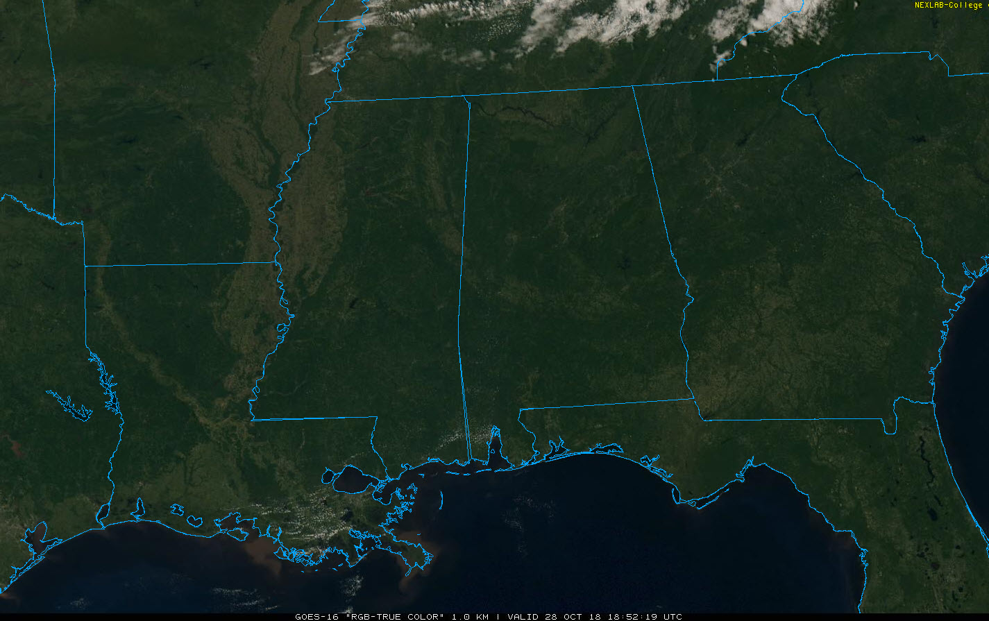
A nearly perfect fall day is in progress across Central Alabama on this last Sunday of October. For now, visible satellite imagery shows clear skies across all 67 counties of Alabama. A few clouds are diving southeastward over Kentucky and Tennessee. They are associated with an area of moisture at 10,000 feet to the south of a disturbance sliding through Illinois and Indiana. This system will push a cold front into Alabama overnight tonight. It will not be associated with any precipitation since it is fairly moisture starved. It will deliver a new batch of dry air to Alabama.
We are in the lower and middle 70s early this afternoon, heading for highs between 76F-81F. Lows tonight will be in the 40s north of I-20, and lower to middle 50s over South Central Alabama.
MORE NICE WEATHER ON MONDAY: Skies will start out partly cloudy on Monday, but clear during the day. Highs will top out between 69F-73F in the I-20 Corridor, slightly cooler north, slightly warmer south. You will notice the northerly breeze on Monday, gusting to 15-20 mph at times. We will be back in the upper 40s and lower 50s Tuesday morning.
TUESDAY PERFECTION: Near total sunshine, low humidity and mild temperatures in the 70s will be featured on Tuesday.
WEDNESDAY TRANSITION: Moisture levels will begin to increase on Wednesday as a trough of low pressure moves out of the Rockies and low pressure trues to form over the ArkLaMiss to the west of Alabama. A warm front will come northward Wednesday night and we may deal with a few showers, especially over northwestern sections during Trick or Treat time. But most of the rain should come after the ghouls and goblins are safely home gorging on candy.
SEVERE WEATHER THREAT: As the cold front moves across Alabama on Thursday, there could be a severe weather threat, especially Thursday afternoon over eastern Alabama. It is unclear how significant the threat will be, or whether tornadoes will be part of the equation. Suffice to say, it would be wise to pay attention to later forecasts and severe weather risks as we get closer to midweek.
Category: Alabama's Weather, ALL POSTS
About the Author (Author Profile)
Bill Murray is the President of The Weather Factory. He is the site's official weather historian and a weekend forecaster. He also anchors the site's severe weather coverage. Bill Murray is the proud holder of National Weather Association Digital Seal #0001 @wxhistorianSubscribe
If you enjoyed this article, subscribe to receive more just like it.


