Amazing Rises in Dewpoint Temperature Bring the Moisture Ingredient for Severe Weather
This morning, dewpoint temperatures across North Central Alabama were in the middle 50s. At Gadsden at 7 a.m., the dewpoint was 55F. Now it is 68F. In fact, dewpoints all across Central Alabama are in the upper 60s to near 70F. Quite amazing for November.
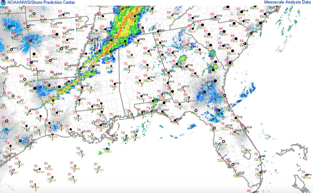
The rapid rise in dewpoints was thanks to a strong low level jet at 5,000 feet that developing ahead of a strong, negatively tilted trough of low pressure to our northwest. Winds in this ket were over 70 knots across western Tennessee and northern Mississippi, which is over 80 mph!
This led to efficient northward transport of moisture from the Gulf of Mexico and set the stage for severe weather across Alabama and the South.
The storm near Iuka, Mississippi has a strengthening circulation and could become tornadic. It will move through northwestern Colbert and into Lauderdale County. It will pass near or just north fo Florence, Alabama between 11:15 and 11:30 p.m. A tornado warning was just issued for Colbert and Lauderdale Counties.
Surface based instability values are running 500-1000 joules over Northwest Alabama, with storm relative helicity values pegged at over 500 m2/s2. Bulk shear is running an amazing 65-70 knots. So there is sufficient shear and instability as well as moisture.
Strong storms near Pontotoc west of Tupelo will reach Franklin County Alabama around 11:30-11:45.
Category: Alabama's Weather, ALL POSTS, Severe Weather
About the Author (Author Profile)
Bill Murray is the President of The Weather Factory. He is the site's official weather historian and a weekend forecaster. He also anchors the site's severe weather coverage. Bill Murray is the proud holder of National Weather Association Digital Seal #0001 @wxhistorianSubscribe
If you enjoyed this article, subscribe to receive more just like it.


