After Morning Storms, Election Day Is Turning Out To Be Rather Nice
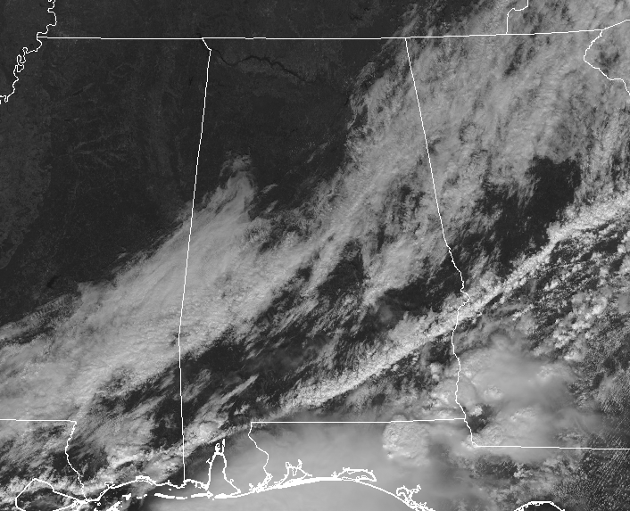
11:15 AM CST: After a really busy early morning hours across North and Central Alabama, conditions have improved greatly as we make the run-up to the midday hour. We have sunny skies in the northwestern parts of the state as the cloud cover associated with the cold front continues to push to the east and dissipating. The squall line is now down over the extreme southeastern parts of the state, but it is much weaker than it was just 8 hours ago. There are no active watches or warning issued for the line at this point.
Temperatures across Central Alabama are currently in the mid-60s to the mid-70s throughout the area with dewpoints decreasing substantially behind the cold front. Dewpoints in the mid-60s are being reported in the extreme southeastern corner of the area, while dewpoints are in the mid-40s in the northwestern parts of Central Alabama.
REST OF TODAY: Conditions will continue to get better throughout the afternoon hours as skies will clear out across much of the area. Skies will be mainly clear across Central Alabama by the time we reach the evening rush hour with the exception of the southeast corner of the area, where some lingering clouds will be left over from the cold front. Afternoon highs will top out in the lower 70s to the lower 80s from northwest to southeast. Unfortunately, the cold front is projected to start moving back to the north as a warm front, and that will bring a chance of showers back into the forecast. Rain chances will be low (20-30%) throughout the overnight and pre-dawn hours on Wednesday, but they will be increasing from south to north. Overnight lows will dip into the upper 40s to the lower 60s from north to south.
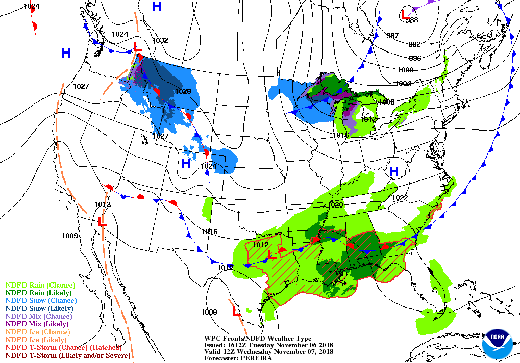
WEDNESDAY: As the warm front continues to push northward, our atmosphere will become a little more unstable with rain chances increasing throughout the area. Scattered showers will be possible (40-50% chance) north of a line from Demopolis to Clanton to Alexander City, with numerous showers likely (60-70% chance) along and south of that line. Skies will be mostly cloudy when rain is not falling and highs will be in the lower 60s to the mid-70s from northwest to southeast.
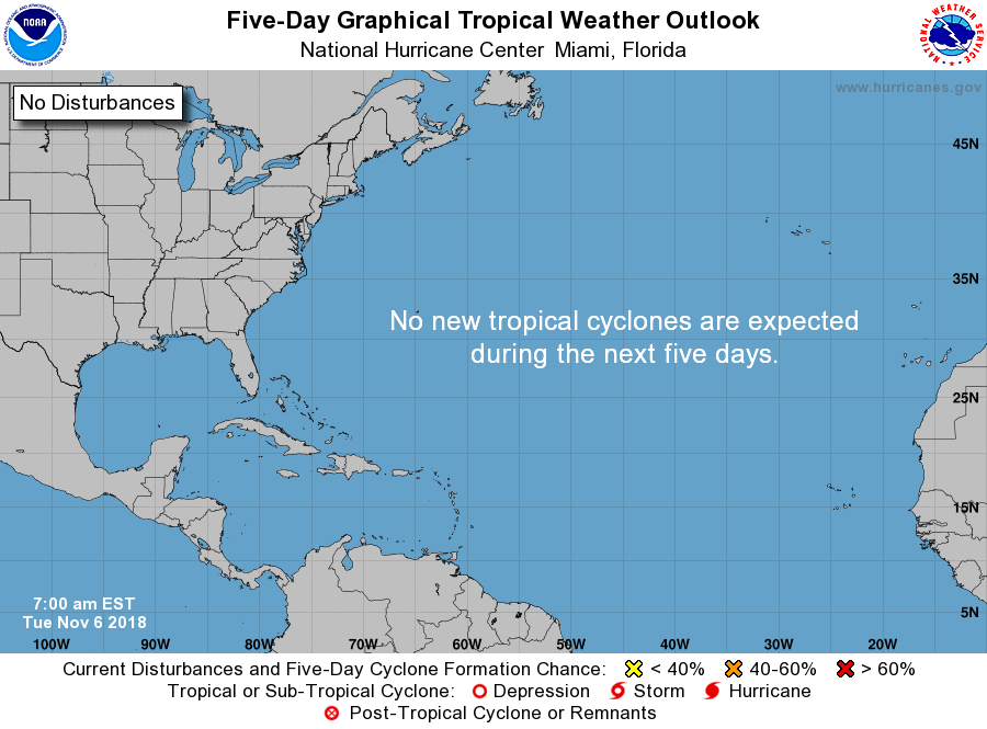
TROPICS: The Atlantic Ocean, Caribbean Sea, and the Gulf of Mexico are rather quiet at this time. Formation of new tropical cyclones is not expected over the next five days.
BEACH FORECAST: Get the latest weather and rip current forecasts for the beaches from Fort Morgan to Panama City on our Beach Forecast Center page. There, you can select the forecast of the region that you are interested in.
WEATHERBRAINS: Due to the severe weather threat on Monday night, this week’s show will be recorded tonight. Listen to the show at WeatherBrains.com or on iTunes. This is the show all about weather featuring many familiar voices, including the meteorologists at ABC 33/40.
ADVERTISE WITH US TODAY: Don’t miss out! We are having a record-breaking year! We have enjoyed over 13.5 MILLION page views on AlabamaWx.com since the start of 2018. We can customize a creative, flexible and affordable package that will suit your organization’s needs. Contact Bill Murray at (205) 687-0782.
E-FORECAST: Get the AlabamaWx Weather Blog’s Seven-Day Forecast delivered directly to your inbox by email twice daily. It is the most detailed weather forecast available in Central Alabama. Subscribe here… It’s free!
Category: Alabama's Weather, ALL POSTS
About the Author (Author Profile)
Scott Martin is an operational meteorologist, professional graphic artist, musician, husband, and father. Not only is Scott a member of the National Weather Association, but he is also the Central Alabama Chapter of the NWA president. Scott is also the co-founder of Racecast Weather, which provides forecasts for many racing series across the USA. He also supplies forecasts for the BassMaster Elite Series events including the BassMaster Classic.Subscribe
If you enjoyed this article, subscribe to receive more just like it.


