At Midday: Skies Starting To Clear But A Good Bit Cooler Than Yesterday
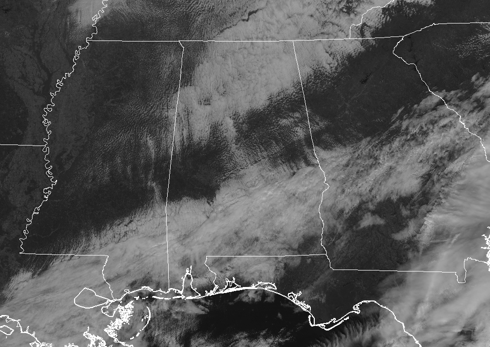
While skies are mostly cloudy across Central Alabama as we have reached the 11 o’clock hour on the Tuesday before Thanksgiving, some clearing is occurring and we should have mostly clear skies across much of the area by sunset. All shower activity has finally cleared out of Central Alabama, as the few lingering showers have moved out of the southeastern corner of the area into southwestern Georgia. It’s much cooler outside today compared to 24-hours ago, as we are seeing readings in the lower 40s to the mid-50s across the area from northwest to southeast. These are roughly 10-15 degrees cooler than what we saw around 11:15 am yesterday.
WEATHER FOR THE REST OF YOUR TUESDAY: Skies will continue to slowly clear out across Central Alabama through the afternoon and into the early evening hours, but by sunset we should have partly to mostly clear skies. Afternoon highs will top out in the lower 50s to the lower 60s across the area from north to south. Temperatures will be chilly tonight and through the overnight hours as lows will get back down into the upper 20s to the upper 30s underneath mostly clear skies.
PLENTY OF SUNSHINE BUT REMAINING COOL ON WEDNESDAY: Other than the cooler than normal temperatures across Central Alabama, Wednesday will be an absolutely nice day. We’ll have plenty of sunshine with an occasional passing cloud or two, with afternoon highs topping out in the lower 50s to the lower 60s across the area from northwest to southeast.
A LITTLE WARMER ON TURKEY DAY: We’ll have some cloud cover at times throughout the morning and into the mid-afternoon hours on Thanksgiving Day, but skies should clear out before sunset. The good news is there will be no rain with those clouds and afternoon highs will be a little warmer into the upper 50s to the lower 60s.
AFTER THANKSGIVING SHOPPING WEATHER: We’ll be dry to start off Black Friday at 12:00 am with temperatures in the upper 30s to the mid-40s. The bad news is that we could see shower activity move in from the west by sunrise, mainly west of I-65. By noon, all of Central Alabama will have a chance of showers (40-50%) with the higher chances in the western half of the area. Afternoon highs will be in the 50s with the warmest temperatures occurring in the southeastern parts of the area. Rain becomes likely for the entire area by sunset and through the rest of the night and the overnight hours. Lows will bottom out in the lower 40s to the lower 50s.
IRON BOWL WEATHER: The good news is that the models are continuing to show that rain will be well out of the area for Alabama vs Auburn at Bryant-Denny Stadium with the kickoff scheduled at 2:30 pm CST. Skies will be partly to mostly cloudy throughout the game with temperatures starting off in the lower 60s and falling into the mid-50s by the final whistle. Of course, it is still 4 days away, so the timing of the rainfall could change. We’ll keep our eye on it throughout the week.
THE TROPICS: No areas of interest across the Atlantic Ocean, Gulf of Mexico, or the Caribbean Sea, and no new tropical cyclone development is expected throughout the next 5 days. Only 10 more days of the Atlantic Hurricane Season left for 2018.
BEACH FORECAST CENTER: Get the latest weather and rip current forecasts for the beaches from Fort Morgan to Panama City on our Beach Forecast Center page. There, you can select the forecast of the region that you are interested in.
ON THIS DAY IN WEATHER HISTORY: 1989 – Low pressure brought thunderstorms and high winds to the northeastern U.S. There were 193 reports of damaging winds with thunderstorms in New York State, Pennsylvania and New Jersey. Tornadoes touched down near Seaside Park NJ and McAlevys Port PA. Winds with thunderstorms gusted to 92 mph at Poughkeepsie NY, and reached 94 mph at Newburgh NY. High winds in the Washington D.C. area, gusting to 73 mph, resulted in one death.
WE’RE HAVING A RECORD-BREAKING YEAR… ADVERTISE WITH US TODAY!: Don’t miss out! We have enjoyed over 18.1 million page views on AlabamaWx.com so far in 2018. We can customize a creative, flexible and affordable package that will suit your organization’s needs. Contact Bill Murray at (205) 687-0782.
E-FORECAST: Get the Alabama Wx Weather Blog’s Seven-Day Forecast delivered directly to your inbox by email twice daily. It is the most detailed weather forecast available in Central Alabama. Subscribe here… It’s free!
CONNECT ON SOCIAL MEDIA: You can find the AlabamaWx Weather Blog on the major social media networks:
Facebook
Twitter
WEATHERBRAINS: Don’t forget you can listen to our weekly 90 minute netcast anytime on the web at WeatherBrains.com or on iTunes, Stitcher, or Spotify. This is the show all about weather featuring many familiar voices, including the meteorologists at ABC 33/40.
Category: Alabama's Weather, ALL POSTS
About the Author (Author Profile)
Scott Martin is an operational meteorologist, professional graphic artist, musician, husband, and father. Not only is Scott a member of the National Weather Association, but he is also the Central Alabama Chapter of the NWA president. Scott is also the co-founder of Racecast Weather, which provides forecasts for many racing series across the USA. He also supplies forecasts for the BassMaster Elite Series events including the BassMaster Classic.Subscribe
If you enjoyed this article, subscribe to receive more just like it.


