Ingredients Are Coming Together For Strong To Severe Storms… Just Wait And See Time
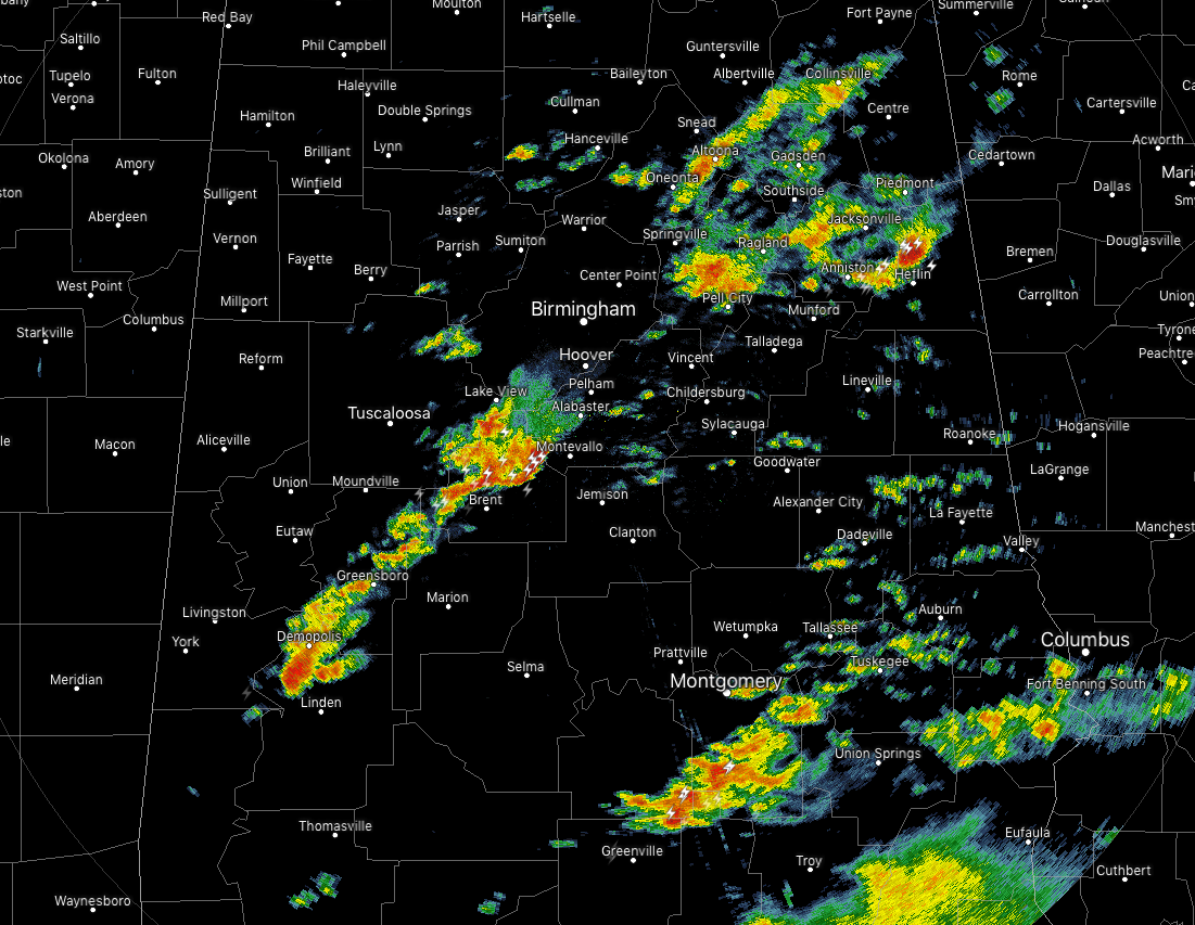
As of 1:30 pm, scattered batches of showers and thunderstorms are occurring mainly along and just south of the I-59 corridor across the area, with another batch of showers and storms just north of the I-20 corridor in the eastern parts of the area. Lightning output has definitely increased over the past couple of hours as instability is starting to rise across the area.
The ingredients that we have been talking about for the past few days are now starting to come together across Central Alabama. The potential for strong to severe thunderstorms is now starting to form. A warm front is working its way into the western parts of the area. Temperatures, along with dewpoints, are really starting to rise along and behind the warm front. Let’s take a look at atmospherical conditions across the area.
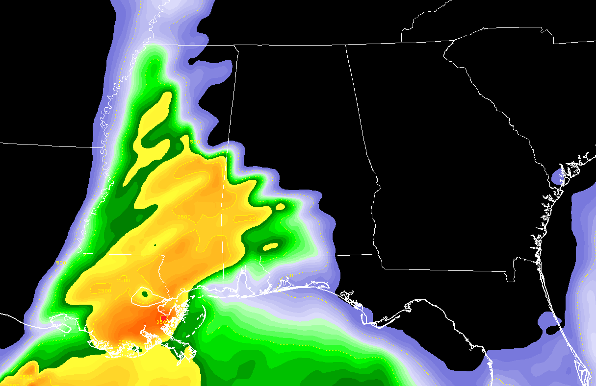
Destabilization is occurring along and behind the warm front in the southwestern parts of the state where CAPE values are now in the 500-2,500 J/kg range.
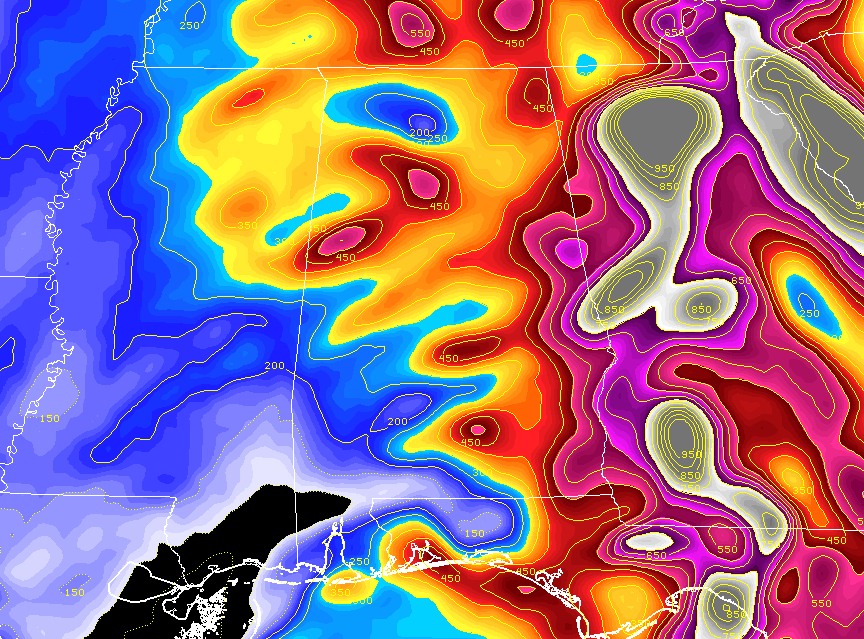
We already have a good bit of shear in place over Central Alabama, as we can see helicity values from the surface to 3,000 feet ranging from 200-600 m2/s2 from west to east across the area. Surface winds are currently backed out of the southeast across much of Central Alabama and veers quickly out of the southwest while increasing in speed at 5,000 feet.
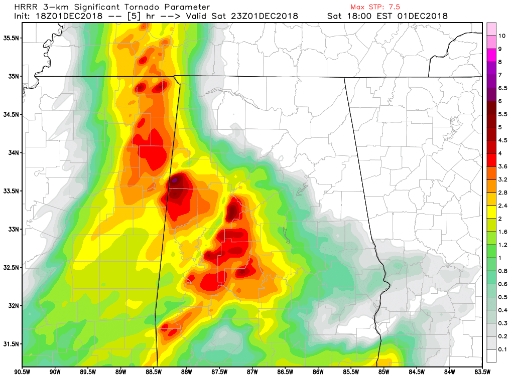
STP values from the latest HRRR model run show values continuing to increase. This image is valid at 5:00 pm with values topping out at 7.5. That is well more than the values that we had during the last blog update.
So, now comes the waiting game. We’ll have to watch the radar closely for any thunderstorm development along and just behind the warm front. That is where you will see the best chances of stronger to severe thunderstorm development. All modes of severe weather remain possible, damaging wind gust up to and possibly exceeding 60 MPH, quarter-size hail, and a few tornadoes. Remember… this is conditional if we have thunderstorm development.
The main window for severe storms will be from now through at least 4:00 am Sunday, and could just linger a little longer in the southeastern parts of the area.
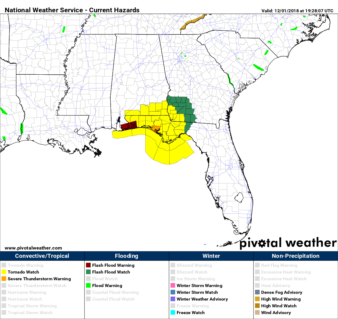
SPC has already issued a Tornado Watch for portions of Southeast Alabama, the Florida Panhandle, and Southwest Georgia through 6:00 pm CST tonight. We are waiting to see if any discussion comes out for any part of our area.
We’ll continue to keep you posted throughout the day on the AlabamaWx Weather Blog. Check back often.
Category: Alabama's Weather, ALL POSTS
About the Author (Author Profile)
Scott Martin is an operational meteorologist, professional graphic artist, musician, husband, and father. Not only is Scott a member of the National Weather Association, but he is also the Central Alabama Chapter of the NWA president. Scott is also the co-founder of Racecast Weather, which provides forecasts for many racing series across the USA. He also supplies forecasts for the BassMaster Elite Series events including the BassMaster Classic.Subscribe
If you enjoyed this article, subscribe to receive more just like it.


