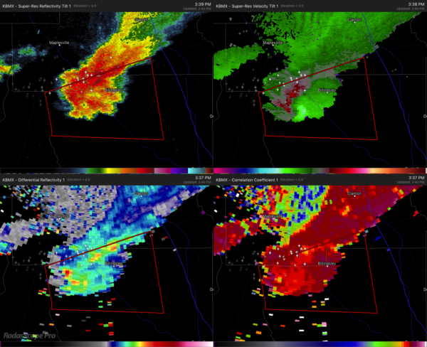
Rotation Continues To Look Strong On Tornado Warned Storm
The Tornado Warning continues until 4:00 pm on the severe thunderstorm that is about to move over Billingsley. Please take shelter if you are in the path of this cell. Damage has already been reported back in Perry County.
The rotational signature on radar continues to look rather impressive at this time. Movement at this point is to the east at 25 MPH. At one point, this storm had the eagle look to it.
If it continues on the same path and strength, the next several locations in the path will be Deatsville, just north of Elmore and Wetumpka, and Eclectic.
Category: ALL POSTS


