A Fine But Rather Cool Tuesday At Midday
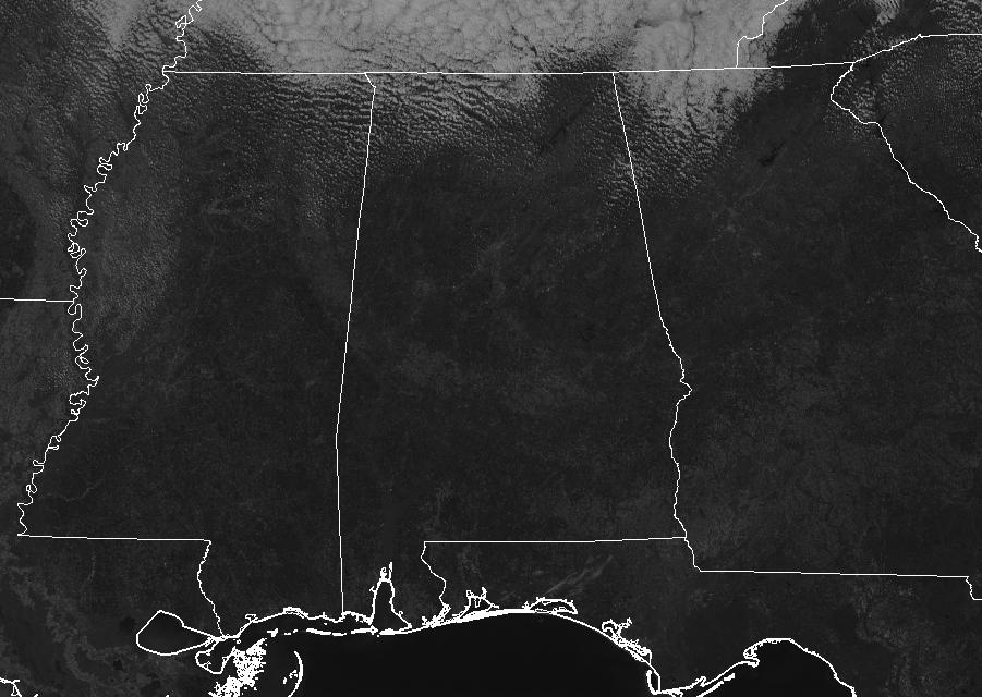
CONDITIONS ACROSS CENTRAL ALABAMA AT 12:45 PM: Skies are mainly sunny across Central Alabama on this fine but rather cool Tuesday. All of this sunshine is not winning the battle over the cooler air being pulled into the state, keeping our temperatures below normal for the early December. Temperatures are in the mid-40s to the mid-50s across the area from north to south at this point, with the warm spot being Troy at 54 degrees. The cool spot is Haleyville at 45 degrees.
WEATHER FOR THE REST OF YOUR TUESDAY: We’ll continue to have mostly sunny across Central Alabama as temperatures will remain mighty cool. Afternoon highs will top out in the upper 40s to the upper 50s across the area from northwest to southeast. For tonight and through the overnight hours, skies will have a few extra clouds across the extreme northern parts of the area, while the rest of Central Alabama will be mainly clear. Overnight lows will be in the mid-20s to the lower 30s.
WEDNESDAY WILL BE BEAUTIFUL BUT VERY COOL: Temperatures will continue to run below normal for the first Wednesday of December, even with nearly maximum sunshine through the daylight hours. Afternoon highs will top out in the mid-40s to the lower 50s, which will be around 10 degrees below normal. It will be downright cold during the late night and overnight hours as temperatures will plummet into the 20s across the area underneath mainly clear skies.
CLASS 7A STATE CHAMPIONSHIP FOOTBALL GAME AT JORDAN-HARE STADIUM: Central of Phenix City will be taking on Thompson down on the plains in Auburn for the AHSAA Class 7 State Championship with kickoff slated at 7:00 pm CST on Wednesday night. Skies will be clear throughout the game with temperatures at kickoff in the mid-30s and falling into the lower 30s by the end of the game. Wind chill values will be in the lower 30s as winds will be out of the northwest at 3-6 MPH.
TORNADO CONFIRMED IN PERRY COUNTY ON SATURDAY: A confirmed weak EF-0 tornado touched down at approximately 2:34 pm on Saturday near State Highway 5 just northeast of the Vaiden Field Airport in Perry County. The tornado was on the ground for a total of 0.31 miles, causing some minor structural damage and downing a few trees. The damage path was about 75 yards wide and lifted just two minutes after touchdown. You can read the full details of the Perry County Tornado on the NWS Birmingham’s Event Summary Page.
BEACH FORECAST CENTER: Get the latest weather and rip current forecasts for the beaches from Fort Morgan to Panama City on our Beach Forecast Center page. There, you can select the forecast of the region that you are interested in.
WE’RE HAVING A RECORD-BREAKING YEAR… ADVERTISE WITH US TODAY!: Don’t miss out! We have enjoyed over 18.7 MILLION page views on AlabamaWx.com so far in 2018. We can customize a creative, flexible and affordable package that will suit your organization’s needs. Contact Bill Murray at (205) 687-0782.
E-FORECAST: Get the Alabama Wx Weather Blog’s Seven-Day Forecast delivered directly to your inbox by email twice daily. It is the most detailed weather forecast available in Central Alabama. Subscribe here… It’s free!
CONNECT ON SOCIAL MEDIA: You can find the AlabamaWx Weather Blog on the major social media networks: Facebook & Twitter.
WEATHERBRAINS: Don’t forget you can listen to our weekly 90 minute netcast anytime on the web at WeatherBrains.com or on iTunes, Stitcher, or Spotify. This is the show all about weather featuring many familiar voices, including the meteorologists at ABC 33/40.
ON THIS DAY IN WEATHER HISTORY: 2002 – An early season winter storm brought an expansive shield of snow and ice through much of the eastern U.S., from the lower Ohio Valley, southern Appalachians and into the Northeast. Snow accumulations of 4-8 inches were common along the northern edge of the precipitation shield, while a significant accrual of glaze occurred in the Carolinas. The storm caused at least 17 fatalities, mostly from traffic accidents (CNN). In the Carolinas, electric utilities provider Duke Power characterized the ice storm as the worst in the company’s history, with 1.2 million customers or nearly half its entire customer base without power on the morning of the 5th. This surpassed electrical outages inflicted by Hurricane Hugo as it swept through the central Carolinas in September 1989.
Category: Alabama's Weather, ALL POSTS
About the Author (Author Profile)
Scott Martin is an operational meteorologist, professional graphic artist, musician, husband, and father. Not only is Scott a member of the National Weather Association, but he is also the Central Alabama Chapter of the NWA president. Scott is also the co-founder of Racecast Weather, which provides forecasts for many racing series across the USA. He also supplies forecasts for the BassMaster Elite Series events including the BassMaster Classic.Subscribe
If you enjoyed this article, subscribe to receive more just like it.


