Sunday Morning Weather Xtreme Video: Clearing Today; Next Rain Late Wednesday, Early Thursday
We’re getting off to a fairly mild start by mid-December standards on this Sunday morning. Clouds are still prevalent across the state, and temperatures have stayed up as a result. You will see gradual clearing this morning, with sunshine becoming dominant by early afternoon. This will allow afternoon highs to climb into the middle and upper 50s. Get those cameras ready for a potentially good looking sunset though, as high clouds invade from the west during the afternoon though. No weather associated with them, but perhaps a great backdrop at sunset. Lows tonight will drop into the 30s, but most people will stay above freezing.
MONDAY: Tomorrow looks like a good day, with highs in the upper 50s to near 60F along with a good supply of sunshine. A fast-moving upper-level disturbance will be swinging through late Monday, but it will be moisture starved and no weather is expected to accompany it. Lows Monday night will be in the 30s again.
TUESDAY: Ridging will be building in across the Deep South on Tuesday both at the surface and aloft. Highs will be in the 50s again with lows in the 30s.
WEDNESDAY: By midweek, a strengthening trough will be over the Arklatex. Showers will be at the gate for us here in Alabama, but they will have a hard time getting into the state as high pressure holds on tenaciously. Highs will be near 60F.
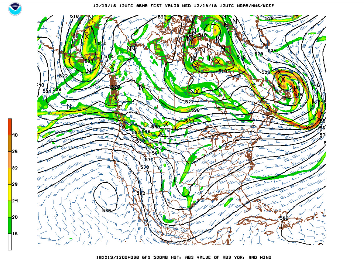
THURSDAY: The trough to our west will be deepening on Thursday. It even may take on the negative tilt that you sometimes hear us talking about, meaning it is especially energetic. Rain will be likely during the day. Highs will be limited to the 50s.
FRIDAY: The upper-level low closes off by Friday over the Southeast. This will keep a chance of rain in the forecast. More storms will be impacting the Florida Peninsula with severe weather a good possibility. For us, nothing like that. Just another decent soaking rain. Amounts should be around three-quarters of an inch across Central Alabama, with some heavier amounts to the south.
WEEKEND OUTLOOK: Ridging begins to build over Alabama in time for the weekend. This will set the stage for a cool and dry Saturday and Sunday. Highs again will be in the 50s.
HOLIDAY FORECAST: By Christmas Eve, a weakening shortwave will be moving towards Alabama. This will drive a weakening cold front towards us. A few showers will reach Northwest Alabama. By Christmas Day, another trough to our west will bring a broad southwesterly flow our way. There will be a few lingering showers over Alabama.
VOODOO TERRITORY: It looks like a wet and stormy period will set in between the 27thand 30th across Alabama and the South. That could be a 2-4 inch soaker that week. It looks like we could be 70F by that Saturday the 29th with a strong subtropical high stubbornly holding sway over the northern Caribbean and pumping the moisture northward. Could there be severe weather then? Certainly a possibility.
NEW YEARS EVE: A passing shortwave should move the rain out before New Year’s Eve celebrations.
GULF COAST WEATHER: Rain Wednesday night into early Thursday along the beautiful beaches of Alabama and Northwest Florida. Highs will be in the 60s and some 50s. Lows will be in the 40s. Click here to see the Beach Forecast Center page.
WEATHERBRAINS: This week, the panel will entertain Dr. Gary Alan Fine, a Professor of Sociology from Northwestern University. What does that have to do with weather, you might ask? I am glad you did. He did a great book about weather prediction in 2007 that has great application today. Check out the show at www.WeatherBrains.com. You can also subscribe on iTunes. You can watch the show live at live.bigbrainsmedia.com You will be able to see the show on the James Spann 24×7 weather channel on cable or directly over the air on the dot 2 feed.
ON THIS DATE IN 2001: Some terrifying video was shot by cameraman Cyril Samonte and ABC3340’s John Oldshue of ABC3340 as F4 tornado passed between the JVC plant and the Hampton Inn at the Cottondale Exit off I-59 near Tuscaloosa. John ran for cover in the Hampton Inn, not expecting the rear entrance to be locked. Fortunately, the well-prepared hotel staff let him in and the video shot in the hallway of the hotel as the tornado passed over is extremely compelling. Follow my weather history tweets on Twitter. I am @wxhistorian at Twitter.com.
Category: Alabama's Weather, ALL POSTS
About the Author (Author Profile)
Bill Murray is the President of The Weather Factory. He is the site's official weather historian and a weekend forecaster. He also anchors the site's severe weather coverage. Bill Murray is the proud holder of National Weather Association Digital Seal #0001 @wxhistorianSubscribe
If you enjoyed this article, subscribe to receive more just like it.


