A Decent Midday Across Central Alabama, Rain Returns Tomorrow
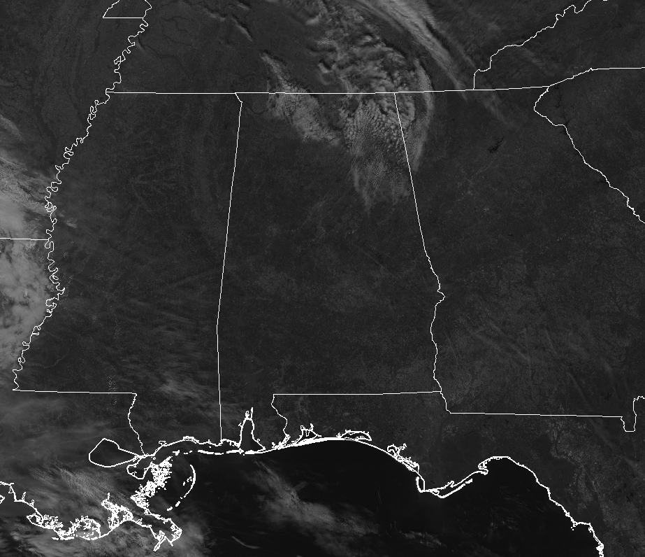
CONDITIONS ACROSS CENTRAL ALABAMA AT 11:45 AM: We have plenty of sunshine across the area at this point before the noon hour with the exception of some stray clouds in the northeastern parts of the area and a few thin clouds across the southern parts. Temperatures at this point were in the mid-50s to the lower 60s across the area with Birmingham sitting at 57 degrees. Several spots are tied at 61 degrees as the warm spot, while the cool spot was Gadsden at 54 degrees.
WEATHER FOR THE REST OF YOUR TUESDAY: Skies will continue to be mostly clear during the rest of the afternoon and into the early evening hours, but we’ll have some high clouds continue to stream in from the west mainly over the southern half of the area. More clouds will move in later tonight and through the overnight hours ahead of our next rainmaking system that will bring rain chances to the forecast by Wednesday Afternoon. Today’s highs will be in the lower to mid-60s with overnight lows in the mid-30s to the lower 40s.
RAIN RETURNS TO CENTRAL ALABAMA ON WEDNESDAY: Latest model runs are showing that we could have a few showers start to enter the southwestern parts of Central Alabama during the afternoon and into the early evening hours, but rain will become likely during the evening and persist through the late night and overnight hours. Skies will start off partly to mostly cloudy during the morning hours but will quickly become mainly cloudy by the afternoon. Wednesday’s highs will be in the upper 50s to the lower 60s with overnight lows in the mid to upper 40s. Rainfall amounts throughout the day to midnight should be around 0.25 inches and less.
QUICK PEEK AT CHRISTMAS EVE AND CHRISTMAS DAY: While Christmas Eve is within the seven-day forecast period, Christmas Day is out in Voodoo Land at this point. The forecast for Christmas Eve looks to be dry with a mix of sun and clouds and highs in the lower 50s to the lower 60s across the area. The trend for Christmas Day shows dry conditions with more clouds than sun with highs in the mid-50s to the lower 60s. We can only continue to sing along with Bing Crosby when we hear White Christmas on the radio because 2018 will not be our year for one in Central Alabama.
BEACH FORECAST CENTER: Get the latest weather and rip current forecasts for the beaches from Fort Morgan to Panama City on our Beach Forecast Center page. There, you can select the forecast of the region that you are interested in.
WE’RE HAVING A RECORD-BREAKING YEAR… ADVERTISE WITH US TODAY!: Don’t miss out! We have enjoyed over 19.2 MILLION page views on AlabamaWx.com so far in 2018. We can customize a creative, flexible and affordable package that will suit your organization’s needs. Contact Bill Murray at (205) 687-0782.
E-FORECAST: Get the Alabama Wx Weather Blog’s Seven-Day Forecast delivered directly to your inbox by email twice daily. It is the most detailed weather forecast available in Central Alabama. Subscribe here… It’s free!
CONNECT ON SOCIAL MEDIA: You can find the AlabamaWx Weather Blog on the major social media networks:
Facebook
Twitter
WEATHERBRAINS: Don’t forget you can listen to our weekly 90 minute netcast anytime on the web at WeatherBrains.com or on iTunes, Stitcher, or Spotify. This is the show all about weather featuring many familiar voices, including the meteorologists at ABC 33/40.
Category: Alabama's Weather, ALL POSTS
About the Author (Author Profile)
Scott Martin is an operational meteorologist, professional graphic artist, musician, husband, and father. Not only is Scott a member of the National Weather Association, but he is also the Central Alabama Chapter of the NWA president. Scott is also the co-founder of Racecast Weather, which provides forecasts for many racing series across the USA. He also supplies forecasts for the BassMaster Elite Series events including the BassMaster Classic.Subscribe
If you enjoyed this article, subscribe to receive more just like it.


