Clouds Invading Central Alabama, Showers Possible Tonight
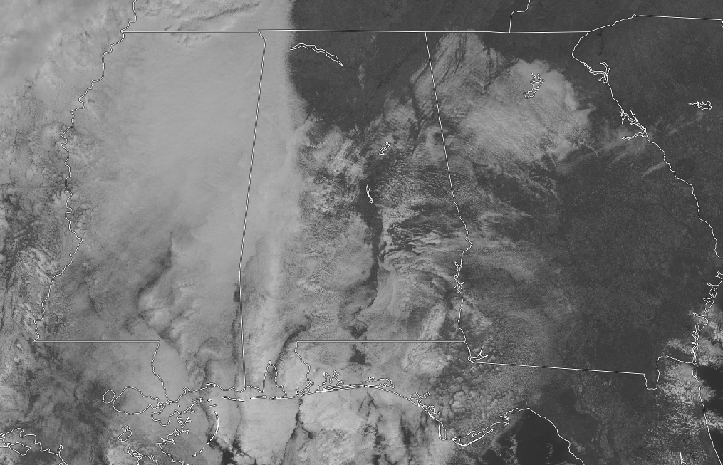
While some of us in Central Alabama is enjoying a great deal of sunshine as we make our approach to the midday hour, we see that we have clouds that have moved in over the western half and nearly all of the southern portions of the area. These clouds are associated with the system that will bring us showers starting later tonight and through much of the day on Wednesday before possibly changing over to a little snow or sleet while exiting the area late Wednesday night. Temperatures across Central Alabama at 11:00 am are in the 40s across the area. Birmingham was sitting at 45 degrees while Jasper and Tuscaloosa were both tied as the warm spot at 48 degrees. The cool spot was Talladega at 43 degrees.
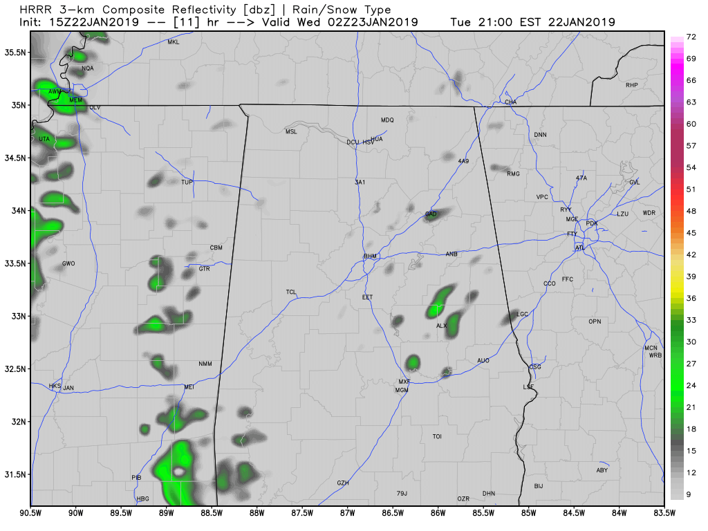
The above image is from the HRRR valid at 8:00 pm tonight and it shows there may be a few scattered showers out there during the late evening into the late night hours. At this point, it doesn’t look like rain will become likely across the area until a little after midnight tonight. So, for today, we will stay dry through sunset with clouds continuing to increase from the west. It will remain rather cool today with highs topping out in the upper 40s to the mid-50s across the area. For tonight and into the pre-dawn hours on Wednesday, skies will be cloudy and we’ll have a chance of scattered showers through midnight. Rain will become more likely from west to east through the overnight hours. Overnight lows will be in the lower 40s to the lower 50s.
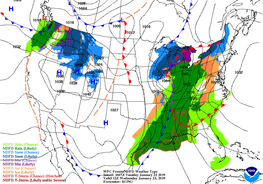
On Wednesday, a warm front will be pushing up from the south as a cold front will begin to move into Central Alabama during the day. Showers and a few rumbles of thunder will be likely throughout the area, but no severe weather is expected. Once the cold front passes your location, there is a small chance of a few flurries on the backside of the precipitation. Unfortunately for those snow fans, the colder air looks to be a little slower in arriving as the precipitation pushes out of the area. So, while some flurries are possible, no accumulations are expected. Wednesday’s highs will be in the lower 50s to the upper 60s across the area from northwest to southeast, while lows will be in the upper 20s to the upper 30s.
On this day in weather history back in 1904, a tornado struck the town of Moundville during the pre-dawn hours. Nearly 40 structures were destroyed, including the Griffin Hotel, the train depot, a grist mill, and a livery stable. 36 people were killed and 150 were injured. Debris was discovered as far away as Tidewater in Tuscaloosa County, over 19 miles away.
Category: Alabama's Weather, ALL POSTS
About the Author (Author Profile)
Scott Martin is an operational meteorologist, professional graphic artist, musician, husband, and father. Not only is Scott a member of the National Weather Association, but he is also the Central Alabama Chapter of the NWA president. Scott is also the co-founder of Racecast Weather, which provides forecasts for many racing series across the USA. He also supplies forecasts for the BassMaster Elite Series events including the BassMaster Classic.Subscribe
If you enjoyed this article, subscribe to receive more just like it.


