Skies Continue To Clear Out At Midday, Winter Weather Advisory Canceled

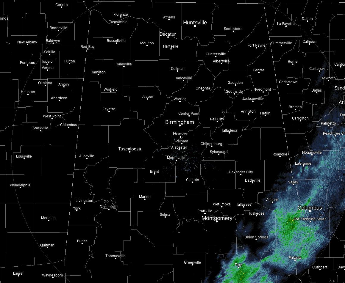
Nearly all of the western half of the state is bathed in complete sunshine while clouds still linger around over the extreme east and southeastern parts of Central Alabama. The last bit of remaining shower activity is located over Troy, Brundidge, Eufaula, Hurtsboro, and Phenix City.
The Winter Weather Advisory has been canceled for all of Central Alabama. No watches or warnings remain in effect throughout the area.
Temperatures across Central Alabama are in the upper 20s to the upper 40s, with Haleyville at 28 degrees, Birmingham at 34 degrees, and Eufaula at 49 degrees.
Out of all of the snow reports sent into NWS Birmingham, there was only one that had an amount above a trace. Nearly 1/4 was reported near the Brooksville community in Blount County.
Skies will continue to clear throughout the rest of the morning and we should have complete sunshine during the afternoon hours. Temperatures should climb back up into the mid-30s to the upper 40s across the area from northwest to the southeast. Winds out of the northwest at 10-15 MPH with gusts up to 25 MPH may help the exposed surfaced dry even faster throughout the day, but we’ll pay the price as wind chill values will be running at or just over 10 degrees colder than the actual temperature at times.
For this evening and throughout the late night and overnight hours, skies will be clear and that will allow any radiational heating to escape back into the atmosphere. That means our temperatures will start to quickly drop back below freezing right after midnight and with everyone below the freezing point before your late local news starts. Overnight lows will bottom out in the lower to mid-20s across the area. Watch for any black ice out there on the roadways as whatever moisture remains will quickly freeze.
Wednesday will continue to be cold with partly to mostly cloudy skies across the area. Afternoon highs will top out in the upper 30s to the upper 40s across the area from northwest to southeast.
Not a big fan of this cold weather… we’ll have highs topping out in the 60s on Saturday and Sunday, but we may have to deal with some passing showers.
Category: Alabama's Weather, ALL POSTS, Winter Weather
About the Author (Author Profile)
Scott Martin is an operational meteorologist, professional graphic artist, musician, husband, and father. Not only is Scott a member of the National Weather Association, but he is also the Central Alabama Chapter of the NWA president. Scott is also the co-founder of Racecast Weather, which provides forecasts for many racing series across the USA. He also supplies forecasts for the BassMaster Elite Series events including the BassMaster Classic.Subscribe
If you enjoyed this article, subscribe to receive more just like it.


