Not Too Bad Outside At Midday, Showers Return Late Tuesday
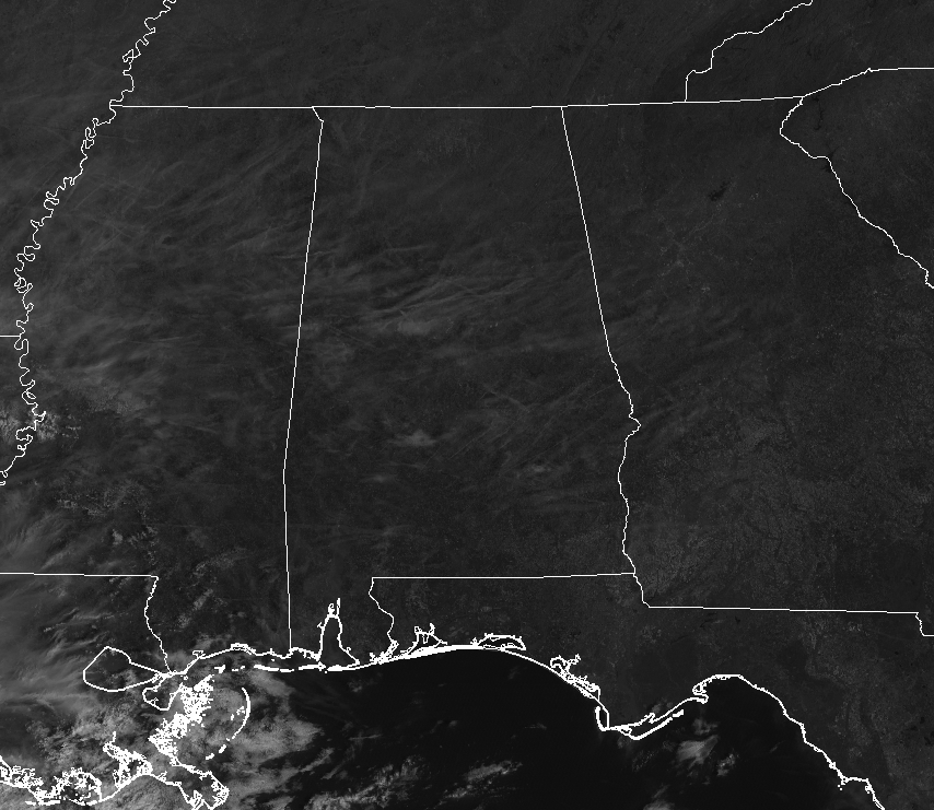
At 12:15 pm on this final Monday for the month of February 2019, we have plenty of sunshine bathing Central Alabama but some higher thin clouds are filtering those rays just a little bit. The good news is that there are no showers showing up anywhere close to the area. The nearest activity is located in the southern parts of Louisiana and out over the Gulf of Mexico. No threat to us anytime soon. Temperatures are in the lower 50s to the mid-60s across Central Alabama at the moment, with Eufaula as the warm spot at 64 degrees. Cullman was the cool spot at 52 degrees, while Birmingham was up to 57 degrees.
We’ll continue to keep these mostly sunny skies for the rest of the daylight hours with those thin clouds continuing to hang around. Afternoon highs will be in the upper 50s to the upper 60s. Unfortunately, clouds will begin to move in during the late night and into the overnight hours, making skies partly cloudy. We’ll continue to stay dry with overnight lows reaching the mid-30s to the mid-40s.
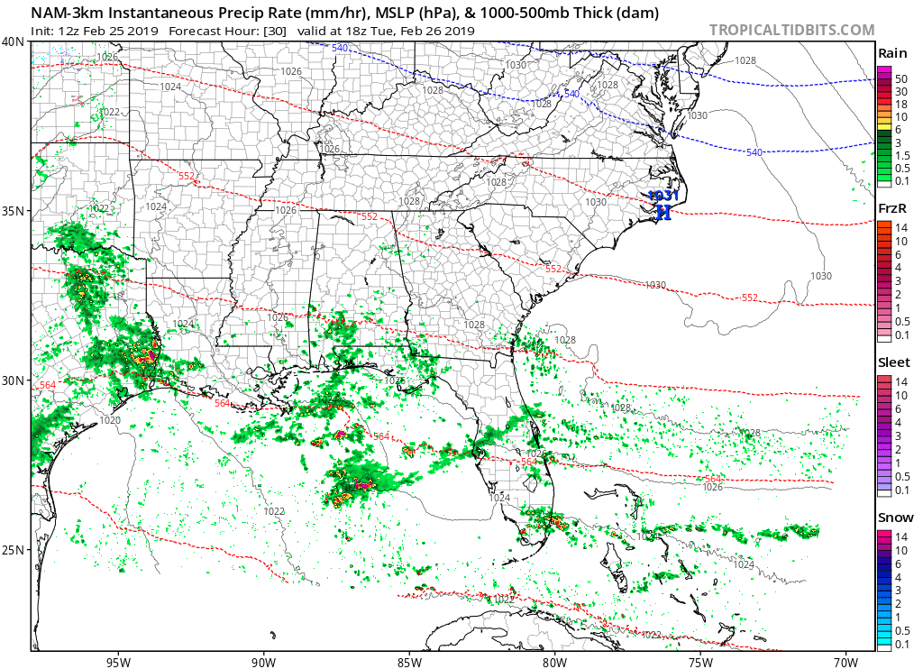
HiRes NAM valid Tuesday at 12:00 pm CT.
Tuesday looks to start off with some sun across the area during the morning hours, but clouds will begin to move in from the south by the late morning. With those clouds comes a chance of showers across the area starting from the south during the late morning and staying confined to the southern half of the area through the daylight hours. Rain chances will only be in the 20-30% range in the south. Afternoon highs will be in the 60s. Shower chances will continue to increase across the area for the late night and through the overnight hours, topping out around 30-50% from north to south. Rainfall amounts should be less than 1/4 inch where it does rain. Overnight lows will be in the mid-40s to the mid-50s.
STORM SURVEYS CONFIRM TORNADOES FROM SATURDAY’S STORMS
NWS Birmingham has confirmed that two tornadoes touched down on Saturday from their surveys that were conducted on Sunday. An EF-1 (peak winds at 105 MPH) touched down near Hightogy in Lamar County and stayed on the ground for over 9 miles before lifting near Crossville in Fayette County. The second twister touched down near Fowlers Crossroads in Fayette County and stayed on the ground for just over 5 miles before lifting near Eldridge in Walker County. It was rated an EF-0 (peak winds at 80 MPH). Surveys are ongoing for the damage in Coosa and Tallapoosa counties as I type.
ON THIS DAY IN WEATHER HISTORY
2009 – Two Alaskan communities set their all-time records for highest wind speed. St. Paul registers a wind of 91 mph, and on St George Island the wind reaches 94 mph.
BEACH FORECAST CENTER
Get the latest weather and rip current forecasts for the beaches from Fort Morgan to Panama City on our Beach Forecast Center page. There, you can select the forecast of the region that you are interested in.
ALREADY OFF TO A HOT START IN 2019! ADVERTISE WITH THE BLOG!
We have enjoyed over 3.6 MILLION page views on AlabamaWx.com so far in 2019! Don’t miss out! We can customize a creative, flexible and affordable package that will suit your organization’s needs. Contact Bill Murray at (205) 687-0782.
E-FORECAST
Get the Alabama Wx Weather Blog’s Seven-Day Forecast delivered directly to your inbox by email twice daily. It is the most detailed weather forecast available in Central Alabama. Subscribe here… It’s free!
CONNECT WITH THE BLOG ON SOCIAL MEDIA
You can find the AlabamaWx Weather Blog on the major social media networks:
Facebook
Twitter
WEATHERBRAINS
Don’t forget you can listen to our weekly 90 minute netcast anytime on the web at WeatherBrains.com or on iTunes, Stitcher, or Spotify. This is the show all about weather featuring many familiar voices, including the meteorologists at ABC 33/40.
Category: Alabama's Weather, ALL POSTS
About the Author (Author Profile)
Scott Martin is an operational meteorologist, professional graphic artist, musician, husband, and father. Not only is Scott a member of the National Weather Association, but he is also the Central Alabama Chapter of the NWA president. Scott is also the co-founder of Racecast Weather, which provides forecasts for many racing series across the USA. He also supplies forecasts for the BassMaster Elite Series events including the BassMaster Classic.Subscribe
If you enjoyed this article, subscribe to receive more just like it.


