Not A Bad Midday Across Central Alabama; Showers & Storms Arrive Late Thursday
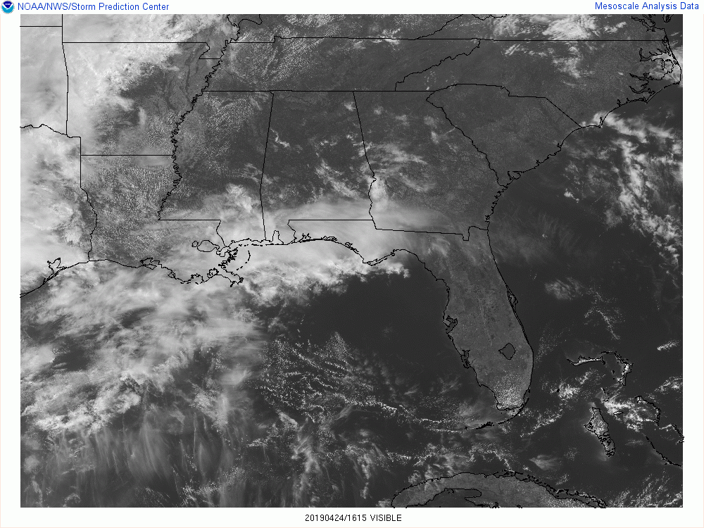
We have a good bit of clear skies out there across Central Alabama with just a few clouds that may block the sun just for a minute or two at a time. Unfortunately, cloud cover will return to the area later this evening and through the overnight hours. Temperatures are in the 70s throughout the area at this time, with Birmingham sitting at 75 degrees. Uniontown and Jasper were tied as the warm spots at 77 degrees while Troy was the cool spot at 70 degrees with some clouds keeping those temperatures down a little for now.
We’ll continue to have mostly clear skies throughout the rest of the afternoon and into the early evening hours, but a few more high clouds may move in before sunset. We’ll stay dry with afternoon highs reaching the lower 80s across Central Alabama with one or two spots reaching the mid-80s. For tonight and through the overnight hours, clouds will be on the increase as the system responsible for bringing us rain and thunderstorms on Thursday and Friday gets closer to the area. Lows will be in the upper 50s to the lower 60s across the area.
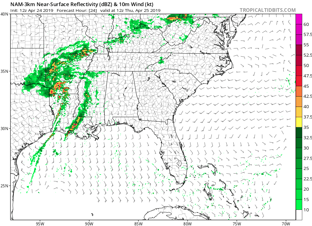
Latest model trends show that a good part of the morning hours will be dry across Central Alabama, but a few isolated to scattered showers may form and move into the western parts of the area as early as the midday hour. It now shows that the main activity will start to move into the western parts of the area around the evening rush hour and move through the area during the evening and late night hours. Much of the activity will be out of the area just after midnight and we’ll be left with a few scattered showers wrapping around the backside of the low during the pre-dawn and the early morning hours on Friday. Afternoon highs will be up in the mid-70s to the lower 80s.
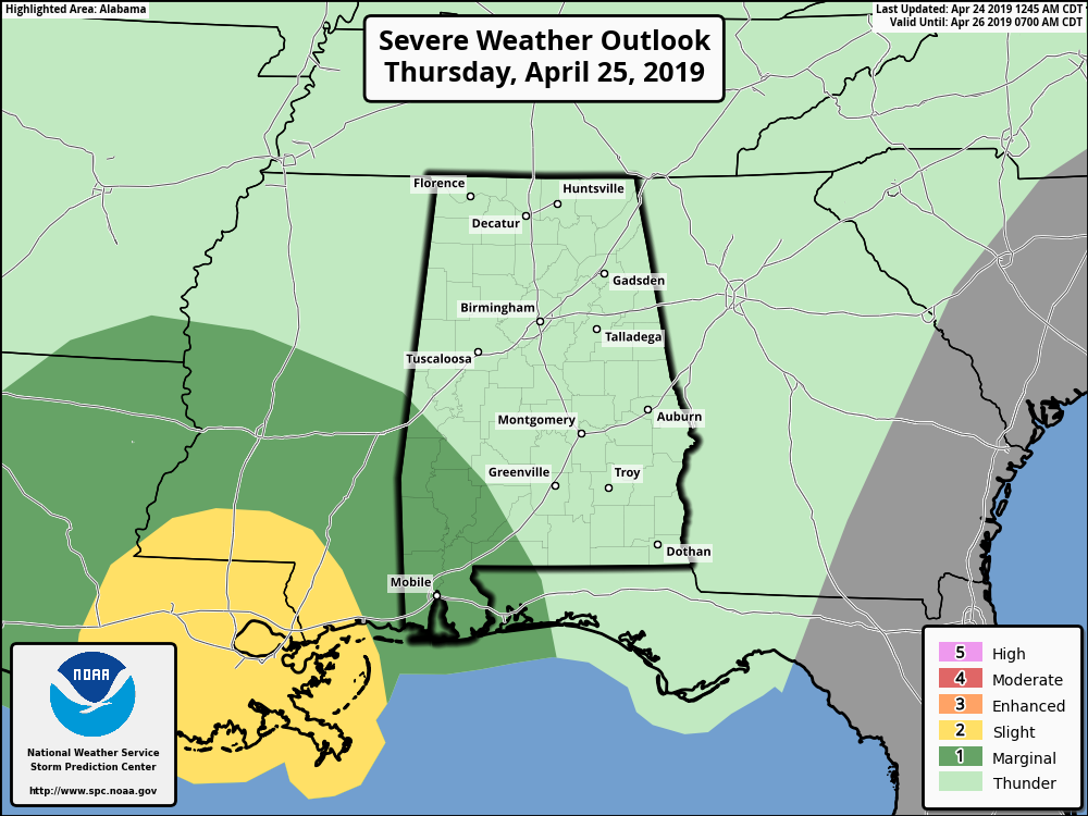
While a strong storm or two may be possible south of the I-20 corridor in the southwestern parts of Central Alabama, as a cluster of storms are expected to move across the Gulf Coast cutting off much of the energy from flowing up into in the area. SPC has a Marginal Risk up for the southern parts of Sumter and Marengo counties where an isolated damaging wind gust up to 60 MPH may be possible, but the threat is very low.
1899 – Two women and one son lived to tell the story of being picked up by a tornado and carried more than a fourth of a mile, flying far above the church steeples, before being gently set down again. The young boy and one of the ladies said they had the pleasure of flying alongside a horse. The horse “kicked and struggled” as it flew high above, and was set down unharmed about a mile away.
1908 – Severe thunderstorms spawned eighteen tornadoes over across the Central Gulf Coast States claiming the lives of 310 persons. The state of Mississippi was hardest hit. A tornado near Hattiesburg MS killed 143 persons and caused more than half a million dollars damage. Four violent tornadoes accounted for 279 of the 310 deaths. The deadliest of the four tornadoes swelled to a width of 2.5 miles as it passed near Amite LA. The tornado also leveled most of Purvis MS.
2010 – An EF-4 tornado up to 1.75 miles wide travels 149.25 miles through Mississippi, the widest and fourth longest path in Mississippi history. It left behind major destruction to businesses, churches and homes, four fatalities in Yazoo City and ten fatalities across the state.
Category: Alabama's Weather, ALL POSTS
About the Author (Author Profile)
Scott Martin is an operational meteorologist, professional graphic artist, musician, husband, and father. Not only is Scott a member of the National Weather Association, but he is also the Central Alabama Chapter of the NWA president. Scott is also the co-founder of Racecast Weather, which provides forecasts for many racing series across the USA. He also supplies forecasts for the BassMaster Elite Series events including the BassMaster Classic.Subscribe
If you enjoyed this article, subscribe to receive more just like it.


