No Heat Relief At Midday, But Could Some See Showers Tomorrow?
HOW’S THE WEATHER AT 12:00 PM?
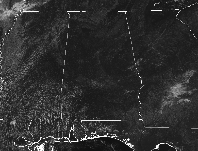
We have plenty of sunshine bearing down on Central Alabama with very little in the way of clouds to help cool any one spot for a minute or two from this unseasonal heat. Temperatures are in the mid-80s to the lower 90s across the area. Birmingham was at 89 degrees. The hot spot was Troy at 91 degrees while the cool spot was Alabaster at 84 degrees.
MORE SUN AND MORE HEAT FOR THE REST OF TODAY
We’ll continue to have plenty of sunshine across Central Alabama for the remainder of the afternoon and into the early evening hours with very few cumulus clouds forming. Afternoon highs will top out in the lower to mid-90s. Skies will be mostly clear across much of the area tonight, but cloud cover will begin to increase across the western parts of the area during the overnight hours. Lows will be in the upper 60s to the lower 70s across the area.
COULD SOME OF US BE LUCKY ENOUGH TO SEE A SHOWER ON THURSDAY?
The answer to that question will be, “it is possible.” We’ll start off with mostly clear to partly cloudy skies, but clouds will be on the increase throughout the day. By the afternoon hours, we could see a small chance of a few isolated showers and thunderstorms over the northwestern parts of the area while the rest will remain dry. Afternoon highs will be in the mid-80s to the lower 90s. For Thursday night, those small isolated shower and thunderstorm chances will move over all of Central Alabama, which will be around 20%. Skies will be partly to mostly cloudy with lows in the mid-60s to the lower 70s.

RECORD HIGHS OVER THE PAST FEW DAYS
5/25 – Tuscaloosa 97 degrees (breaks old record of 95 set back in 1958)
5/26 – Montgomery 97 degrees (ties old record of 97 set back in 1916)
5/26 – Muscle Shoals 98 degrees (breaks old record of 97 set back in 1902)
5/26 – Tuscaloosa 98 degrees (breaks old record of 95 set back in 2012)
5/27 – Muscle Shoals 97 degrees (ties old record of 97 set back in 2012)
BEACH FORECAST CENTER
For the Alabama Gulf Coast from today through Tuesday, June 4th… There will be plenty of sunshine with the only small rain chances occurring on Thursday and Friday. Highs will be in the upper 80s to the lower 90s. Looks like the yellow flags will be flying as the Rip Index will be in the Moderate Risk range. Get the latest weather and rip current forecasts for the beaches from Fort Morgan to Panama City on our Beach Forecast Center page. There, you can select the forecast of the region that you are interested in.
ALREADY OFF TO A HOT START IN 2019! ADVERTISE WITH THE BLOG!
We have enjoyed over 10 MILLION page views on AlabamaWx.com so far in 2019! Don’t miss out! We can customize a creative, flexible and affordable package that will suit your organization’s needs. Contact Bill Murray at (205) 687-0782.
E-FORECAST
Get the Alabama Wx Weather Blog’s Seven-Day Forecast delivered directly to your inbox by email twice daily. It is the most detailed weather forecast available in Central Alabama. Subscribe here… It’s free!
CONNECT WITH THE BLOG ON SOCIAL MEDIA
You can find the AlabamaWx Weather Blog on the major social media networks:
Facebook
Twitter
Instagram
WEATHERBRAINS
Don’t forget you can listen to our weekly 90 minute netcast anytime on the web at WeatherBrains.com or on iTunes, Stitcher, or Spotify. This is the show all about weather featuring many familiar voices, including the meteorologists at ABC 33/40.
ON THIS DAY IN WEATHER HISTORY
1953 – A tornado, 600 yards wide at times, killed two persons on its 20 mile path from southwest of Fort Rice ND into Emmons County. Nearly every building in Fort Rice was damaged. The Catholic church was leveled, with some pews jammed four feet into the ground.
Category: Alabama's Weather, ALL POSTS
About the Author (Author Profile)
Scott Martin is an operational meteorologist, professional graphic artist, musician, husband, and father. Not only is Scott a member of the National Weather Association, but he is also the Central Alabama Chapter of the NWA president. Scott is also the co-founder of Racecast Weather, which provides forecasts for many racing series across the USA. He also supplies forecasts for the BassMaster Elite Series events including the BassMaster Classic.Subscribe
If you enjoyed this article, subscribe to receive more just like it.


