Starting To See Some Spotty Showers Out There At Midday
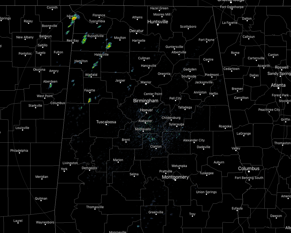
At 12:00 pm, we do have a few showers popping up over the northwestern parts of Central Alabama and up into the western parts of North Alabama. These are slowly moving to the east-northeast. The rest of Central Alabama is enjoying mainly clear skies. Temperatures are currently in the 80 across much of the area with a couple of 90-degree readings showing for Uniontown and Selma. Tuscaloosa was at 91 degrees at the warm spot, while Haleyville was the cool spot at 81 degrees. Birmingham was at 88 degrees.
A FEW ISOLATED TO SCATTERED SHOWERS & STORMS POSSIBLE THROUGH TONIGHT
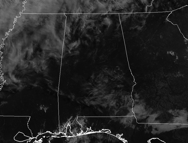
We have a good bit of sunshine across Central Alabama but those clouds back to the west will eventually move into the area during the afternoon and evening hours. With those clouds, we could see a small risk of a few isolated to scattered showers and thunderstorms across Central Alabama, with the overall rain chance being around 20% for any one location. Afternoon highs will be in the mid-80s to the lower 90s across the area. Those small shower and thunderstorm chances will continue during the late night and overnight hours as skies will remain partly to mostly cloudy. Lows will be in the mid-60s to the lower 70s.
BACK TO DRY BUT REMAINING COOLER ON FRIDAY FOR MOST
Friday will start off with partly to mostly cloudy skies across the area with a very small chance of a stray shower or thunderstorm in the extreme southeastern parts of the area, but any rain will move out and skies will be clearing throughout the day. Afternoon highs will be in the mid-80s to the lower 90s across the area from north to south.
BEACH FORECAST CENTER
For the Alabama Gulf Coast from today through Wednesday, June 5th… There will be plenty of sunshine with the only small rain chances occurring on Thursday and Friday. Highs will be in the upper 80s to the lower 90s. Looks like the yellow flags will be flying as the Rip Index will be in the Moderate Risk range. Get the latest weather and rip current forecasts for the beaches from Fort Morgan to Panama City on our Beach Forecast Center page. There, you can select the forecast of the region that you are interested in.
ALREADY OFF TO A HOT START IN 2019! ADVERTISE WITH THE BLOG!
We have enjoyed over 10 MILLION page views on AlabamaWx.com so far in 2019! Don’t miss out! We can customize a creative, flexible and affordable package that will suit your organization’s needs. Contact Bill Murray at (205) 687-0782.
E-FORECAST
Get the Alabama Wx Weather Blog’s Seven-Day Forecast delivered directly to your inbox by email twice daily. It is the most detailed weather forecast available in Central Alabama. Subscribe here… It’s free!
CONNECT WITH THE BLOG ON SOCIAL MEDIA
You can find the AlabamaWx Weather Blog on the major social media networks:
Facebook
Twitter
Instagram
WEATHERBRAINS
Don’t forget you can listen to our weekly 90 minute netcast anytime on the web at WeatherBrains.com or on iTunes, Stitcher, or Spotify. This is the show all about weather featuring many familiar voices, including the meteorologists at ABC 33/40.
ON THIS DAY IN WEATHER HISTORY
1989 – Thunderstorms produced severe weather from the Upper Mississippi Valley to the Upper Ohio Valley during the day. A powerful (F-4) tornado injured three persons and caused a million dollars damage at New Providence, IA. Baseball size hail was reported at Blue Earth, MN.
Category: Alabama's Weather, ALL POSTS
About the Author (Author Profile)
Scott Martin is an operational meteorologist, professional graphic artist, musician, husband, and father. Not only is Scott a member of the National Weather Association, but he is also the Central Alabama Chapter of the NWA president. Scott is also the co-founder of Racecast Weather, which provides forecasts for many racing series across the USA. He also supplies forecasts for the BassMaster Elite Series events including the BassMaster Classic.Subscribe
If you enjoyed this article, subscribe to receive more just like it.


