Isolated Strong Storms Today, Better Chances of Rain and Storms Monday
More thunderstorms developed on Saturday across Alabama in a northwesterly flow pattern. Such patterns are famous for throwing storms at us in summer. There were a few dozen reports of wind damage, including trees down and some structural damage. There were even a few reports of hail. A carport fell on a family’s van just after they had pulled in it in Clay County. Fortunately, they were able to crawl to safety. Frightening.
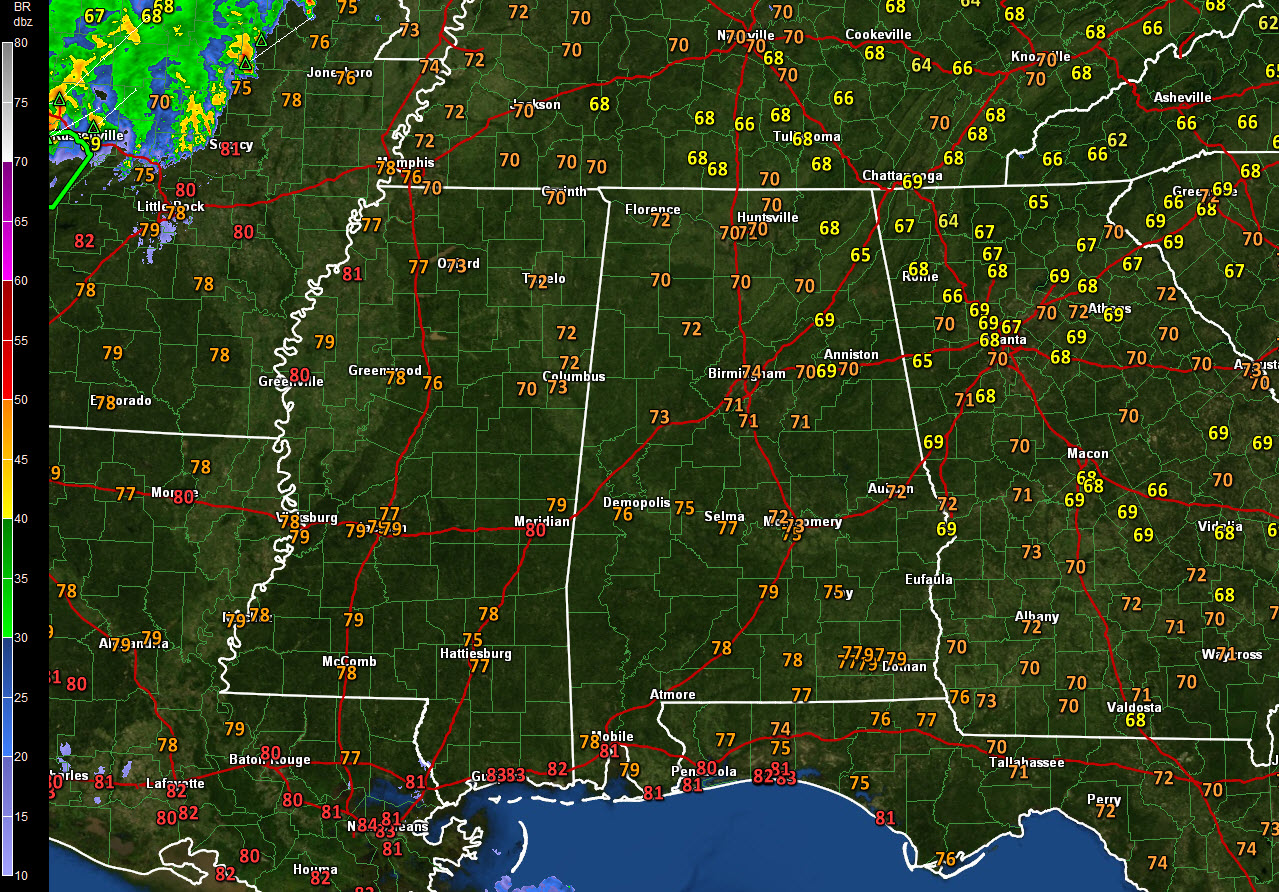
FEWER SHOWERS TODAY, BUT ISOLATED ONES COULD BE STRONG: After a couple of days of complexes of storms passing through, today should be mostly rain-free over Alabama. There will be a few isolated storms that form with the heating of the day, and those could be strong with wind, rain, and lightning. They could last into the evening hours. The SPC has the northeastern quarter of the area outlooked with a marginal risk (level 1 of 5) risk for severe storms today, generally northeast of a line from Millport to Birmingham to Eufaula. The mercury will respond to the lessened rain chances, rising well into the lower and middle 90s across the area. Heat index values will approach 100F with dewpoints in the lower 70s before afternoon mixing lowers them back into the upper 60s.
NEW WORK WEEK: An approaching cool front will try to increase rain chances across Alabama again starting late tonight into early Monday. It appears that a band of weakening band of rain and storms will sink into the northern and Central parts of the state Monday morning. Another more substantial band will move into the state during the day Monday, with more widespread rain and storms. The storms are not expected to be especially heavy, but perhaps we can pick up a little additional beneficial rain. The front will slowly sink into Central Alabama and stall, washing out by Wednesday. A building ridge of high pressure will lessen our rain chances, but with abundant moisture hanging around, isolated to widely scattered afternoon and evening thunderstorms will still occur. Moisture will surge back northward by Thursday and scattered thunderstorms, mainly during the afternoon and evenings, will be standard fare through the weekend. Highs will be around d90F all week, with lows near 70F.
VOODOO TERRITORY: It appears that the first few days of July will be wet, including the Fourth. We will have to wait and see.
RAINFALL AMOUNTS: 2-3 inches of rain looks likely across much of Central Alabama over the next two weeks, at least according to the GFS. This is good news as we enter the summer period when rain can be scarce.
TROPICS: The tropical Atlantic is quiet for now, with no tropical cyclone development expected over the next week. In fact, we don’t foresee any probably until mid-July when an uptick in the Madden-Julian Oscillation will occur. That cyclical pattern leads to an increase in thunderstorm
GULF COAST WEATHER: It will be a nice week of summertime weather along the beautiful beaches of Alabama and Northwest Florida. Isolated mainly afternoon and evening storms will be the story through midweek, followed by slightly elevated chances Thursday and beyond as that frontal system from the north encroaches on the coast. Expect highs in the lower 90s and lows in the upper 70s. The afternoon highs will back off a bit late in the week as rain chances rise. Water temperatures are running in the middle 80s. There is a high risk of rip currents today and Monday. Click here to see the Beach Forecast Center page.
WEATHERBRAINS: This week, the panel will entertain Author Andrew Blum, talking about his new book The Weather Machine. Check out the show at www.WeatherBrains.com. You can also subscribe on iTunes. You can watch the show live at live.bigbrainsmedia.com You will be able to see the show on the James Spann 24×7 weather channel on cable or directly over the air on the dot 2 feed.
ON THIS DATE IN 1972: Massive flooding was underway in parts of Pennsylvania, the result of a three-day deluge caused by the remnants of Hurricane Agnes. Several mid-Atlantic states were affected, but Pennsylvania ended up being the hardest hit state with $2.1 billion in damages and 48 deaths. The damage was so extreme; President Richard Nixon declared the entire state a disaster area. Agnes is retired from the Atlantic’s list of names. Follow my weather history tweets on Twitter. I am @wxhistorian at Twitter.com.
Category: Alabama's Weather, ALL POSTS
About the Author (Author Profile)
Bill Murray is the President of The Weather Factory. He is the site's official weather historian and a weekend forecaster. He also anchors the site's severe weather coverage. Bill Murray is the proud holder of National Weather Association Digital Seal #0001 @wxhistorianSubscribe
If you enjoyed this article, subscribe to receive more just like it.


