More Showers and Storms Today and Monday
Parts of Central Alabama are waking up to the pitter-patter of raindrops on this Sunday morning, including here at my house. 4.21 inches of rain on Friday afternoon from a huge thunderstorm that caused flooding across southern Jefferson County, including here at my house near Acton Road and I-459. After two months of nearly no rain, the 4.37 inches was a bit much. More rain is on the way as we head toward the change of seasons once again.
RAIN ON THE RADAR: Here at the early hour of 6 a.m., showers cover much of Shelby, extending into southern Jefferson County, about to move into Talladega County. A few scattered showers are over East Central Alabama between Talladega, Valley and Columbus, GA.
CLOUDS/RAIN TODAY: The presence of an upper-level trough to the west of Alabama will keep things unsettled for the near future. Showers and storms should develop during the day across western sections of the state and move northeast during the afternoon and evening hours. Rain chances will be high, but not everyone will get heavy rain or even any rain at all. On average, amounts should run about an inch through the middle of the state, from Cullman to Jasper to Birmingham, with around one-half inch over western sections and a quarter-inch over eastern sections. Lightning will be involved for sure. You don’t have to look far for a reminder about lightning safety with six spectators being struck Saturday at the PGA Tournament in Atlanta. The clouds and showers today will limit high temperatures to the middle 80s across Central Alabama, with lower 80s to near 80F over the North. Lows tomorrow morning will range from 68-70F.
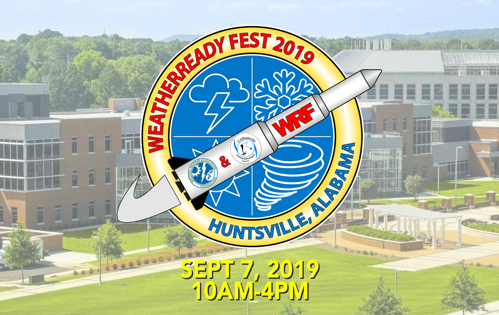
WEATHERREADY FEST: A FREE, FUN WEATHER PREPAREDNESS & SAFETY FESTIVAL FOR THE WHOLE FAMILY: WeatherReady Fest is coming to Huntsville on September 7, 2019, from 10:00 am to 4:00 pm. Family-friendly games, fun learning activities, large response vehicles, and enlightening speakers will highlight this big, one-day weather festival on the campus of the University of Alabama in Huntsville. Special guests include The Weather Channel’s Nick Walker, ABC 33/40’s Chief Meteorologist James Spann, and Owlie Skywarn. Each visitor will receive their very own passport booklet. Collect stamps from exhibitor for your chance to win door prizes. Tours of UAH’s SWIRLL and the NWS Huntsville office will be available as well. Get your free timed tickets quickly as they will not last long. More information and a link to the ticket site is available on the festival website at www.weatherreadyfest.com. The tickets are free and are issued for specific hours to maximize the number of people that can visit. I hope to see you there!
MOVING TO MONDAY: The trough edges closer tomorrow, with its axis centered over the ArkLaMiss, just to our west. Showers and storms should once again be plentiful. Early polling shows that the activity might set up as a couple of rounds of showers and storms, one in the morning, with another swinging through in the afternoon, making for a pretty wet day all in all. Temperatures profiles should run about the same. Rainfall amounts should be fairly generous and widespread, around 1-1.5 inches.
TUESDAY: The first trough lifts out Monday night, but a second larger trough quickly begins to take its place, and this one has the moxie to push a cold front all the way through the area. Rain chances will be high again on Tuesday especially over northwestern sections early and then later in the day into the overnight across Central Alabama.
WEDNESDAY: The front will work its way through, settling into South Alabama by midweek. Wednesday will feature a few shower sand storms, with highs in the upper 80s.
TIME FOR A COOL CHANGE: Well, maybe not cool, but the Little River Band song from the 70s comes to mind when I start thinking about lows across North and Central Alabama Thursday morning. We will probably see a few reports in the 50s by Thursday morning.
LABOR DAY WEEKEND: Partly cloudy, warm and generally dry weather is expected Friday through Monday. Dewpoints will creep back up by the weekend, so you will notice the humidity again, but what’s Labor Day without humidity, right? Highs will be in the upper 80s, right about where you would expect them for this time of year. Lows will be in the middle and upper 60s. Not bad.
GULF COAST WEATHER: Showers and storms are likely Monday and Tuesday, decreasing on Wednesday, and then setting the stage for a fabulous Labor Day weekend. There won’t be a much better time to be at the beach than this coming weekend, with sunny conditions, about 8-10 hours of sunshine each day, and only a small risk of rain or rip tides. Waves will be running generally less than 1-2 feet next weekend.
Click here to see the Beach Forecast Center page.
TROPICS: We continue to track a trough of low pressure near the Florida coast. It is still likely that a tropical depression will form in this system as it turns and moves offshore of the Southeast U.S. over the next couple of days. The primary impact of the system will be rough surf and rip currents along parts of the Carolina coasts over the next couple of days.
DORIAN: Tropical Storm Dorian formed Saturday east of the Lesser Antilles. It is expected to be near hurricane strength when it approaches the Windward Island Monday night. A tropical storm watch has been issued for Barbados and additional watches and warnings will be needed for parts of the Windward as well as the Leeward Islands later today. The system will emerge into the eastern Caribbean on Tuesday and could pose a threat to Puerto Rico and Hispaniola on Wednesday and Thursday, but it is not for certain the storm will hold together in the Caribbean. Hopefully, it will weaken into an open wave.
SIDEWALKL Today is the final day of Birmingham’s World Class Film Festival. Downtown is active with thousands of movie goers at venues like the Lyric, the Alabama, the ASFA, the Art Museum, and the new Sidewalk Film Center in the Pizitz. Come laugh, dry, and lean as the best lineup of films yet in the event’s history rolls on.
WEATHERBRAINS: This week, the panel will be talking about mobile home safety in tornadoes. Check out the show at www.WeatherBrains.com. You can also subscribe on iTunes. You can watch the show live at live.bigbrainsmedia.com You will be able to see the show on the James Spann 24×7 weather channel on cable or directly over the air on the dot 2 feed.
ON THIS DATE IN 1635: The Great Colonial Hurricane is the first recorded hurricane to have hit New England. The intense storm was well documented in the journals of William Bradford and John Winthrop. Tides reached 20 feet in Boston Harbor. Follow my weather history tweets on Twitter. I am @wxhistorian at Twitter.com.
Category: Alabama's Weather, ALL POSTS
About the Author (Author Profile)
Bill Murray is the President of The Weather Factory. He is the site's official weather historian and a weekend forecaster. He also anchors the site's severe weather coverage. Bill Murray is the proud holder of National Weather Association Digital Seal #0001 @wxhistorianSubscribe
If you enjoyed this article, subscribe to receive more just like it.


