Dorian Continues to Organize and Intensify: Top Winds 85 mph
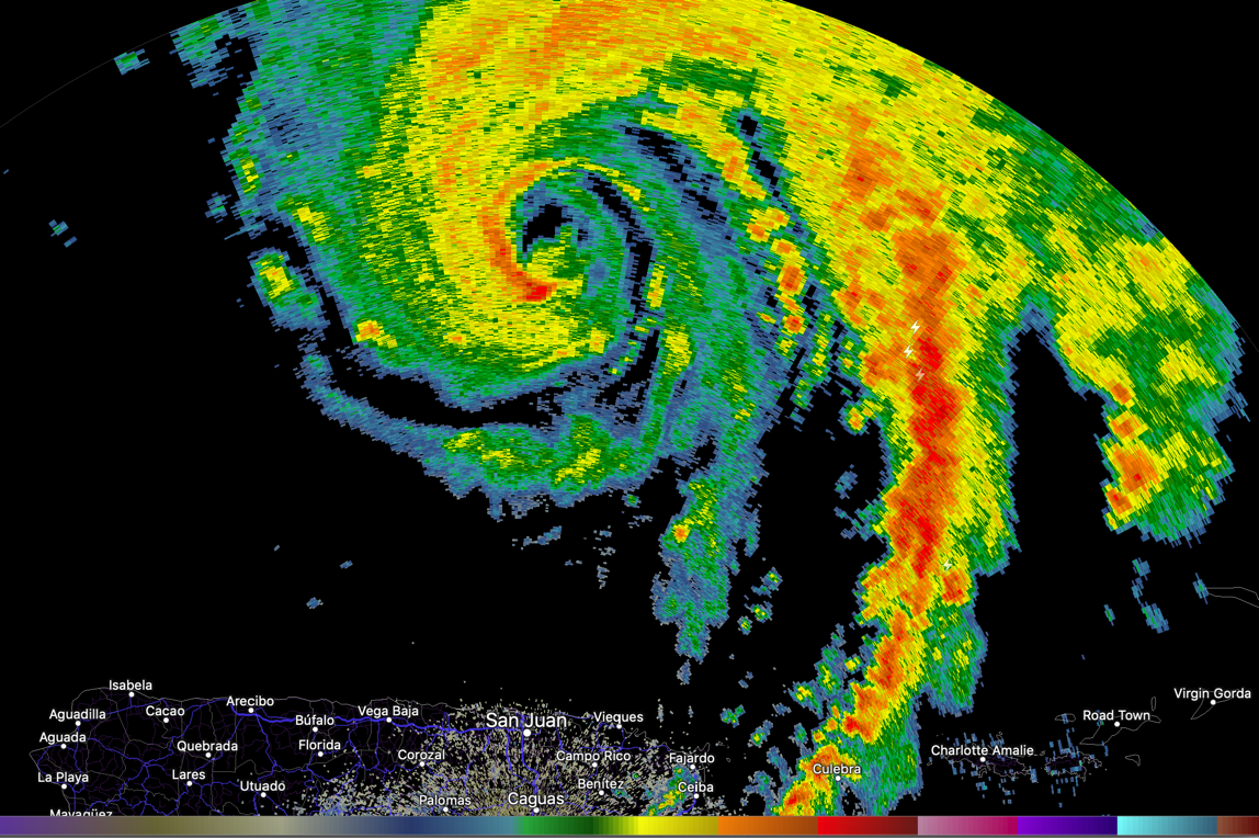
Dorian from the San Juan Radar tonight
Hurricane Dorian continues to become better organized and stronger tonight. Here are the latest facts from the 10 p.m. advisory:
SUMMARY OF 1100 PM AST…0300 UTC…INFORMATION
———————————————–
LOCATION…19.7N 66.0W
ABOUT 90 MI…145 KM N OF SAN JUAN PUERTO RICO
MAXIMUM SUSTAINED WINDS…85 MPH…140 KM/H
PRESENT MOVEMENT…NW OR 320 DEGREES AT 13 MPH…20 KM/H
MINIMUM CENTRAL PRESSURE…986 MB…29.12 INCHES
Dorian will become a major hurricane in the next couple of days. The center will threaten the Southeast U.S. coast somewhere between Savannah GA and the Florida Keys. Tropical Storm force winds could arrive on the coast as early as Saturday night.
It is too early to be specific about the impact that Dorian will have on Central and North Alabama’s weather, or the weather along the beautiful beaches of Alabama and Northwest Florida.
Suffice to say, residents and visitors all over the Southeast will have to remain on alert and monitor the latest information on Dorian.
About the Author (Author Profile)
Bill Murray is the President of The Weather Factory. He is the site's official weather historian and a weekend forecaster. He also anchors the site's severe weather coverage. Bill Murray is the proud holder of National Weather Association Digital Seal #0001 @wxhistorianSubscribe
If you enjoyed this article, subscribe to receive more just like it.


