10:00 AM Update On PTC-9, Forecast To Become A Depression Or Storm Later Today
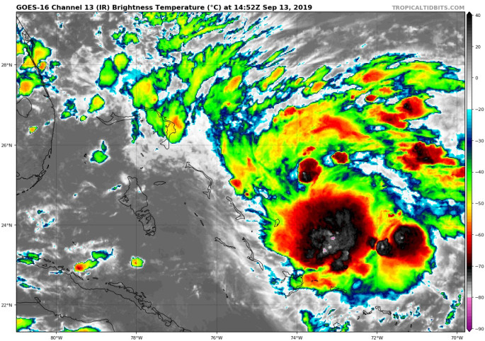
Potential Tropical Depression Nine is forecast to become a tropical depression or tropical storm later today. Current conditions at 10:00 am show the minimum pressure at 1009 MB and maximum sustained winds at 30 MPH. The center is located around 280 miles to the east-southeast of Freeport, Grand Bahama Island, and current movement is to the northwest at 1 MPH.
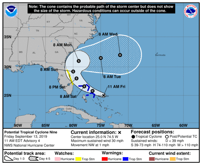
A Tropical Storm Warning is in effect for Northwestern Bahamas excluding Andros Island. A Tropical Storm Watch is in effect for Jupiter Inlet to Flagler-Volusia County line.
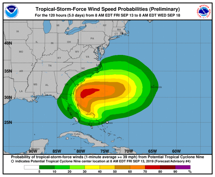
Tropical storm conditions are expected within the warning area in the northwestern Bahamas later today. Tropical storm conditions are possible in the watch area on the Florida peninsula by Saturday or Saturday night.
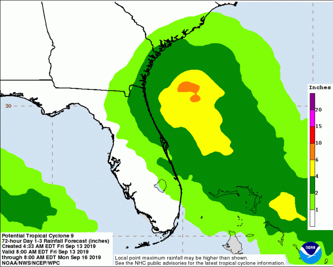
The potential tropical cyclone is expected to produce total rainfall accumulations through Sunday:
* The Bahamas: 2 to 4 inches, isolated maximum amounts 6 inches.
* The U.S. Southeast Coast from central Florida into South Carolina: 2 to 4 inches.
This system is not expected to produce significant storm surge in the northwestern Bahamas.
With this current forecast track from the National Hurricane Center, Central Alabama will see hardly any impact with the exception of winds coming out of the north for a day or two. Looks like it will be no help in the rain department or to stopping the blast furnace at this point.
Category: Alabama's Weather, ALL POSTS
About the Author (Author Profile)
Scott Martin is an operational meteorologist, professional graphic artist, musician, husband, and father. Not only is Scott a member of the National Weather Association, but he is also the Central Alabama Chapter of the NWA president. Scott is also the co-founder of Racecast Weather, which provides forecasts for many racing series across the USA. He also supplies forecasts for the BassMaster Elite Series events including the BassMaster Classic.Subscribe
If you enjoyed this article, subscribe to receive more just like it.


