Cool with a Few Showers Today; Rain Likely Tuesday
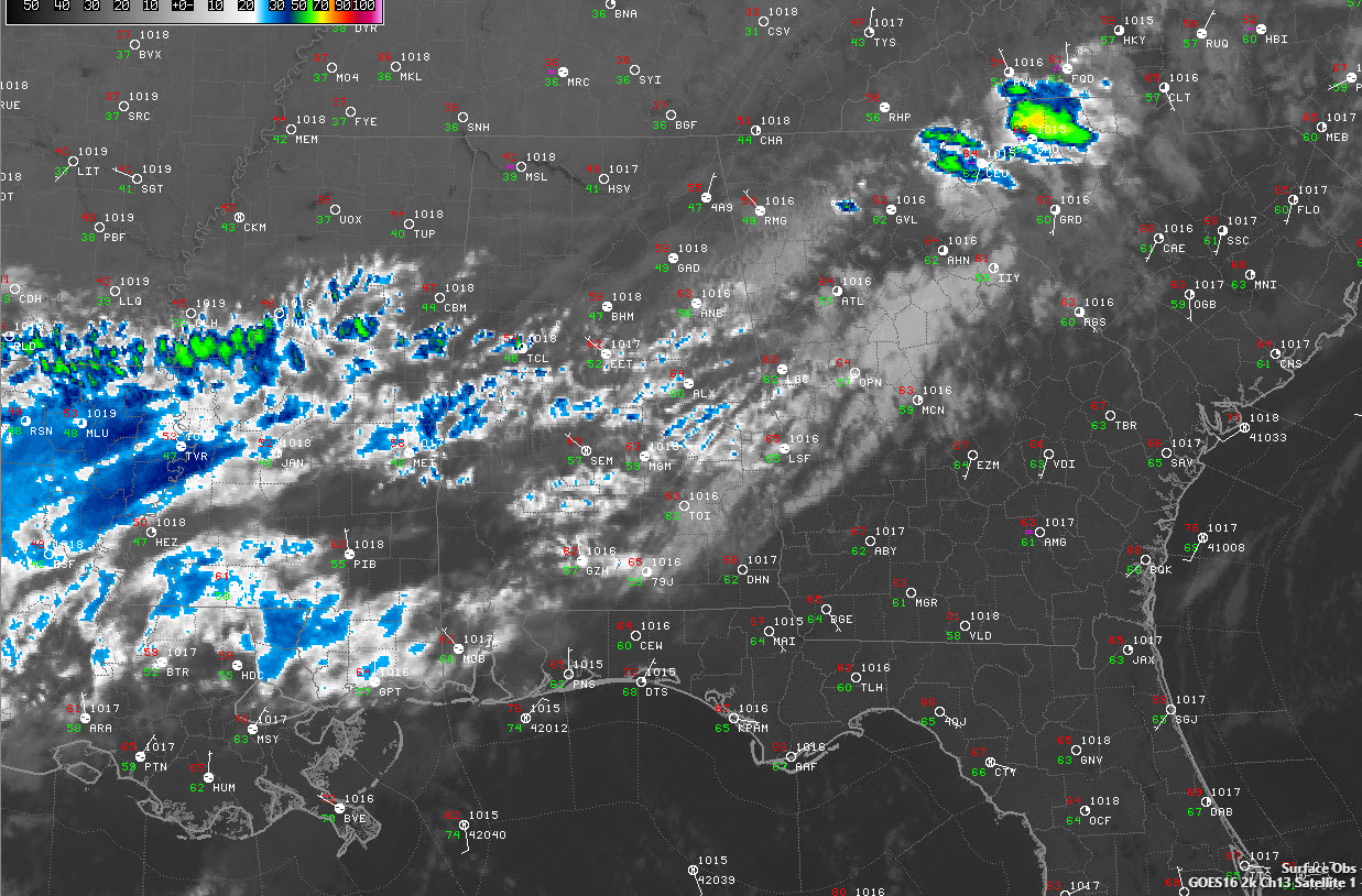
It is a partly cloudy and cool morning across Alabama, with a mix of low clouds and some high clouds moving quickly across the sky from the west. Those rapidly moving clouds are indicative of quite a different atmosphere than a week ago across Alabama. Temperatures are in the upper 30s across the Tennessee Valley, with middle 40s across North Central Alabama, and 50s to the south, where clouds have acted more like a blanket overnight. A little fog has formed in places that cleared overnight, like Muscle Shoals in Northwest Alabama.
FOR YOUR RACE DAY SUNDAY: Skies will be mostly cloudy to occasionally cloudy today with showers developing this morning southeast of I-59 from Selma to Alex City to Ranburne. There could be a little light rain at the track in Talladega, but it will be mainly just a nuisance. Temperatures will warm to near 70 over the northern half of the state, including Tuscaloosa, Birmingham, and Anniston. Additional showers will form by late morning over North Central Alabama and will become more widespread along and north of I-20 through the afternoon. Talladega may deal with periods of rain during the scheduled race time and there may be delays. The good news is, if the race has to be finished on Monday, the weather should be good. Highs will be perfect, in the upper 70s with fair to partly cloudy skies.
BENEFICIAL RAINS AHEAD: As a strong upper-level trough and associated low-pressure system forms over the Midwest on Tuesday, widespread showers and storms are expected to form near a stationary front that will be lying across Alabama. Rain will be likely much of the day and night, into early Tuesday, with 1-2 inch amounts common. Highs on Tuesday will be in the 60s over North Central Alabama, around 70F in the I-20 corridor and in the upper 70s in places like Troy and Montgomery. By Wednesday morning, the rain should be moving out with clearing skies during the day. Highs will look a lot like Tuesday’s.
SEVERE WEATHER? Can’t rule out some strong storms Tuesday as instability values south of the front go above 500 joules/kg with some decent wind shear. We will be watching. The SPC doesn’t think much of the situation yet.
WORKING FOR THE WEEKEND: High pressure will be in firm control of Alabama’s weather by Thursday, but we will be keeping an eye on the Gulf of Mexico, where a disturbance over the Bay of Campeche could trigger a tropical depression or storm. The consensus has been that any system would go into Mexico, but enough indications have been there to signal that it might come back north across the Gulf as a trough develops and a frontal system moves toward Alabama by ate n the weekend. It looks like we could be in for another general rain in that Sunday-Tuesday time frame. We will have to wait and see if this materializes.
TROPICS: Melissa made tropical storm status late yesterday, but it weakening and accelerating out to the northeast this morning over the open waters of the North Atlantic southeast of Nova Scotia. The NHC is watching two potential areas of development: one over the northwestern Caribbean that could get into the Gulf, and one over the far eastern Atlantic near the Cape Verde Islands.
GULF COAST WEATHER: A little rain has crept into the weather forecast along the beautiful beaches of Alabama and Northwest Florida for the coming week, but as I always say, a rainy day at the beach beats an ordinary day just about anyplace else. The best rain chances will come Monday afternoon through Wednesday, with the most rain expected early Wednesday ahead of the second front. Temperatures will be quite nice, in the lower 80s for daytime highs and 70s for lows through Wednesday before trimming back into the 60s for the rest of the week. Water temperatures are running around 81 degrees. The rip current risk will be moderate today but low into midweek with seas running 1-2 feet.
Click here to see the Beach Forecast Center page.
NATIONAL HIGHLIGHTS: Frost advisories cover areas from western Tennessee and eastern Arkansas to southern New York this morning. There are still coastal flood advisories in the Chesa[eake region and wind and surf advisories in parts of New England due to Melissa.
DANCING WITH THE STATS: The temperature at Denver plunged from 83F to 19F in just 18 hours on Thursday, the largest temperature drop ever observed in the state in the month of October. It was the 15th largest drop in state history.
WEATHERBRAINS: This week, the panel will entertain Weatherwise Magazine columnist Dr. Jeff Halverson. We will recount some of the stories he has covered during his time. Check out the show at www.WeatherBrains.com. You can also subscribe on iTunes. You can watch the show live at live.bigbrainsmedia.com You will be able to see the show on the James Spann 24×7 weather channel on cable or directly over the air on the dot 2 feed.
ON THIS DATE IN 1966: Iowa was struck by a devastating late season tornado outbreak. A total of 12 tornadoes touched down, including an F4 that devastated a large part of Belmond Iowa. It was the day of the homecoming parade in the town, but fortunately, the threatening skies had caused the crowds to break up before the twister’s arrival. 6 people died in this tornado. 75 of the 112 businesses in the town were destroyed. Damage totaled $12 million. Follow my weather history tweets on Twitter. I am @wxhistorian at Twitter.com.
Category: Alabama's Weather, ALL POSTS
About the Author (Author Profile)
Bill Murray is the President of The Weather Factory. He is the site's official weather historian and a weekend forecaster. He also anchors the site's severe weather coverage. Bill Murray is the proud holder of National Weather Association Digital Seal #0001 @wxhistorianSubscribe
If you enjoyed this article, subscribe to receive more just like it.


