A Very Nice Midday Across Central Alabama; Rain Returns Tomorrow
A DECENT THURSDAY ACROSS CENTRAL ALABAMA
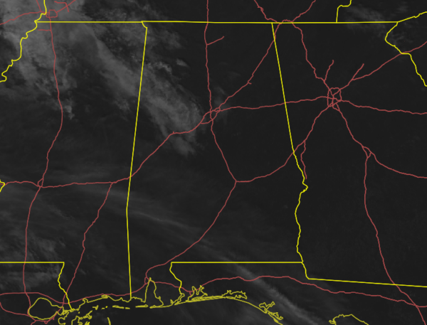
At 12:00 pm, we have some clouds moving across the northwestern parts of the area with some very thin high clouds over the southern parts of the state. Clouds will continue to roll into the area throughout the remainder of the day and into the night time hours. After midnight tonight, we could see a stray shower or two over the western parts of Central Alabama with the higher chances closest to the AL/MS state line. Temperatures at this time were in the mid-50s to the lower 60s across the area and should rise a few degrees into the mid to upper 60s for most. Those rain chances for after midnight will be around 20-30% west of a line from Jasper to Tuscaloosa to Demopolis. Lows will be in the lower to mid-40s.
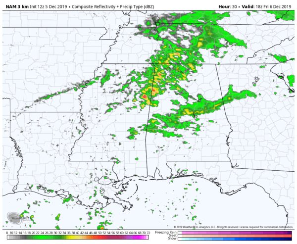
Hi-Res NAM valid at 12:00 pm Friday.
RAIN TO END THE WORK WEEK
Showers look to become likely on Friday as a system will be moving in from the west. Showers look to move into the western parts of the area around the morning rush hour and progressing eastward. By noon, a good bit of Central Alabama will have rain with some locations possibly hearing a clap or two of thunder. There will be no instability involved at all at the surface, so no severe weather is expected. Activity is expected to greatly diminish, but a few lingering showers may persist through the evening and into the overnight hours especially along and south of the I-59/20 corridor. Afternoon highs will be in the lower 50s to the mid-60s across the area from northwest to southeast, while lows only fall into the lower 40s to the lower 50s. Rainfall amounts through the end of Friday will be around a tenth of an inch for the extreme southeastern parts of the area to around one-half inch for the western parts. We’re looking right at one-quarter inch for Birmingham.
JUST FOR YOUR INFORMATION
The warmest official reporting stations across Central Alabama on Wednesday were Montgomery and Demopolis coming in at 65 degrees. Haleyville had the coolest high temperature on Wednesday at 60 degrees. Only one reporting station had an early morning low that dipped into the 20s on Wednesday morning, and that was Anniston at 29 degrees.
Category: Alabama's Weather, ALL POSTS
About the Author (Author Profile)
Scott Martin is an operational meteorologist, professional graphic artist, musician, husband, and father. Not only is Scott a member of the National Weather Association, but he is also the Central Alabama Chapter of the NWA president. Scott is also the co-founder of Racecast Weather, which provides forecasts for many racing series across the USA. He also supplies forecasts for the BassMaster Elite Series events including the BassMaster Classic.Subscribe
If you enjoyed this article, subscribe to receive more just like it.


