Eyeing Wintry Precip Possibilities for Late Tuesday Night, Early Wednesday
We continue to keep an eye on the posisbility of wintry precipitation for late Tuesday night and early Wednesday morning across North Alabama.
A strong cold front will reach the Northwest Corner of the state during the predawn hours Tuesday, reaching the I-59 corridor around 8 a.m. and the I-85 corridor around 3 p.m.
Temperatures will fall quickly into the 30s Tuesday evening in areas north of I-59 and drop below freezing as far south as areas from Lamar through Fayette, Walker, Blount, Marshall, and DeKalb Counties before sunrise Wednesday.
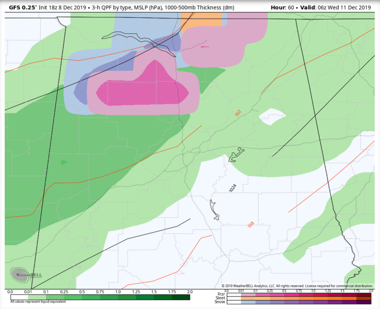
Precipitation should be ending from the northwest at the same time, but there could be a brief changeover to a wintry mix in the aforementioned counties back into the Tennessee Valley on the back edge for a couple of hours.
Sleet, freezing rain, and some snow are all possible, but no impacts are expected.
We will continue to monitor the situation carefully between now and then, so stay tuned!
Category: Alabama's Weather, ALL POSTS
About the Author (Author Profile)
Bill Murray is the President of The Weather Factory. He is the site's official weather historian and a weekend forecaster. He also anchors the site's severe weather coverage. Bill Murray is the proud holder of National Weather Association Digital Seal #0001 @wxhistorianSubscribe
If you enjoyed this article, subscribe to receive more just like it.


