Sunday Afternoon Update: Sunshine Today, Showers Tomorrow Night, Strong to Severe Storms Friday and/or Saturday
The afternoon forecast package has been updated and everything is on track.
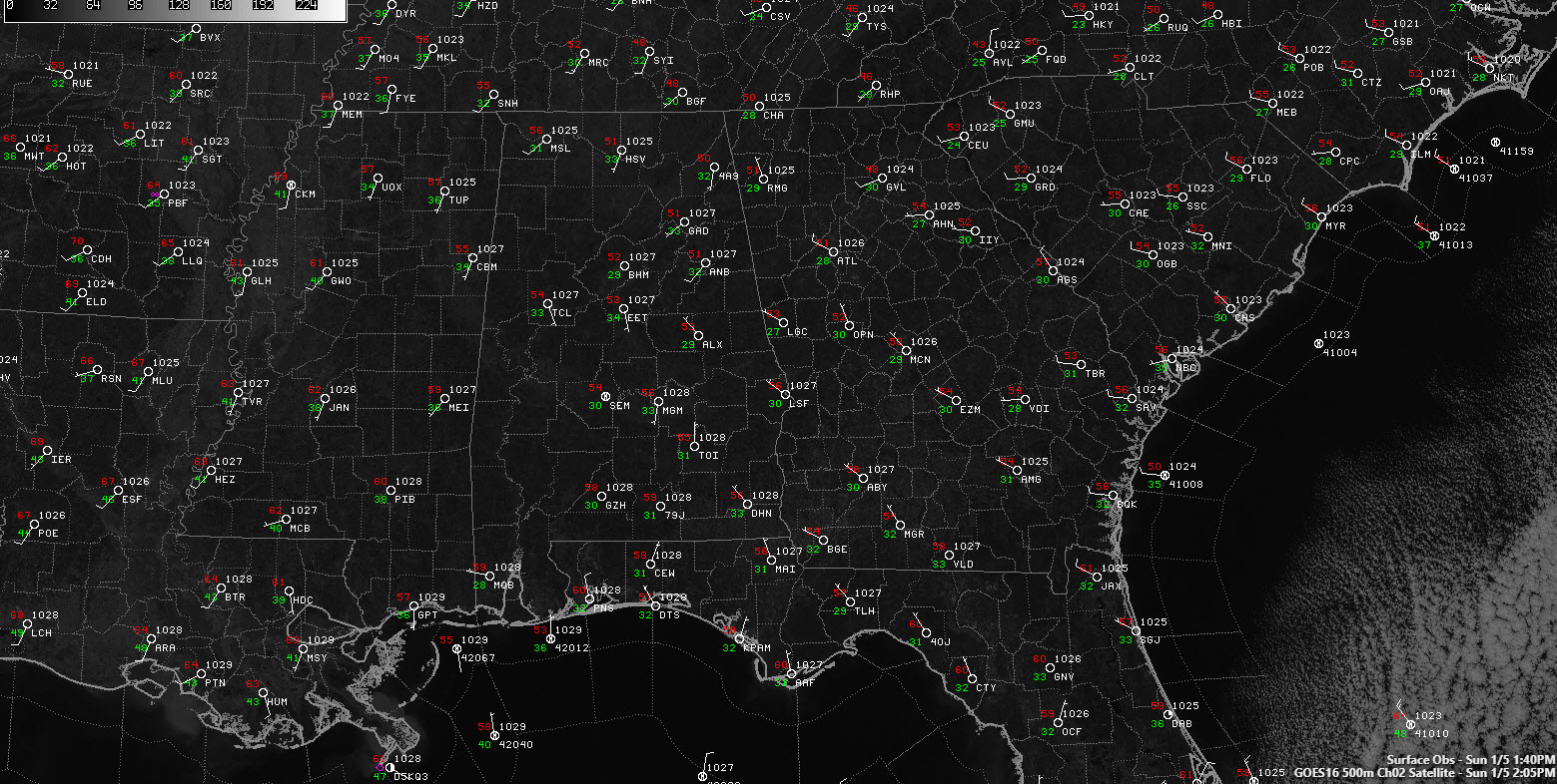
There is nary a cloud in sight across the nine states of the Deep South this first Sunday of 2020. Temperatures across Alabama are working up into the 50s now, heading toward highs in the lower and middle 50s across the northern half of the state. We will start to see a few clouds tonight, with lows dropping into the middle and upper 30s overnight.
A trough over the Upper Midwest that will be passing through the Great Lake, will push a cold front through Alabama early Tuesday. Ahead of it, a few showers will push through the northern half of the state late Monday night, mainly after midnight. Rainfall amounts will be light.
The front won’t usher in any really colder air, with lower and middle 50s on Tuesday to follow Monday’s highs near 60F. Skies should clear by noon as well. Lows Tuesday night will flirt with freezing. Wednesday looks like a nice day with highs in the upper 50s. A warm-up will begin on Thursday, with highs in the middle 60s as high pressure slides east and return from off the Gulf off of Mexico begins.
There is still a great deal of uncertainty about the next big weather system that will affect Alabama. The models are about 18 hours apart with their timing and different in their handling of the surface low, which is critical to the severe weather threat. But there is enough confidence for the NWS Birmingham to include a severe weather threat for Saturday and for the SPC to issue a rare day 7 severe weather outlook for Alabama for Saturday.
Details are still to be worked out, but it appears that a surface low will track east or northeast across the Deep South Friday night into Saturday. A large warm sector will develop ahead of the low and could potentially feature enough instability to support severe thunderstorms when combined with the substantial wind shear that is expected with a strong jet in the vicinity. It is too early to be specific about the threats or timing, but we will be watching everything carefully over the next few days.
Category: Alabama's Weather, ALL POSTS
About the Author (Author Profile)
Bill Murray is the President of The Weather Factory. He is the site's official weather historian and a weekend forecaster. He also anchors the site's severe weather coverage. Bill Murray is the proud holder of National Weather Association Digital Seal #0001 @wxhistorianSubscribe
If you enjoyed this article, subscribe to receive more just like it.


