

Quiet At Midday; Rain & Storms Expected Tonight
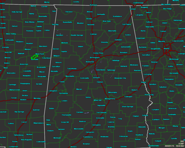
As of 12:04 pm, we are actually clear of any rainfall on the radar, but more rain and thunderstorms are expected to form and move across North/Central Alabama during the evening and overnight hours. Temperatures as of the noon roundup were in the mid-60s to the lower 70s across the area. Birmingham was at 67 degrees. The warm spot was Montgomery at 72 degrees. Several locations were tied at 64 degrees as the cool spots.
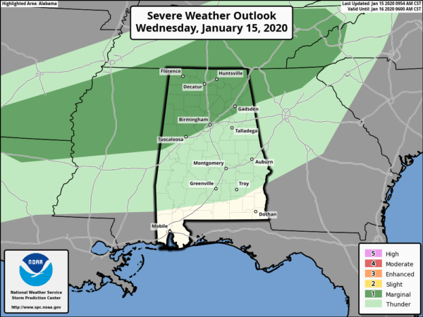
All of North Alabama and all of Central Alabama along and north of the I-59/20 and I-59 corridors are in a Marginal Risk for severe storms for this evening through the overnight hours. Most of the activity will remain well below severe criteria as there is marginal surface-based instability even with stronger shear in place. There is the possibility that a couple of clusters of storms will develop enough intensity to have the potential of locally gusty to damaging winds and small hail.
Most will stay dry for much of the rest of the afternoon hours, but showers and thunderstorms are expected to redevelop along a cold front that will begin to move through the area from the north and northwest during the evening and overnight hours. A few of these storms may become strong to severe with isolated damaging wind gusts and some hail possible. Highs will be in the upper 60s to the lower 70s with overnight lows in the upper 40s to the lower 60s.
Some lingering showers will hang around during the morning hours on Thursday over the southern half of the area, but all rain should be out of here by noon. Skies will become partly to mostly cloudy and highs will top out in the mid-50s to the lower 70s from northwest to southeast.
Category: Alabama's Weather, ALL POSTS, Severe Weather
About the Author (Author Profile)
Scott Martin is an operational meteorologist, professional graphic artist, musician, husband, and father. Not only is Scott a member of the National Weather Association, but he is also the Central Alabama Chapter of the NWA president. Scott is also the co-founder of Racecast Weather, which provides forecasts for many racing series across the USA. He also supplies forecasts for the BassMaster Elite Series events including the BassMaster Classic.Subscribe
If you enjoyed this article, subscribe to receive more just like it.


