A Quick Check On Our Weather Just Before 6:00 PM
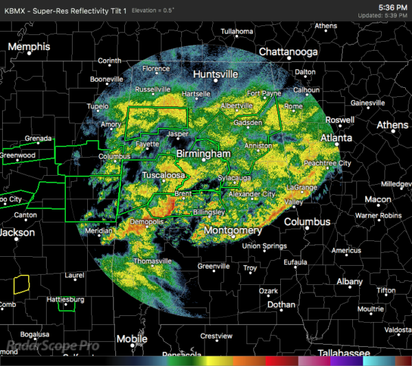
As of 5:36 pm, we continue to have light to moderate rainfall occurring over much of North/Central Alabama with the heaviest rain and thunderstorms occurring over the southwestern parts of the area. That line stretches from York to Demopolis to Greensboro to Brent. The general rain shield will eventually start to pull northward during the evening and overnight hours possibly aggravating the earlier flash flooding issues surrounding the I-20/59 and I-20 corridors.
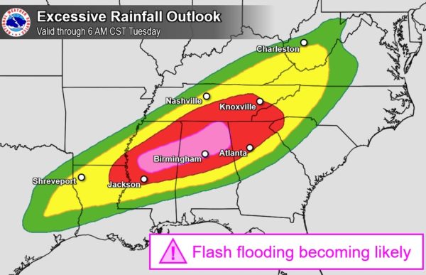
We’ll continue to have a high risk of flash flooding across much of North/Central Alabama throughout the rest of the evening, through the overnight, and into the morning hours on Thursday.
The good news is the severe threat has come to an end for the western parts of Central Alabama. None of the storms became strong across the area and no severe warnings were needed.
Another bit of good news is that the rain looks to really drop in coverage after sunrise on Thursday morning with the rainfall slacking back to light or moderate in intensity. We will continue to have showers move across the area but we may bet a lull in rain activity over most of the area from Tuesday evening through a good bit of the day on Wednesday until storms start to move in from the west after sunset.
No change in the severe weather outlook as a Slight Risk is up for much of North/Central Alabama from sunrise on Wednesday to sunrise on Thursday. An Enhanced Risk is up for a good chunk of the western third of the area. Damaging winds in excess of 60 MPH and a few tornadoes are possible across the area from 6:00 pm Wednesday evening to 6:00 am Thursday.
Much of the main action will be in the form of a squall line sweeping through the area, but if we get any decent amount of sunshine that possibly could destabilize the atmosphere a little bit more, we could see a few intense supercells form out ahead of the line. Flash flooding issues may also arise again as the system moves through.
Category: ALL POSTS
About the Author (Author Profile)
Scott Martin is an operational meteorologist, professional graphic artist, musician, husband, and father. Not only is Scott a member of the National Weather Association, but he is also the Central Alabama Chapter of the NWA president. Scott is also the co-founder of Racecast Weather, which provides forecasts for many racing series across the USA. He also supplies forecasts for the BassMaster Elite Series events including the BassMaster Classic.Subscribe
If you enjoyed this article, subscribe to receive more just like it.


