Quick Update at 10:45 a.m.: Departing Showers, Some Afternoon Clearing, Mild Monday
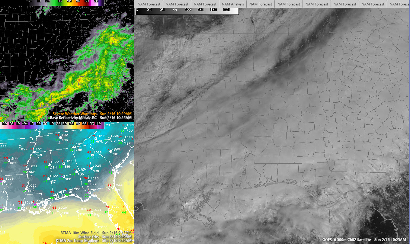
A passing upper-level disturbance had produced extensive clouds with a large area of light to moderate rain over mainly South Alabama. Expect some slow clearing this afternoon.
Temperatures are in the 40s and 50s as we approach lunchtime, heading toward afternoon readings between 55-57F.
With clearing skies tonight, there could be a little patchy fog. Lows will be in the 40s.
Monday will feature a mix of clouds and sun, and high temperatures will top out in the upper 60s, about 6-8 degrees above normal for mid-February in Central Alabama. Rain will return Monday night, with rain and thunder a good bet for Tuesday. But no severe weather and no flash flooding issues expected. Area streams, lakes, and rivers will continue to be high.
Wednesday will feature lingering rain behind a cold front, but another disturbance will bring yet another round of rain Thursday. There had been some thoughts that there might be a little wintry precipitation across northern sections on Thursday, but that doesn’t look likely for now.
Expect clearing conditions for Friday and the weekend.
Category: Alabama's Weather, ALL POSTS
About the Author (Author Profile)
Bill Murray is the President of The Weather Factory. He is the site's official weather historian and a weekend forecaster. He also anchors the site's severe weather coverage. Bill Murray is the proud holder of National Weather Association Digital Seal #0001 @wxhistorianSubscribe
If you enjoyed this article, subscribe to receive more just like it.


