Sunday Weather Xtreme Video: More Rain to Start the Week
Saturday was a gorgeous day across Alabama. High-level moisture started to show up late in the day, resulting in spectacular sun dogs for some, and a glorious sunset for others. That high-level moisture was a harbinger of things to come, namely more rain for our state, which most everyone doesn’t need.
FOR YOUR SUNDAY: Most everyone is starting off in the 30s this morning, with partly cloudy skies. Those skies will be getting cloudier as we go through the day, with mostly cloudy conditions by afternoon. High temperatures will settle in the middle and upper 50s across North and Central Alabama. A few showers will start appearing by this afternoon over the Tennessee Valley, which showers reaching into Central Alabama around sunset, but the main rain will hold off until later Sunday night.
RAINY DAYS AND MONDAYS: Rain will begin in earnest just before midnight tonight and waves of showers will begin that will continue for much of the day on Monday and Monday night, ending early Tuesday morning. Highs on Monday will be in the upper 50s to lower 60s, with lows limited to the 50s mostly Monday night.
TUESDAY INTO MIDWEEK: A trough or sorta front will push through the state Tuesday morning, but it will only serve to clear our skies a bit, allow more sunshine, and push readings into the 60s Tuesday night lows will drop back into the 40s and Wednesday will be cooler with highs in the 50s. A better shot of colder air arrives for Wednesday night, with lows dropping to near freezing. Thursday will remain stuck in the 40s.
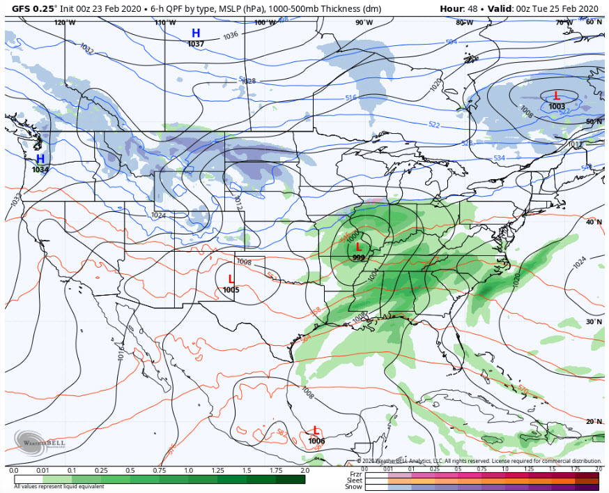
FLY IN THE OINTMENT: Upper-level lows are always a hassle, and this one threw us a curveball last evening. The latest runs of the GFS now shows some showers into Alabama late Tuesday night into Wednesday morning. With colder air moving in, there could be a little change over to snow for a brief time over the northern part of the state.
FRIDAY AND THE WEEKEND: A passing system will bring a chance of a few light showers, or get this, snow showers late Friday night and early Saturday morning. Shouldn’t cause any issues, but since when do we not get excited about even the mention of snow here in Alabama?
VOODOO TERRITORY: March will roll in rather quietly, but rain and storm chances will be around on the 4th and the 9th. They don’t look especially potent in the severe weather department, but you can’t underestimate spring storm systems in Alabama and the Deep South.
BEACHCAST: rain Monday and Tuesday along the beautiful beaches of Alabama and Northwest Florida, but the rest of the week looks pretty nice. Start to flirt with 70F from time to time along the coast, but a cooling trend will push highs down in to the 50s late in the week. Water temperatures are running 62F.
Click here to see the Beach Forecast Center page.
NATIONALLY: Winter weather advisories continue for today for pacts of Nevada, Utah, Colorado, Arizona, and New Mexico thanks to a system out west. Winter weather advisories and Winter storm warnings are in effect for the mountains of western Washington. High surf advisories are in effect along the Pacific coast. Flood watches are in effect for eastern Nebraska and southern Missouri, and countless flood warnings are in effect for rivers along the South.
DANCING WITH THE STATS: 74F in Modesto, California yesterday was a record for the date.
ADVERTISE WITH US: Deliver your message to a highly engaged audience by advertising on the AlabamaWX.com website. The site enjoyed 17.2 MILLION pageviews in the past 12 months. Don’t miss out! We can customize a creative, flexible and affordable package that will suit your organization’s needs. Contact me, Bill Murray, at (205) 687-0782 and let’s talk.
WEATHERBRAINS: This week, the panel will entertain a group from Trade Weather, a division of Cantor Fitzgerald that is treating the weather like the stock market. Learn how you can invest in a weather forecast. Check out the show at www.WeatherBrains.com. You can also subscribe on iTunes. You can watch the show live at live.bigbrainsmedia.com or on James’ YouTube Channel You will be able to see the show on the James Spann 24×7 weather channel on cable or directly over the air on the dot 2 feed.
ON THIS DATE IN 1975: An F4 tornado struck Tuscaloosa, killing a housekeeper at the Scottish Inn motel. It was the strongest and deadliest tornado in the state that year. Read more about it today on the blog. Follow my weather history tweets on Twitter. I am @wxhistorian at Twitter.com.
Category: Alabama's Weather, ALL POSTS
About the Author (Author Profile)
Bill Murray is the President of The Weather Factory. He is the site's official weather historian and a weekend forecaster. He also anchors the site's severe weather coverage. Bill Murray is the proud holder of National Weather Association Digital Seal #0001 @wxhistorianSubscribe
If you enjoyed this article, subscribe to receive more just like it.


