Radar Says Showers, But Most Not Reaching Ground…Yet
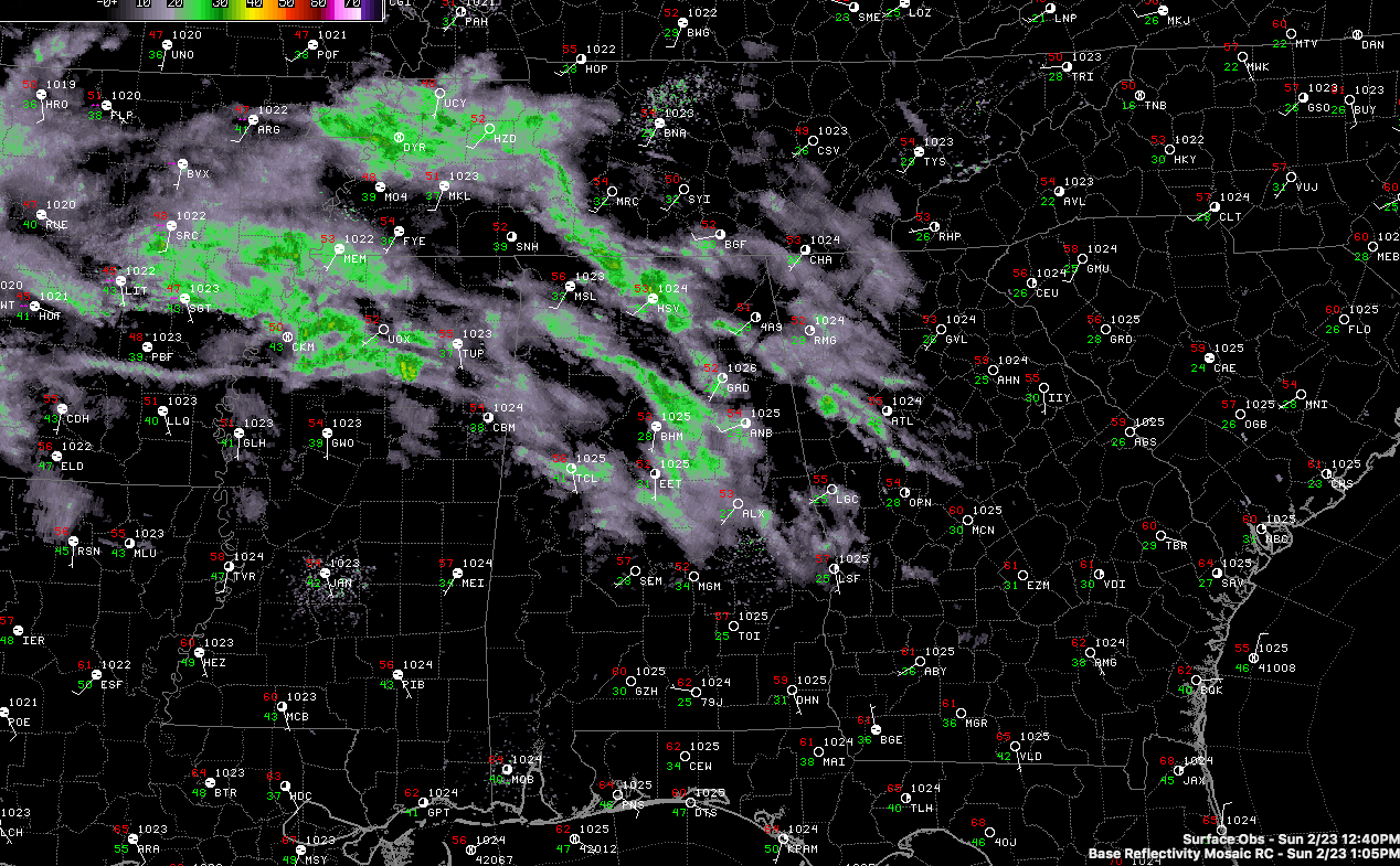
Regional radars across Arkansas, Tennessee, Mississippi, and Alabama look ominous this afternoon with lows of returns indicating showers. But they are having a hard time reaching the ground, given all the dry air that is present over the state.
Not many reports of any precipitation falling across the region yet. A few MPing reports of sprinkles over Shelby County right now is about all I can find.
Temperatures are in the lower and middle 50s across the I-20 Corridor. They will struggle to warm much more with thickening clouds and evaporation cooling as the showers fall into dry air.
Eventually, the atmosphere will moisten up late this afternoon and evening and rainfall will gradually increase as an increasing southerly flow pushes a warm front northward. Rain will continue to increase Monday ahead of an approaching cold front as a surface low moves from the Texas Panhandle into southern Missouri.
That front will arrive on Tuesday morning, finally ending the showers.
Rainfall amounts will average 1 to 1.5 inches between now and Tuesday morning.
The main cold air will start arriving with the larger trough late Tuesday night and Wednesday morning. There may be enough lift to shake out a few light rain showers or maybe even snow showers early Wednesday morning.
But a better chance (still small at that) exists for Saturday morning. A few snowflakes could be the result. Nothing to get excited about, but since when don’t we get excited about the mention of snow in Alabama?
Category: Alabama's Weather, ALL POSTS
About the Author (Author Profile)
Bill Murray is the President of The Weather Factory. He is the site's official weather historian and a weekend forecaster. He also anchors the site's severe weather coverage. Bill Murray is the proud holder of National Weather Association Digital Seal #0001 @wxhistorianSubscribe
If you enjoyed this article, subscribe to receive more just like it.


