

SPC Issues Tornado Watch For Middle Tennessee; Holds Off On North Alabama For Now
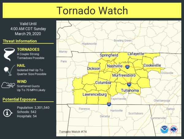
A new Tornado Watch was just issued for Middle Tennessee which includes the cities of Nashville, Cookeville, Murfreesboro, Columbia, and Lawrenceburg. Tornadoes (a couple of strong tornadoes possible), hail up to one-inch in diameter, and damaging winds up to 70 MPH are the main threats across the watch area.
The watch is set to expire at 4:00 am CDT.
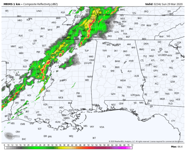
It looks like the northwest corner of the state will only take a glancing shot from the stronger part of the line of storms as it moves into North/Central Alabama, keeping nearly all of that stronger to severe activity to the north of the area.
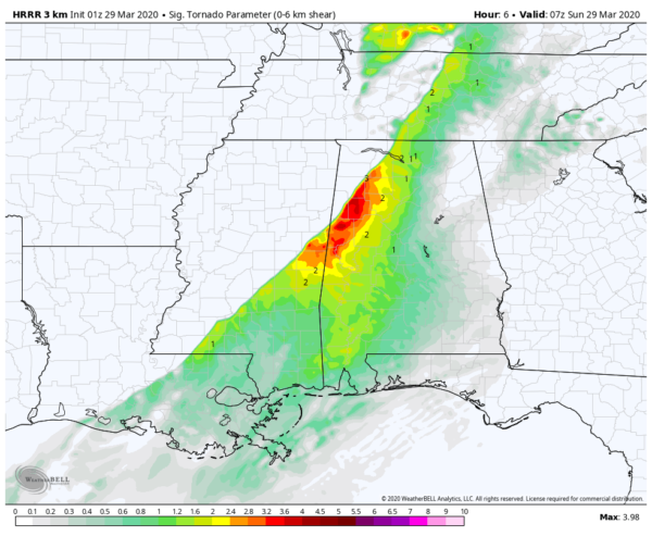
The HRRR has really backed off on the strength of this line as it begins to move through the area. STP values are only reaching around 3.5, so we still will have to watch for a brief isolated tornado in the northwestern parts of the area. Remember, those values were nearly doubled in my earlier big update. This latest STP image is valid at 2:00 am CDT.
Category: Alabama's Weather, ALL POSTS, Severe Weather
About the Author (Author Profile)
Scott Martin is an operational meteorologist, professional graphic artist, musician, husband, and father. Not only is Scott a member of the National Weather Association, but he is also the Central Alabama Chapter of the NWA president. Scott is also the co-founder of Racecast Weather, which provides forecasts for many racing series across the USA. He also supplies forecasts for the BassMaster Elite Series events including the BassMaster Classic.Subscribe
If you enjoyed this article, subscribe to receive more just like it.


