Getting Very Warm with Plenty of Sunshine at Midday
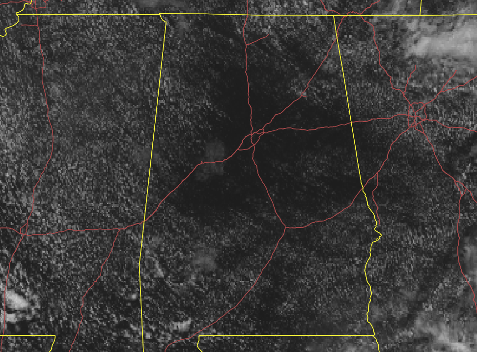
Nothing on radar and the visible satellite shows mostly clear skies across Central Alabama as we have reached the midway point of the midday hour on this fine but very warm Memorial Day. Temperatures as of the midday roundup were in the 80s across the area. Birmingham was at 86 degrees. Montgomery and Troy were tied as the warm spots at 87 degrees. Auburn was the cool spot at 80 degrees.
A FEW ISOLATED STORMS POSSIBLE THIS AFTERNOON THROUGH TONIGHT
If you don’t mind the very warm to hot temperatures for the holiday, today will be a near-perfect day for you. Skies will be mostly sunny throughout the day and there will only be a very small chance of an isolated afternoon shower or thunderstorm. Afternoon highs will be in the mid-80s to the lower 90s. Same story for the night time hours… isolated showers and thunderstorms will be possible this evening through the late-night hours. Lows will be in the mid-60s to the lower 70s.
A CUT-OFF LOW IS A WEATHERMAN’S WOE
Ridging will be building over the area that will keep a southerly flow in place on Tuesday which will lead to scattered showers and thunderstorms being possible throughout the entire day. Highs will only be reaching the upper 70s to the lower 80s. More showers and thunderstorms can be expected during the afternoon hours on Wednesday as highs will top out in the mid to upper 80s for most.
A low is expected to get cut off from the main jet stream on Wednesday, and where it ends up hanging out for the end of the week will determine just exactly how high our rain chances will be. At this point, it looks like scattered to numerous showers and thunderstorms will be likely on both Thursday and Friday afternoon and evenings. Highs on both days will be in the mid to upper 80s.
SUMMERTIME-PATTERN FOR NEXT WEEKEND
A standard summertime pattern looks to return for the weekend with a good bit of sunshine early and a decent chance of scattered afternoon and evening showers and thunderstorms. Highs on both days will be in the mid-80s to the lower 90s.
THE TROPICS
We are not expecting any tropical cyclone activity to form throughout the next five days across the Gulf of Mexico, the Caribbean Sea, or the tropical Atlantic Ocean.
A HISTORIC ROCKET LAUNCH SCHEDULED FOR WEDNESDAY
The United States will once again launch a rocket with astronauts on-board as the SpaceX Falcon-9 rocket will be carrying the Crew Dragon spacecraft to space where it will rendezvous with the International Space Station less than 24 hours later. The historic launch is set to take place at 3:32 pm CDT on Wednesday afternoon (May 27th). There may be an issue with the weather as there is a 50% chance of showers and thunderstorms at Launch Pad 39A along with a decent amount of clouds being forecast. If the launch is scrubbed due to weather, the next attempt would come on Saturday (May 30th).
ON THIS DAY IN WEATHER HISTORY
1917 – A tornado ripped through southeast Kansas, traveling 65 mph. The average speed was a record for any tornado.
1955 – Two tornadoes struck the town of Blackwell, OK, within a few minute’s time during the late evening. The tornadoes killed 18 persons and injured more than 500 others. Early the next morning a tornado virtually obliterated the small community of Udall KS killing 80 persons and injuring 270 persons. More than half the persons in the community were killed or injured by the tornado.
BEACH FORECAST
Get the latest weather and rip current forecasts for the beaches from Bay St. Louis, MS, to Panama City Beach, FL, on our Beach Forecast Center page. There, you can select the forecast of the region that you are interested in.
ADVERTISE ON THE BLOG!
We had another fantastic year in 2019 with just over 17 million page views! That brings our total for the last 2 years close to 37 million page views! Don’t miss out! We can customize a creative, flexible, and affordable package that will suit your organization’s needs. Contact Bill Murray at (205) 687-0782.
E-FORECAST
Get the Alabama Wx Weather Blog’s Seven-Day Forecast delivered directly to your inbox by email twice daily. It is the most detailed weather forecast available in Central Alabama. Subscribe here… It’s free!
CONNECT WITH THE BLOG ON SOCIAL MEDIA
You can find the AlabamaWx Weather Blog on the major social media networks:
Facebook
Twitter
Instagram
Category: Alabama's Weather, ALL POSTS
About the Author (Author Profile)
Scott Martin is an operational meteorologist, professional graphic artist, musician, husband, and father. Not only is Scott a member of the National Weather Association, but he is also the Central Alabama Chapter of the NWA president. Scott is also the co-founder of Racecast Weather, which provides forecasts for many racing series across the USA. He also supplies forecasts for the BassMaster Elite Series events including the BassMaster Classic.Subscribe
If you enjoyed this article, subscribe to receive more just like it.


