Strong Storms Now Firing Up Behind the First Round
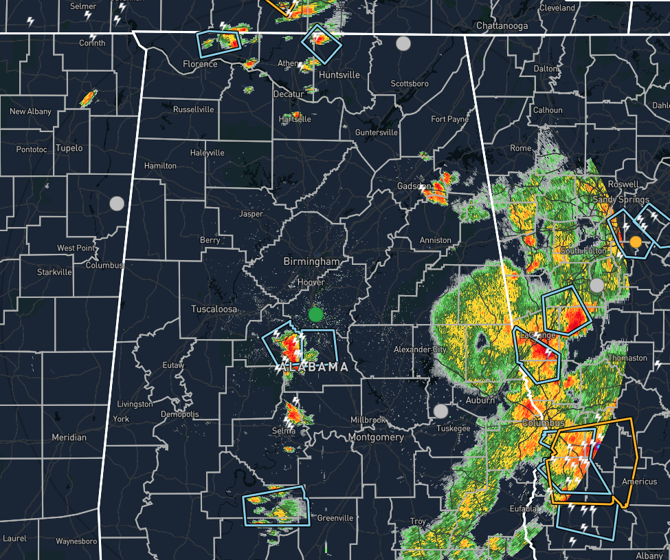
At 4:20 pm, we have three separate thunderstorms out there that have caught the attention of the NWS offices in Huntsville and Birmingham as gusty winds of up to or exceeding 40 MPH may be possible.
The first cell was affecting northeastern parts of Lauderdale County and the second cell was located over the northwestern parts of Madison County. The third cell was located in extreme eastern parts of Bibb County and moving into western parts of Chilton County.
There are a few other isolated storms out there at this point, but those are not strong at this point. We also have a rough band of showers and thunderstorms moving into Georgia, but none of this activity is strong as well.
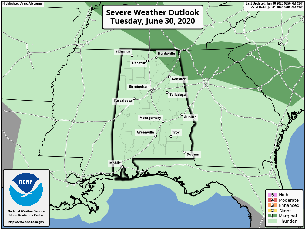
We still continue to have the extreme northeastern corner of the state in a level 1 Marginal Risk for severe storms, but as we have seen earlier, severe thunderstorms are able to briefly form outside of the risk area. When dealing with summertime convective thunderstorms, expect the unexpected.
Category: Alabama's Weather, ALL POSTS, Severe Weather
About the Author (Author Profile)
Scott Martin is an operational meteorologist, professional graphic artist, musician, husband, and father. Not only is Scott a member of the National Weather Association, but he is also the Central Alabama Chapter of the NWA president. Scott is also the co-founder of Racecast Weather, which provides forecasts for many racing series across the USA. He also supplies forecasts for the BassMaster Elite Series events including the BassMaster Classic.Subscribe
If you enjoyed this article, subscribe to receive more just like it.


