

As of 10:00 pm, Isaias is Now a Post Tropical Cyclone as it Moves Into Southeastern Canada
SUMMARY OF 1100 PM EDT…0300 UTC…INFORMATION
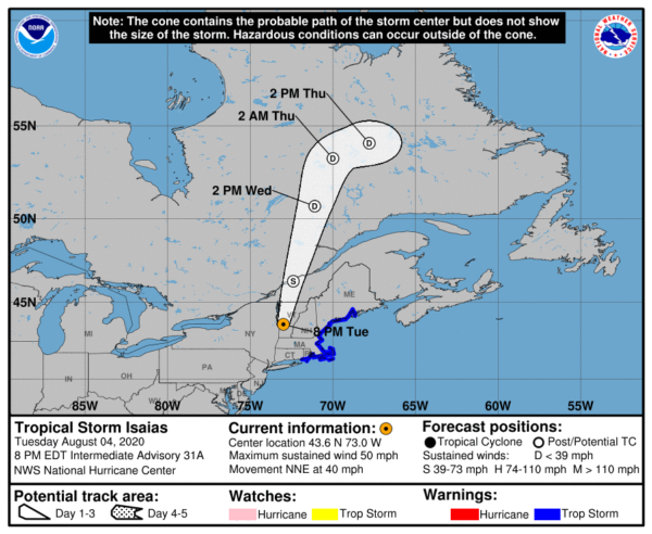
LOCATION…45.3N 72.5W
ABOUT 45 MI…70 KM ESE OF MONTREAL QUEBEC
MAXIMUM SUSTAINED WINDS…45 MPH…75 KM/H
PRESENT MOVEMENT…NNE OR 20 DEGREES AT 38 MPH…61 KM/H
MINIMUM CENTRAL PRESSURE…1000 MB…29.53 INCHES
SUMMARY OF WATCHES AND WARNINGS IN EFFECT
A Tropical Storm Warning is in effect for…
* Merrimack River Massachusetts to Stonington Maine
DISCUSSION AND OUTLOOK
At 1100 PM EDT (0300 UTC), the center of Post-Tropical Cyclone Isaias was located near latitude 45.3 North, longitude 72.5 West. The post-tropical cyclone is moving toward the north-northeast near 38 mph (61 km/h), and this general motion is expected with a decrease in forward speed through Wednesday night.
Maximum sustained winds have decreased to near 45 mph (75 km/h) with higher gusts, mainly over water to the southeast of the center. Continued weakening is expected, and the winds are expected to drop below tropical-storm-force during the next few hours. The post-tropical cyclone is expected to dissipate over southeastern Canada Wednesday night or Thursday.
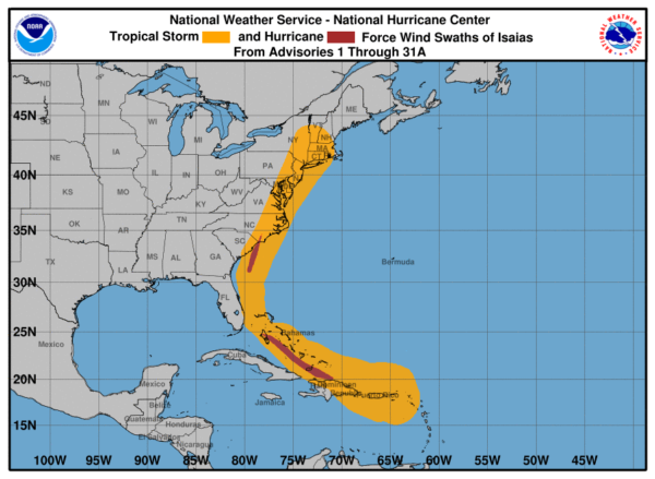
Tropical-storm-force winds extend outward up to 175 miles (280 km) to the southeast of the center. The NOAA automated station at Isle of Shoals, New Hampshire recently reported sustained winds of 46 mph (74 km/h) and a wind gust of 51 mph (81 km/h) at an elevation of 63 ft (19 m).
The estimated minimum central pressure is 1000 MB (29.53 inches).
KEY MESSAGES
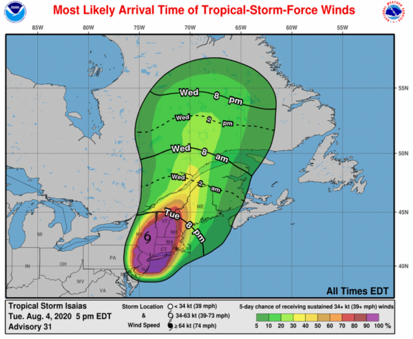
WIND: Tropical-storm conditions are expected for a few more hours in the tropical storm warning area in southern New England. These winds could cause significant tree damage and power outages. Gale-force winds are possible over portions of southeastern Quebec for a few more hours.
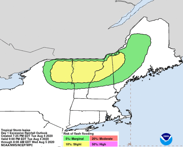
RAINFALL: Rainfall accumulations of 1 to 3 inches are expected along and near the track of Isaias across Southern Quebec. Additional rainfall of up to an inch is possible across western and northern Maine overnight.
As the rainfall exits the United States, scattered minor to moderate and isolated major river flooding is ongoing or forecast across portions of the Mid-Atlantic with most rivers falling below flood stage Wednesday. Quick-responding rivers in the Northeast will also be susceptible to minor and possible moderate river flooding.
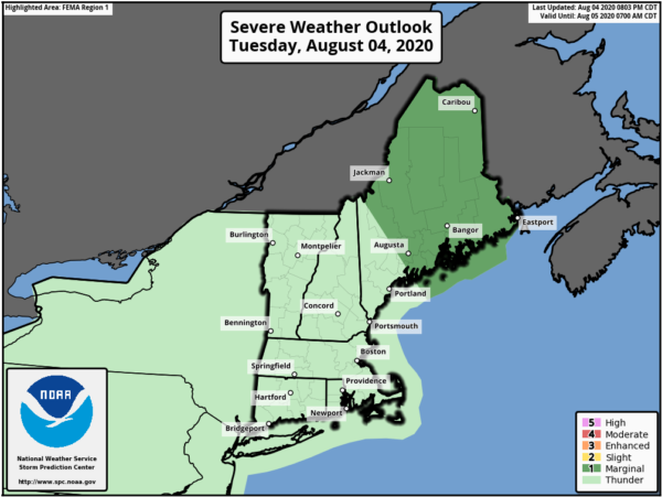
TORNADOES: A couple of tornadoes are possible across central and eastern Maine for the next several hours.
SURF: Swells generated by Isaias will affect the mid-Atlantic and Northeast coasts of the United States through tonight. These swells are likely to cause life-threatening surf and rip current conditions.
All information from the National Hurricane Center’s 10:00 pm CDT update.
Category: ALL POSTS, Severe Weather, Tropical
About the Author (Author Profile)
Scott Martin is an operational meteorologist, professional graphic artist, musician, husband, and father. Not only is Scott a member of the National Weather Association, but he is also the Central Alabama Chapter of the NWA president. Scott is also the co-founder of Racecast Weather, which provides forecasts for many racing series across the USA. He also supplies forecasts for the BassMaster Elite Series events including the BassMaster Classic.Subscribe
If you enjoyed this article, subscribe to receive more just like it.


