Marco Moves Onshore Near the Mouth of the Mississippi River
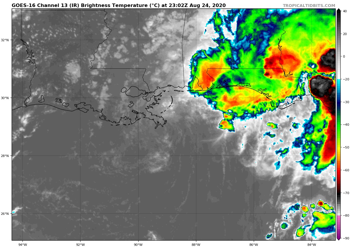
Visible satellite imagery and surface observations indicate that Marco made landfall near the mouth of the Mississippi River around 600 PM CDT. Data from an Air Force Reserve Hurricane Hunter Aircraft indicate that Marco is producing a small area of tropical-storm-force winds over water to the northeast of the center. These winds will likely subside during the next few hours as Marco moves along the coast of Louisiana. Heavy rain will continue along portions of the north-central Gulf Coast through tonight.
The estimated minimum pressure at the time of landfall was 1006 MB (29.71 inches).
Category: ALL POSTS, Severe Weather, Tropical
About the Author (Author Profile)
Scott Martin is an operational meteorologist, professional graphic artist, musician, husband, and father. Not only is Scott a member of the National Weather Association, but he is also the Central Alabama Chapter of the NWA president. Scott is also the co-founder of Racecast Weather, which provides forecasts for many racing series across the USA. He also supplies forecasts for the BassMaster Elite Series events including the BassMaster Classic.Subscribe
If you enjoyed this article, subscribe to receive more just like it.


