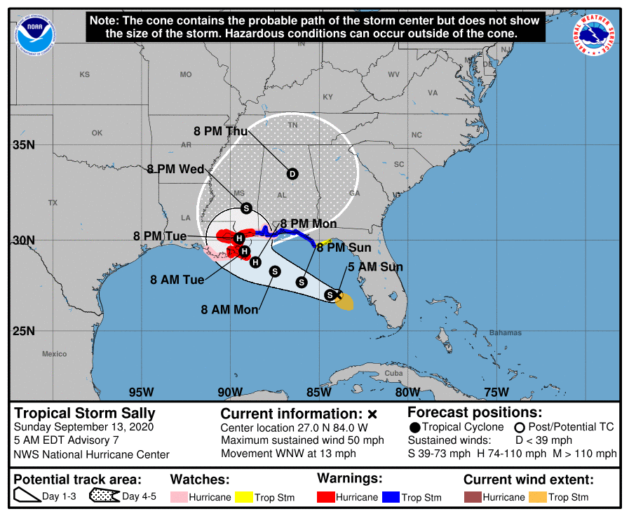
Here’s the Cone from the 4 a.m. CDT Advisory
The official forecast track is narrowing as we get closer to landfall and the track does not look good for New Orleans area.
We have a stronger hurricane that may pass near New Orleans Tuesday afternoon.
Winds near 100 mph with near 120 mph gusts will affect Plaquemines Parish, with 90 mph winds in the New Orleans area, gusting to 105-110 mph.
Hurricane warnings are in effect now from Port Fourchon LA to the Alabama/Florida border.
The forecast cone now projects the center could make landfall anywhere from Dauphin Island back to the Atchafayla Bay near Morgan City in Louisiana.
There is still a larger than normal amount of uncertainty in the forecast and interest should not fixate on the official track verbatim, but realize the center could make landfall anywhere in the error cone, producing very different impacts in different scenarios.
About the Author (Author Profile)
Bill Murray is the President of The Weather Factory. He is the site's official weather historian and a weekend forecaster. He also anchors the site's severe weather coverage. Bill Murray is the proud holder of National Weather Association Digital Seal #0001 @wxhistorianSubscribe
If you enjoyed this article, subscribe to receive more just like it.


