Very Nice But Breezy at Time Outdoors at Midday

It is definitely a beautiful but breezy day across Central Alabama today as the northern half has mainly clear skies with the southern half having some clouds flowing in from Tropical Storm Beta that is located hundreds of miles to our southwest sitting just off of the Texas Gulf Coast. Winds across the area were averaging in the 5-15 MPH range with some gusts topping out over 20 MPH. Temperatures were in the upper 60s to the lower 70s across the area as of the 12:00 pm official roundup. Tuscaloosa was the warm spot at 73 degrees. Alexander City and Auburn were both tied at 68 degrees as the cool spots. Birmingham was sitting at 72 degrees.
We’ll continue to have mostly clear to partly cloudy skies across the northern half of Central Alabama through the rest of the afternoon and into the early evening hours, while skies will remain partly to mostly cloudy over the southern half. Winds will stay rather breezy while the sun is out, but those will start to calm down as we lose the sunlight. Afternoon highs will top out in the lower to mid-70s for most, while some west-central locations may reach the upper 70s. Skies will remain partly to mostly cloudy across the area for tonight and through the overnight hours. Temperatures will fall into the mid-50s to right at 60 degrees.
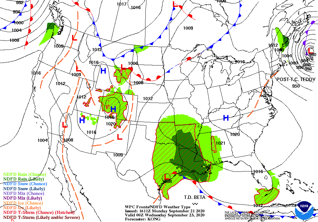
Clouds will be on the increase during the day on Tuesday and a few showers and maybe a thunderstorm will be possible over the extreme western portions of the area during the afternoon and early evening hours. Beta will start to move in our general direction, but a center of high pressure will be just off to our northeast that will continue to block much of the tropical moisture from invading Central Alabama for at least one more day. Afternoon highs will top out in the mid to the upper 70s.
ON THIS DAY IN WEATHER HISTORY
1894 – A heavy chicken house, sixteen by sixteen feet in area, was picked up by a tornado and wedged between two trees. The hens were found the next day sitting on their eggs in the chicken house, with no windows broken, as though nothing had happened.
1924 – A couple of tornadoes, one rated F4 and the other F5, tore paths of devastation through Eau Claire, Clark, and Taylor Counties in Wisconsin. The death toll was 18 and 50 people were injured.
1938 – The “Long Island Express”, New England’s greatest hurricane on record, slammed into Long Island at a forward speed in excess of 60 mph. The pressure at Bellport on Long Island dropped to 27.94 inches, the lowest pressure ever recorded in the northeastern U.S. Blue Hill Observatory in Milton, Massachusetts had 121 mph sustained winds with a peak gust of 186 mph. A massive storm surge with waves 30 to 40 feet high caused extreme devastation on the Long Island, Rhode Island, and southeast Massachusetts coastlines. Providence, Rhode Island was inundated with a record 13.75-foot storm surge; Newport, Rhode Island recorded a wind gust of 116 miles per hour and a barometer reading of 28.77 inches. 600 people were killed and total damage was 387 million dollars.
1989 – Hurricane Hugo slammed into the South Carolina coast about 11 PM, making landfall near Sullivan’s Island. Hurricane Hugo was directly responsible for thirteen deaths and indirectly responsible for twenty-two others. A total of 420 persons were injured in the hurricane, and the damage was estimated at eight billion dollars, including two billion dollars of damage to crops. Sustained winds reached 85 mph at Folly Beach SC, with wind gusts as high as 138 mph. Wind gusts reached 98 mph at Charleston, and 109 mph at Shaw AFB. The biggest storm surge occurred in the McClellanville and Bulls Bay area of Charleston County, with a storm surge of 20.2 feet reported at Seewee Bay. Shrimp boats were found one half mile inland at McClellanville.
Category: Alabama's Weather, ALL POSTS, Tropical
About the Author (Author Profile)
Scott Martin is an operational meteorologist, professional graphic artist, musician, husband, and father. Not only is Scott a member of the National Weather Association, but he is also the Central Alabama Chapter of the NWA president. Scott is also the co-founder of Racecast Weather, which provides forecasts for many racing series across the USA. He also supplies forecasts for the BassMaster Elite Series events including the BassMaster Classic.Subscribe
If you enjoyed this article, subscribe to receive more just like it.


