Delta Weakens Into a Depression Over Western Mississippi
…DELTA WEAKENS TO A DEPRESSION OVER WESTERN MISSISSIPPI…
…HEAVY RAIN THREAT CONTINUES…
SUMMARY OF 1000 AM CDT…1500 UTC…INFORMATION
———————————————–
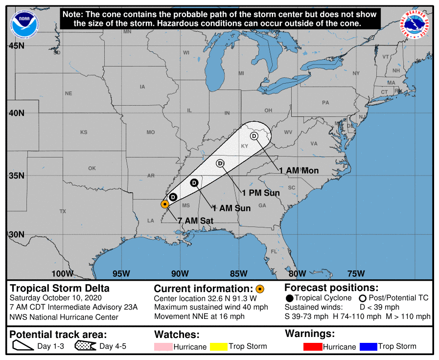
LOCATION…33.1N 90.8W
ABOUT 65 MI…105 KM NNW OF JACKSON MISSISSIPPI
MAXIMUM SUSTAINED WINDS…35 MPH…55 KM/H
PRESENT MOVEMENT…NE OR 35 DEGREES AT 16 MPH…26 KM/H
MINIMUM CENTRAL PRESSURE…994 MB…29.36 INCHES
WATCHES AND WARNINGS
——————–
There are no coastal watches or warnings in effect.
DISCUSSION AND OUTLOOK
———————-
At 1000 AM CDT (1500 UTC), the center of Tropical Depression Delta
was located near latitude 33.1 North, longitude 90.8 West. The
depression is moving toward the northeast near 16 mph (26 km/h),
and this motion is expected to continue with a decrease in forward
speed through Sunday night. On the forecast track, the center of
Delta should move across western and northern Mississippi today and
into the Tennessee Valley tonight and Sunday.
Maximum sustained winds have decreased to near 35 mph (55 km/h)
with higher gusts. Additional weakening is expected, and Delta is
expected to decay to a remnant low-pressure area on Sunday.
Greenwood, Mississippi, recently reported a wind gust of 43 mph
(69 km/h), and an automated station near Monticello, Arkansas,
recently reported a wind gust of 41 mph (66 km/h).
The minimum central pressure estimated from surface observations is
994 MB (29.36 inches).
HAZARDS AFFECTING LAND
———————-
Key messages for Delta can be found in the Tropical Cyclone
Discussion under AWIPS header MIATCDAT1, WMO header WTNT41
KNHC, and on the web at www.hurricanes.gov/text/MIATCDAT1.shtml.
WIND: Wind gusts to tropical-storm-force are possible this
afternoon over portions of northern Mississippi and southeastern
Arkansas.
STORM SURGE: Water levels will continue to subside today along the
Louisiana coast. Consult products issued by your local National
Weather Service forecast office for additional information.
RAINFALL: For eastern Arkansas and northern Mississippi, Delta is
expected to produce an additional 2 to 4 inches of rain, with
isolated storm totals of 10 inches. These rainfall amounts will lead
to flash, urban, small stream, and minor river flooding.
As the remnants of Delta move further inland, 1 to 3 inches of rain,
with locally higher amounts, are expected in northern Alabama and
the Tennessee Valley into the Mid-Atlantic through the weekend.
There is a potential for 3 to 6 inches in the Southern to the Central
Appalachians, which could lead to flash, urban, small stream, along
with isolated minor river flooding.
TORNADOES: A few tornadoes are possible across parts of Alabama,
the Florida Panhandle, and western Georgia through early tonight.
SURF: Swells from Delta are gradually subsiding along the northern
Gulf Coast. Please consult products from your local weather office
for additional information.
This is the last Public Advisory issued by the National Hurricane
Center on this system.
Category: ALL POSTS, Severe Weather, Tropical
About the Author (Author Profile)
Scott Martin is an operational meteorologist, professional graphic artist, musician, husband, and father. Not only is Scott a member of the National Weather Association, but he is also the Central Alabama Chapter of the NWA president. Scott is also the co-founder of Racecast Weather, which provides forecasts for many racing series across the USA. He also supplies forecasts for the BassMaster Elite Series events including the BassMaster Classic.Subscribe
If you enjoyed this article, subscribe to receive more just like it.


