Clouds Beginning to Decrease in Coverage at Midday
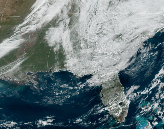
Clouds associated with what is left of Delta combined with an approaching cold front are keeping the rays of the sun from reaching the surface at times out there across Central Alabama just shy of the start to the midday hour. No rain on the radar at the moment and should stay that way not only for today but at least through the entire workweek and the weekend. Temperatures as of the 11:00 am roundup were in the 70s across the area. The cool spot was Haleyville at 72 degrees. The warm spot was Troy at 79 degrees. Birmingham was sitting at 77 degrees.
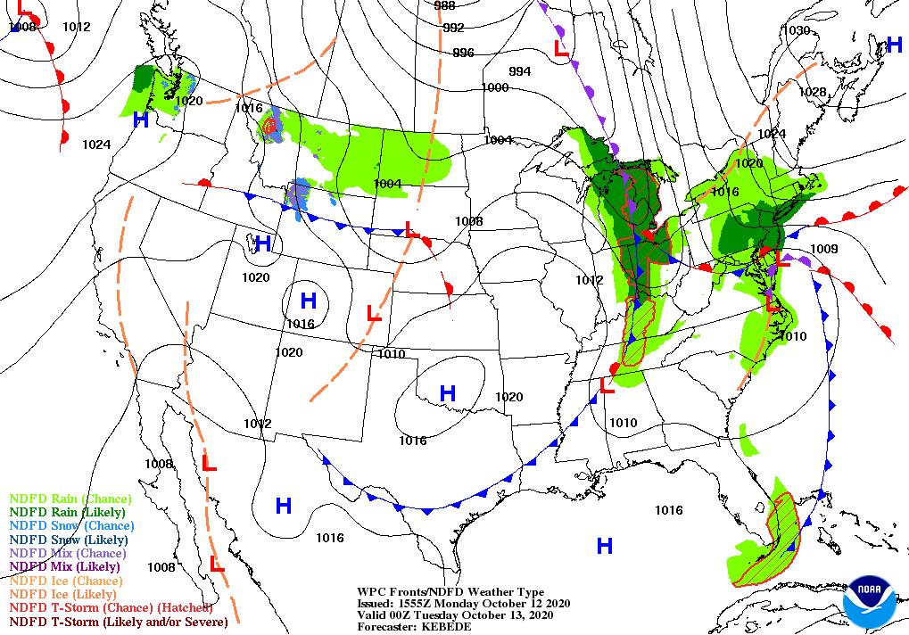
While the cold front approaches the area through the rest of the daylight hours, clouds will continue to push out of the area, but a few more clouds may briefly roll back in with the front this evening and through the late-night hours. We’ll stay dry across Central Alabama, but a few raindrops may fall over the extreme northern and northeastern parts of North Alabama. It will be quite warm and a little humid out there with highs ranging from the lower 80s in the east to the upper 80s in the west. The extreme northwestern corner’s temperatures may be held back as the cold front may make it into that part of the area before maximum daytime heating is reached.
The cold front continues to make its way across Central Alabama this evening and through the overnight hours. While temperatures may only be a few degrees cooler than this morning’s lows, you will be able to tell the difference in the humidity as it will be much lower. Lows will range from the lower 50s in the northwest to the mid-60s in the southeast.
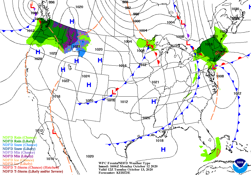
High pressure moves in just to our northwest as the front continues to move through the extreme southeastern portions of Central Alabama to start the day on Tuesday. Skies will clear out and temperatures will be cooler with highs ranging from the lower 70s in the northwest to the lower 80s in the southeast. Dewpoints across the area will be much lower, falling to the upper 40s to the upper 50s by Tuesday afternoon from the upper 60s to the lower 70s that we’ll have later this afternoon. Just wait until the end of the week and the weekend when true fall really arrives.
Category: Alabama's Weather, ALL POSTS
About the Author (Author Profile)
Scott Martin is an operational meteorologist, professional graphic artist, musician, husband, and father. Not only is Scott a member of the National Weather Association, but he is also the Central Alabama Chapter of the NWA president. Scott is also the co-founder of Racecast Weather, which provides forecasts for many racing series across the USA. He also supplies forecasts for the BassMaster Elite Series events including the BassMaster Classic.Subscribe
If you enjoyed this article, subscribe to receive more just like it.


