Remaining Very Cool at the Mid-Afternoon Weather Check
The Central Alabama Weekend
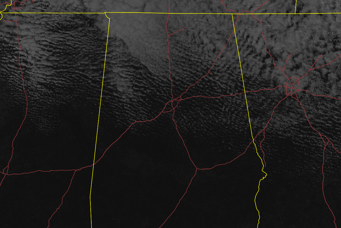
While the clouds have dissipated somewhat over the northern parts of Central Alabama throughout the day so far, we still have some clouds that are blocking the sun at times. In the southern half of the area, there is plenty of sunshine to go around. Temperatures were in the lower 40s to the lower 50s as of the 1:00 pm roundup. Birmingham was at 47 degrees. The warm spot was Troy at 52 degrees. Haleyville was the cold spot at 40 degrees. Winds are not helping at all with gusts up to 20-25 MPH in some locations.
Skies will continue to partly sunny for the northern half of the area with plenty of sunshine for the southern half of Central Alabama until sunset. Afternoon highs will be in the mid-40s to the lower 50s. Clouds will begin to increase once again during the late-night and overnight hours. Lows will be in the upper 20s to the lower 30s.
Winds will remain breezy at times for your Sunday, but the good news is that clouds will be decreasing, and the afternoon highs will be increasing. Highs will be in the upper 40s to the mid-50s from northwest to southeast across Central Alabama. Some wind gusts may reach as high as 20 MPH during the afternoon hours.
Next Week
We’ll start on a trend of moderating temperatures on Monday with mainly sunny skies. Highs will be in the upper 40s to the upper 50s.
It will be even warmer on Tuesday as we’ll continue to have mainly sunny skies. Highs will be in the mid-50s to the lower 60s.
A cold front will stall off to our west for Wednesday but will be close enough to send some clouds and a very small chance of a few scattered showers throughout the day mainly for the extreme northern parts of the area. Highs will be in the mid-50s to the mid-60s.
The former cold front will eventually move through Central Alabama on Thursday that will keep skies cloudy with showers likely at times for much of the day, but we’ll dry out for a little while during the evening and overnight hours. Highs will be in the upper 50s to the upper 60s.
Another system will move through on Friday that will bring even more clouds and rain to the area. The GFS is showing the potential of some wintry precipitation for the extreme northern parts of the area during the afternoon and evening hours, but the European model is keeping it all rain. I’ll agree with the European model as highs will be in the mid-50s to the mid-60s.
On This Day in Weather History
1831 – A great snowstorm raged from Georgia to Maine. Snowfall totals greater than 30 inches were reported from Pennsylvania across southern New England.
Category: Alabama's Weather, ALL POSTS
About the Author (Author Profile)
Scott Martin is an operational meteorologist, professional graphic artist, musician, husband, and father. Not only is Scott a member of the National Weather Association, but he is also the Central Alabama Chapter of the NWA president. Scott is also the co-founder of Racecast Weather, which provides forecasts for many racing series across the USA. He also supplies forecasts for the BassMaster Elite Series events including the BassMaster Classic.Subscribe
If you enjoyed this article, subscribe to receive more just like it.


