Increasing Sunshine Ahead of a Strong Cold Front that Will Move Across the Area this Afternoon
Areas northwest of I-59 are now seeing some sunshine late this morning, and that is a trend we should see continuing through the day as drier air aloft works into the area.
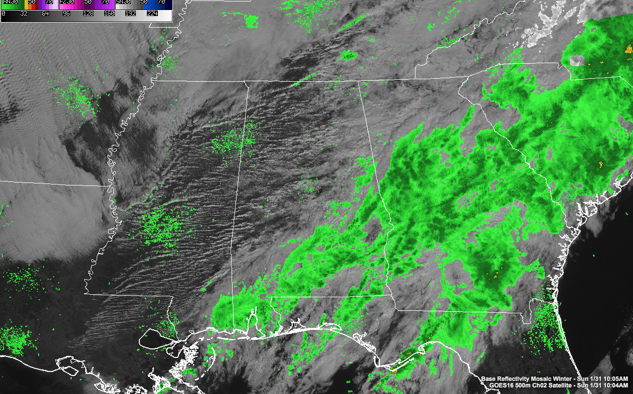
Showers from last night and early this morning have pushed into southeastern Alabama.
It’s mild across the area, with temperatures mainly in the upper 50s and lower 60s, except over Northwest Alabama, where temperatures are in the upper 40s still. The warm front never made it that far overnight.
At the surface, the low pressure center is along the Illinois/Indiana border at this hour, with an occluded front extending southward. This occlusion is because the cold front has caught up to and overtaken the warm front over southern Indiana and western Kentucky. Further south, it is still intact as a warm front down into Northeast Alabama.
Our cold front is over western Tennessee and northwestern Mississippi at this time. Behind it northwesterly winds pick up and temperatures fall into the 40s fairly quickly. There could be a few light showers ahead of the front this afternoon here in our state. The front should reach Hamilton by noon, Jasper by 2 p.m. and Birmingham by 4 o’clock.
Highs today will be in the 60s over the northern half of the state, with 70s south of US-80.
Lows tonight will be near freezing over the Tennessee Valley, with middle and upper 30s south.
Tomorrow will be chilly with mostly cloudy skies and highs struggling to get out the 30s.
Category: Alabama's Weather, ALL POSTS
About the Author (Author Profile)
Bill Murray is the President of The Weather Factory. He is the site's official weather historian and a weekend forecaster. He also anchors the site's severe weather coverage. Bill Murray is the proud holder of National Weather Association Digital Seal #0001 @wxhistorianSubscribe
If you enjoyed this article, subscribe to receive more just like it.


