Beautiful Blue Skies for Now
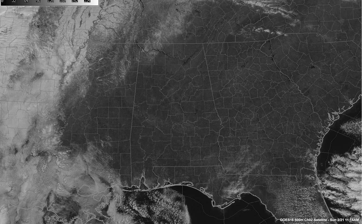
A beautiful late February Sunday is in progress across Alabama. Some high clouds drifted across the Tennessee Valley earlier, but now the only thing showing up on visible satellite images is snow in the northwestern part of the state.
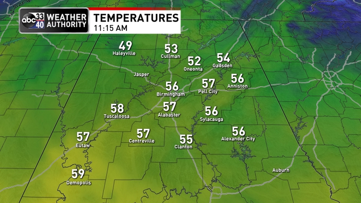
Temperatures are in the lower 50s across the Tennessee Valley with middle 50s already across Central Alabama. The exception is the northwestern corner of the state where it was still 49F at Muscle Shoals, thanks to the snow.
Here are expected afternoon readings:
Clouds will thicken later this afternoon and tonight.
Rain will arrive overnight ahead of a cold front. Here is the radar depiction at 3 a.m. from the HRRR:
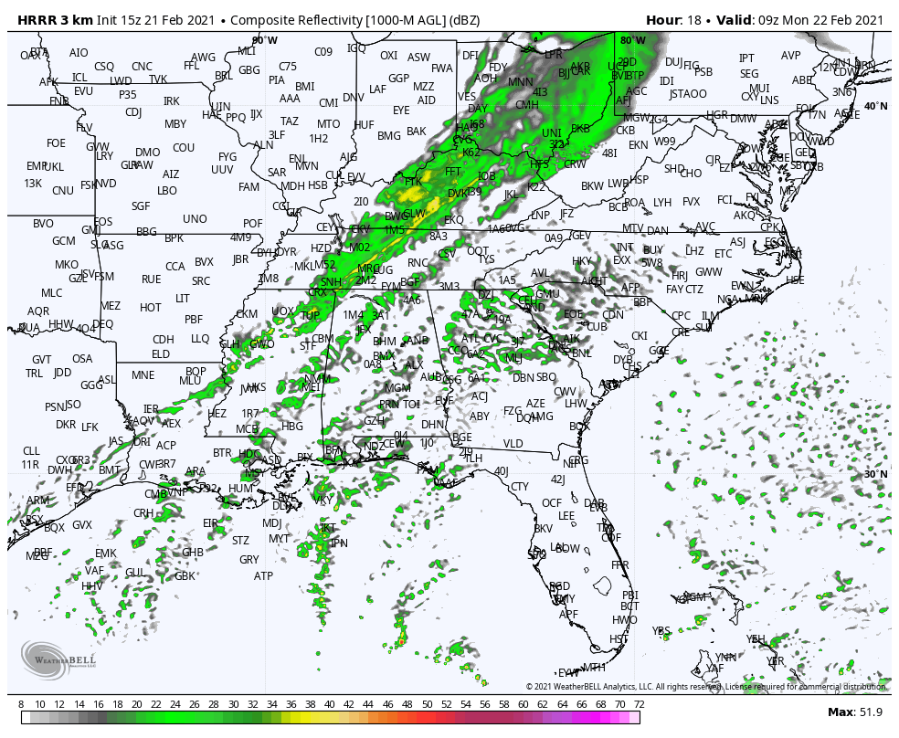
The cold front pushing the rain will reach the I-59 Corridor by 10 a.m. This is a little slower than earlier thought but the showers should quickly move out of east Alabama by noon.
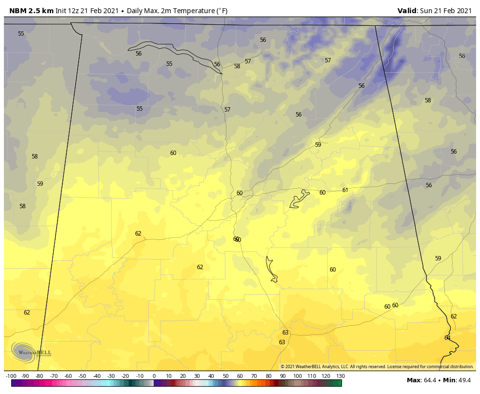
Lows tonight will be in the 40s. Highs on Monday will range from 51-61F from northwest to southeast.
Tuesday and Wednesday will be dry and mild, with highs in the 60s. Rain will return
There could be a shower Tuesday, but it appears that the best rain chances late in the week may not come until Friday.
Category: Alabama's Weather, ALL POSTS
About the Author (Author Profile)
Bill Murray is the President of The Weather Factory. He is the site's official weather historian and a weekend forecaster. He also anchors the site's severe weather coverage. Bill Murray is the proud holder of National Weather Association Digital Seal #0001 @wxhistorianSubscribe
If you enjoyed this article, subscribe to receive more just like it.


