A Brief Late Morning Check on Our Weather Setup for Today
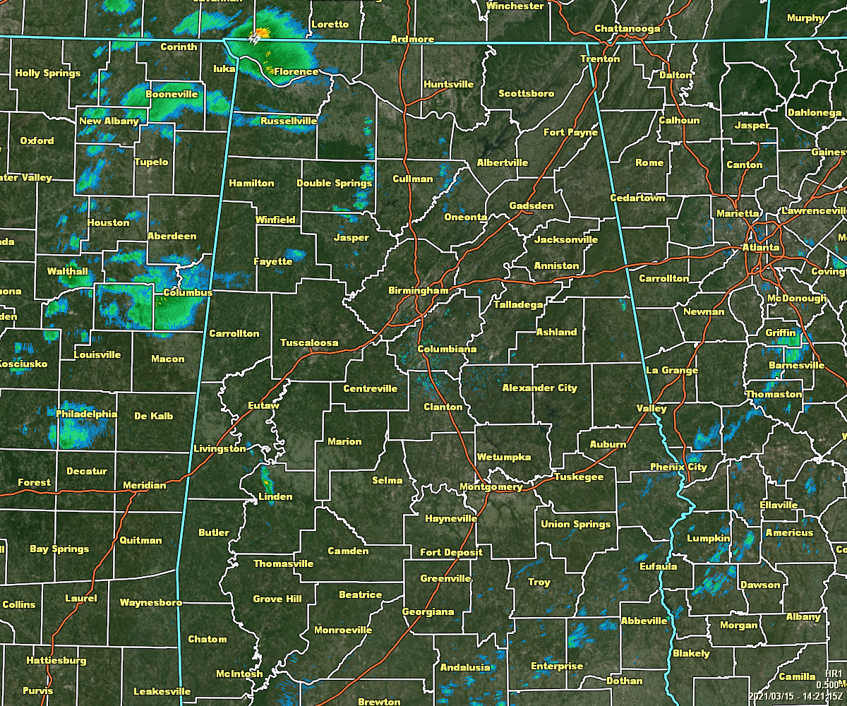
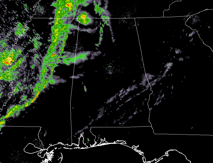
At 9:21 am, we are still rather quiet across much of the area, with the only exception being a thunderstorm that was moving northeastward through the western half of Lauderdale County. Any other shower activity out there at this point remains rather light.
The line of showers and storms associated with the cold front is currently over the east-central parts of Tennessee and Mississippi, before curving back to the southwest into the southern and southeastern parts of Louisiana. No watches or warnings are currently in effect for this line of storms, and let us hope that it stay this way today.
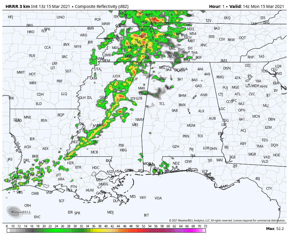
The latest run of the HRRR model shows that the line of rain and storms will move into the west and northwestern parts of North/Central Alabama around the 11 am hour and slowly progress through the northern half of the area. The line looks to reach the Tuscaloosa area around 2-3 pm, the Birmingham area around 3-4 pm, and the Gadsden and Anniston area around 5-6 pm. After that, the front will begin to stall out over the area and the line of rain and storms will become more horizontal in nature (flat) and will hang out around the I-20 corridor by midnight.
Higher instability will move into the area from the west around by midday and will be in the 1000-2000 J/kg range across the western two-thirds of the area just before sunset. We’ll have a decent amount of shear in place to start with, but as the better dynamics lift more northward throughout the day, the shear values will drop from south to north. The good news is that helicity values are not that impressive at all across the area today, but there may be a few pockets within the line where helicity ramps up to those values we see involved with rotating updrafts.
All of that to say is that if any stronger to severe storms form within or just ahead of the main squall line associated with the cold front, damaging winds and hail up to quarter size will be the main threats. This setup really doesn’t favor tornado development, but there is just enough ingredients being shown that a brief tornado or two may be possible.
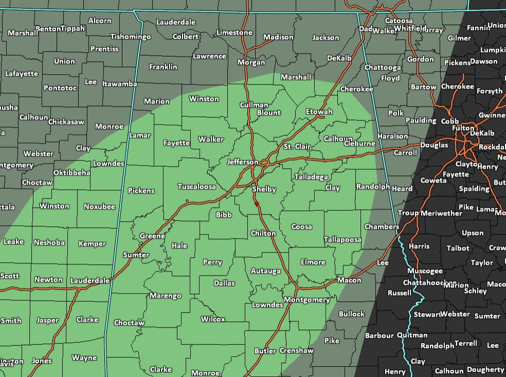
Remember, a Marginal Risk (level 1) for severe storms continues for much of Central Alabama and of the extreme south-central portions of North Alabama for today. The main threat window across the risk area will be from now through 10pm tonight from northwest to southeast.
Category: Alabama's Weather, ALL POSTS, Severe Weather
About the Author (Author Profile)
Scott Martin is an operational meteorologist, professional graphic artist, musician, husband, and father. Not only is Scott a member of the National Weather Association, but he is also the Central Alabama Chapter of the NWA president. Scott is also the co-founder of Racecast Weather, which provides forecasts for many racing series across the USA. He also supplies forecasts for the BassMaster Elite Series events including the BassMaster Classic.Subscribe
If you enjoyed this article, subscribe to receive more just like it.


