

Flash Flood Watch Issued for Nearly All of North Alabama Until 7 am Tuesday
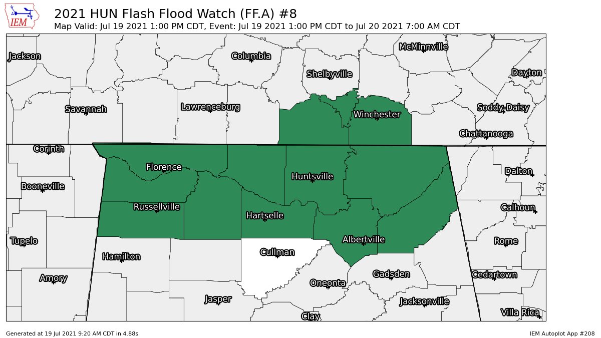
NWS Huntsville has issued a Flash Flood Watch starting at 1 pm this afternoon for the following counties in North Alabama: Colbert, DeKalb, Franklin, Jackson, Lauderdale, Lawrence, Limestone, Madison, Marshall, Morgan. The watch is set to expire at 7 am on Tuesday morning. Here is the text from NWS Huntsville:
FLASH FLOOD WATCH IN EFFECT FROM 1 PM CDT THIS AFTERNOON THROUGH TUESDAY MORNING
The National Weather Service in Huntsville has issued a
* Flash Flood Watch for portions of Alabama and southern middle Tennessee, including the following areas, in Alabama, Colbert, DeKalb, Franklin AL, Jackson, Lauderdale, Lawrence, Limestone, Madison, Marshall and Morgan. In southern middle Tennessee, Franklin TN, Lincoln and Moore.
* From 1 PM CDT this afternoon through Tuesday morning.
* Numerous showers and a few thunderstorms are expected today along a stationary front with widespread rainfall totals of 1 to 2 inches and isolated totals up to 4 to 5 inches. Heavy rain last weekend has saturated soils, and rain rates will likely exceed absorption rates, leading to potential flash flooding.
PRECAUTIONARY/PREPAREDNESS ACTIONS
You should monitor later forecasts and be prepared to take action should Flash Flood Warnings be issued.
Category: Alabama's Weather, ALL POSTS, Severe Weather
About the Author (Author Profile)
Scott Martin is an operational meteorologist, professional graphic artist, musician, husband, and father. Not only is Scott a member of the National Weather Association, but he is also the Central Alabama Chapter of the NWA president. Scott is also the co-founder of Racecast Weather, which provides forecasts for many racing series across the USA. He also supplies forecasts for the BassMaster Elite Series events including the BassMaster Classic.Subscribe
If you enjoyed this article, subscribe to receive more just like it.


