Alabama Update at 10:30 a.m.: Heavy Clouds, Heavy Rain
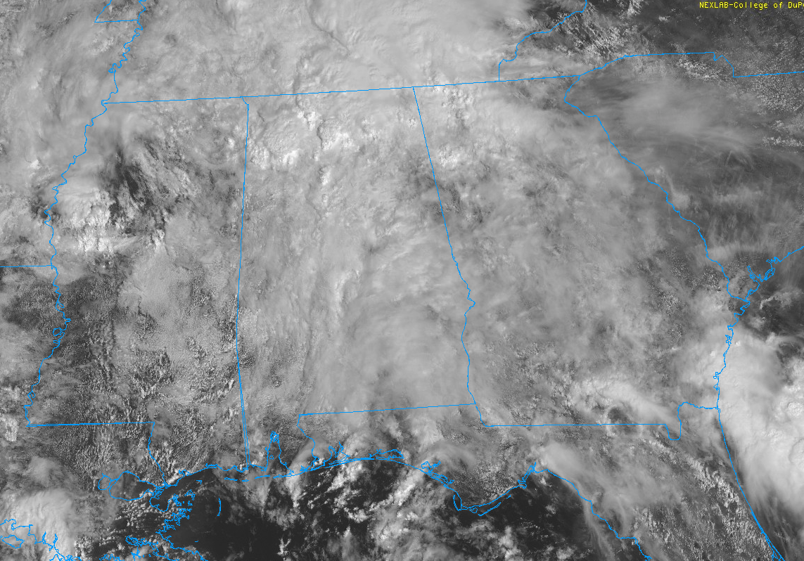
Clouds are thick across most of Alabama this morning. There are some thinner clouds over East Alabama and over Mobile and Baldwin Counties in South Alabama.
Heavy rain covers parts of the Tennessee Valley with the heaviest rain moving through the Huntsville/Decatur area at this time. Flooding was reported earlier near Gurley and Paint Rock in Jackson County. A car was reportedly submerged in the water along US-72 between Gurley and Paint Rock.
There are showers over East Central Alabama from south of I-20 between Birmingham and Anniston down to Alex City, Auburn, and Montgomery. A few showers were lifting across Jefferson County in the Birmingham Metro area.
Temperatures are in the 70s thanks to the cloud cover, not very far separated from their dew point brethren, so humidities are high. You will feel it if you are headed out.
Showers and storms will become more widespread as we head through the afternoon hours. Heavy rainfall rates of up to two inches per hour may occur in the strongest cells. When combined with the saturated soils from yesterday’s rains, flash flooding is a distinct possibility. A flash flood watch is in effect for much of North and Central Alabama until this evening.
Rain will remain in the forecast until a cold front moves across the area Tuesday night and Wednesday morning, setting the stage for an extended period of dry, comfortable weather for Alabama.
Category: Alabama's Weather, ALL POSTS
About the Author (Author Profile)
Bill Murray is the President of The Weather Factory. He is the site's official weather historian and a weekend forecaster. He also anchors the site's severe weather coverage. Bill Murray is the proud holder of National Weather Association Digital Seal #0001 @wxhistorianSubscribe
If you enjoyed this article, subscribe to receive more just like it.


