A Few High Clouds Out There As We Have Reached the Mid Afternoon
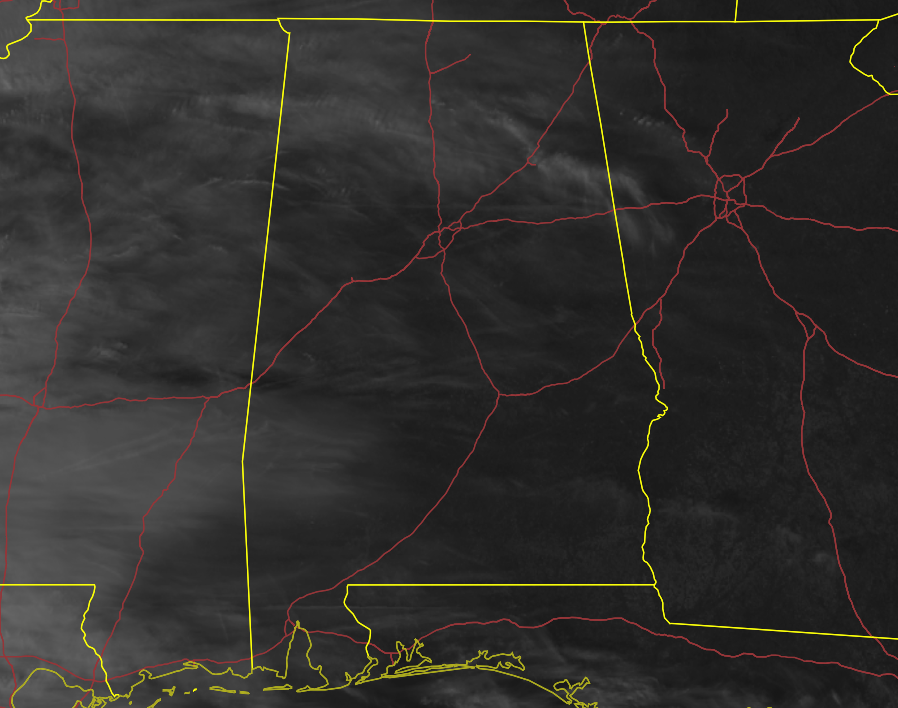
REST OF TODAY: We have a mix of sun and clouds across Central Alabama this afternoon, as high clouds are moving across the area from a disturbance off to our west and southwest. We’ll continue to stay dry throughout the remainder of today, but clouds will continue to build after the sun goes down. Temperatures as of the 2 pm roundup were in the mid 50s to the mid 60s. Birmingham was at 59 degrees. Troy was the warm spot at 64 degrees. Haleyville was the cool spot at 54 degrees. Temperatures will drop into the mid 40s to the lower 50s by 6pm and into the lower to mid 40s by 10 pm. Overnight lows will be in the upper 30s to the mid 40s.
SUNDAY: We’ll have mostly cloudy skies to start with on Sunday morning, and there is a very small chance for a few showers over the extreme southern and southwestern parts of the area. With the dry air we have in place, much of that will most likely evaporate before reaching the ground. Skies will clear out eventually and well end up with mainly sunny skies late. Highs will be in the upper 50s to the lower 60s.
NEXT WEEK: High pressure begins to take over our weather pattern for the work week ahead. Monday will be a sunny day with highs in the mid 50s to the lower 60s. Tuesday will be a little warmer with sunny skies as highs will reach the 60s across the area. We’ll continue the dry weather on Wednesday, with mostly sunny skies and highs in the mid 60s to the lower 70s. Same story for Thursday and Friday as well… mostly sunny with highs in the mid 60s to the lower 70s.
TROPICAL ATLANTIC UPDATE: The tropics are quiet at this point, and no new tropical cyclones are expected to form over the next five days. The end of the Atlantic Hurricane Season is just three days away on November 30th.
Category: Alabama's Weather, ALL POSTS
About the Author (Author Profile)
Scott Martin is an operational meteorologist, professional graphic artist, musician, husband, and father. Not only is Scott a member of the National Weather Association, but he is also the Central Alabama Chapter of the NWA president. Scott is also the co-founder of Racecast Weather, which provides forecasts for many racing series across the USA. He also supplies forecasts for the BassMaster Elite Series events including the BassMaster Classic.Subscribe
If you enjoyed this article, subscribe to receive more just like it.


