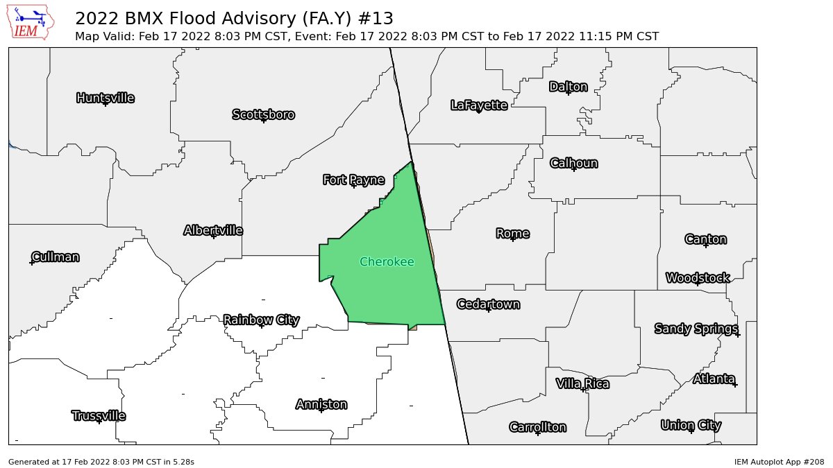
EXPIRED — Areal Flood Advisory for Parts of Cherokee Co. Until 11:15 pm
…FLOOD ADVISORY IN EFFECT UNTIL 1115 PM CST THIS EVENING…
* WHAT…Urban and small stream flooding caused by excessive
rainfall is expected.
* WHERE…A portion of central Alabama, including the following
county, Cherokee.
* WHEN…Until 1115 PM CST.
* IMPACTS…Minor flooding in low-lying and poor drainage areas.
* ADDITIONAL DETAILS…
– At 803 PM CST, Doppler radar indicated heavy rain due to
thunderstorms. This will cause urban and small stream
flooding.
– Some locations that will experience flooding include…
Centre, Cedar Bluff, Centre Municipal Airport, Forney, Little
River Canyon National Preserve, Leesburg, Sand Rock,
Gaylesville, Eastern Weiss Lake, Moshat, Cornwall Furnace
Park, Western Weiss Lake, Tennala, Blanche, Ball Flat,
Pleasant Gap, Cherokee Rock Village, Little River Falls,
Slackland and Howells Crossroads.
PRECAUTIONARY/PREPAREDNESS ACTIONS…
Turn around, don’t drown when encountering flooded roads. Most flood
deaths occur in vehicles.
Category: Alabama's Weather, ALL POSTS
About the Author (Author Profile)
Scott Martin is an operational meteorologist, professional graphic artist, musician, husband, and father. Not only is Scott a member of the National Weather Association, but he is also the Central Alabama Chapter of the NWA president. Scott is also the co-founder of Racecast Weather, which provides forecasts for many racing series across the USA. He also supplies forecasts for the BassMaster Elite Series events including the BassMaster Classic.Subscribe
If you enjoyed this article, subscribe to receive more just like it.


