Late Morning Check On Our Weather
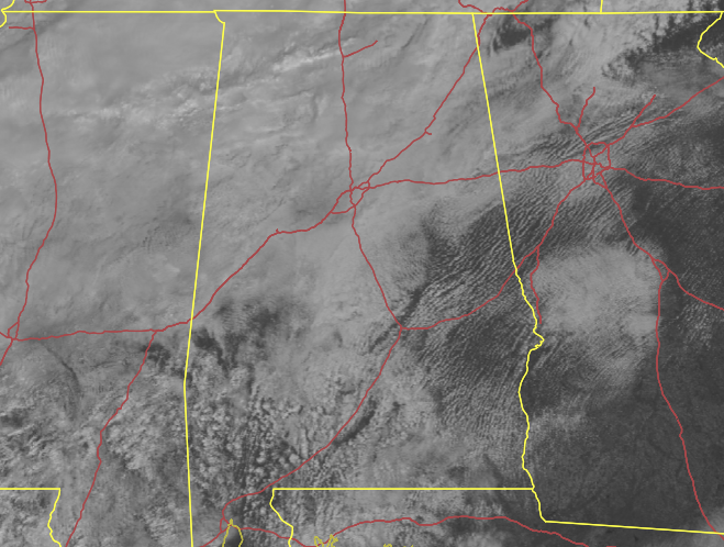
LATE MORNING CONDITIONS: As of 10:40 am we continue to have cloudy skies over Central Alabama along and north of the I-59 corridor, while south of that, there are a few breaks that are allowing for some sunshine to reach the surface at times. There are a few light showers or drizzle falling over the northwest corner of the state, and there may be some mist to a very light rain falling over portions of Bibb and Shelby counties. The rest of the area appears to be dry at this time according to radar. Temperatures as of the 10 am roundup were as low as 47º in Haleyville to as warm as 75º in Eufaula and Troy. Birmingham was sitting at 61º.
WEATHER FOR THE REST OF YOUR THURSDAY: We’ll continue to hang on to this variable cloudiness across the area throughout the rest of the daylight hours, with more showers becoming possible over the northwestern parts of the area this afternoon. Highs will eventually make it up into the lower 70s to the lower 80s across the area from northwest to southeast. For tonight, a cold front will begin to move through the area and will bring rain to most locations north of the I-85 corridor. Lows will range from the lower 40s to the lower 60s across the area.
FRIDAY’S WEATHER: The front will continue to move through the rest of the area on Friday, and rain will remain possible along and ahead of the front. Behind the front, rain chances will begin to drop, but we’ll continue to have a very small chance of a shower or two. Highs will range from the lower 50s to the mid 70s across the area from northwest to southeast.
WEATHER FOR THE WEEKEND: We’ll continue to have a showery pattern over Central Alabama on Saturday as a few showers will be possible during the daylight hours, but rain will increase over the northern half of the area during the evening and overnight hours. Highs will reach the mid 40s to the lower 70s from northwest to southeast. The rain will move southward and much of the activity will be located over the southern half of the area on Sunday. Highs will be in the lower 50s to the mid 60s.
NEXT WEEK: Models continue to keep us dry with comfortable afternoon and cool evenings as highs will be in the 60s to start the week and eventually warming into the mid 60s to the mid 70s by Friday. Lows will be in the 30s and 40s.
Category: Alabama's Weather, ALL POSTS
About the Author (Author Profile)
Scott Martin is an operational meteorologist, professional graphic artist, musician, husband, and father. Not only is Scott a member of the National Weather Association, but he is also the Central Alabama Chapter of the NWA president. Scott is also the co-founder of Racecast Weather, which provides forecasts for many racing series across the USA. He also supplies forecasts for the BassMaster Elite Series events including the BassMaster Classic.Subscribe
If you enjoyed this article, subscribe to receive more just like it.


