NWS Huntsville Upgrades Rest of North Alabama to a Winter Storm Warning
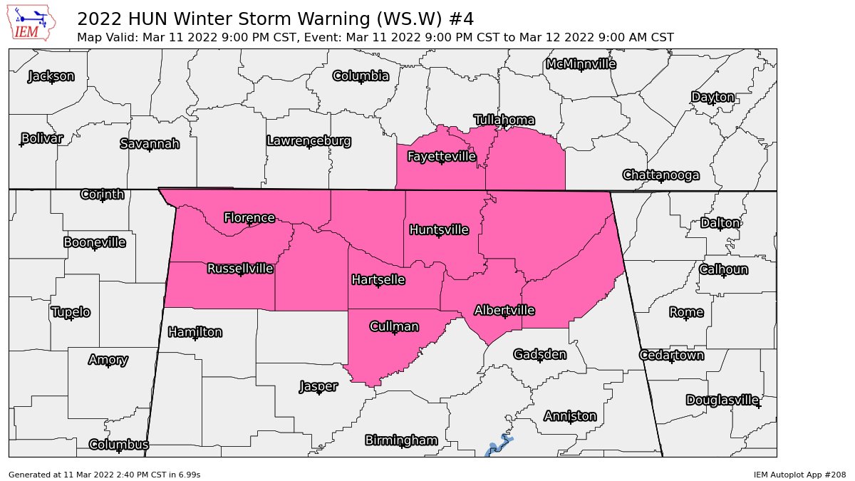
NWS Huntsville has upgraded Cullman, DeKalb, and Marshall counties in North Alabama to a Winter Storm Warning from 9 pm tonight until 9 am Saturday morning. These counties have been added to Colbert, Franklin, Jackson, Lauderdale, Lawrence, Limestone, Madison, and Morgan counties already in the warning.
Snowfall Totals:
– Widespread totals of 2 to 4 inches across northern Alabama (potentially up to 5 inches in southern Middle Tennessee).
– Potential still exists for locally higher amounts beneath persistent snow bands.
Timing and Duration:
– Rain transitions to snow northwest to southeast from 9 pm to 2 am.
– Accumulating snow will taper off to flurries Saturday morning before ending.
Potential Impacts:
– Very hazardous travel conditions will develop late this evening into Saturday morning.
– Snow accumulations of 2 to 4 inches are likely for most areas, with locally higher amounts up to 5 inches across southern Middle Tennessee and beneath any persistent snow bands.
– North northwest winds of 20 to 25 MPH, with gusts of 35 to 45 MPH.
– Bitterly cold wind chills in the single digits to teens both tonight and Saturday night. Saturday afternoon high temperatures will only reach 28 to 32 degrees.
– Combination of winds and snowfall may lead to tree and power line damage.
Category: Alabama's Weather, ALL POSTS, Winter Weather
About the Author (Author Profile)
Scott Martin is an operational meteorologist, professional graphic artist, musician, husband, and father. Not only is Scott a member of the National Weather Association, but he is also the Central Alabama Chapter of the NWA president. Scott is also the co-founder of Racecast Weather, which provides forecasts for many racing series across the USA. He also supplies forecasts for the BassMaster Elite Series events including the BassMaster Classic.Subscribe
If you enjoyed this article, subscribe to receive more just like it.


