Very Nice Outdoors at Midday
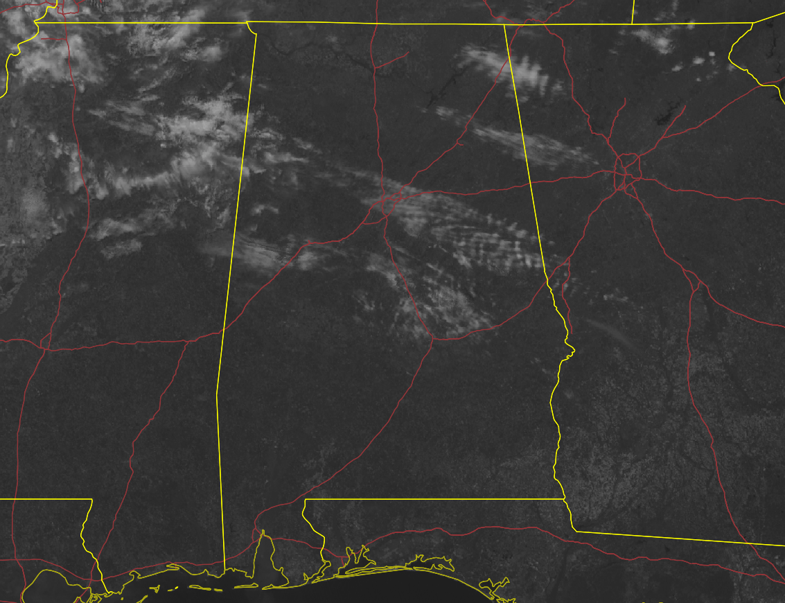
A DECENT END TO THE WEEKEND: After the frosty temperatures we had this morning at daybreak, we have made a decent recovery as were in the mid 50s to the lower 70s as of the 12 pm roundup. Troy was the warm spot at 73º while the cool spot was Haleyville at 54º. Birmingham was sitting at 58º. Most locations were enjoying sunny skies while a few high clouds were streaming across the central and northeastern parts of Central Alabama.
We’ll continue to have mostly sunny skies through the rest of the daylight hours with afternoon highs reaching the lower 60s in the northwestern parts of the area to the mid 70s down in the southeast. For tonight, skies will be mostly clear, and we will not be a chilly as last night as lows will only dip down into the upper 30s to the upper 40s.
LATE SPRINGLIKE TEMPERATURES TO START THE WORK WEEK: We’ll start a great warming trend for the first half of the work week. We’ll be dry on Monday, with mostly sunny skies and highs in the mid 60s to the lower 80s from northwest to southeast. We’ll really start to get warm and humid as we’ll be under a south to southwesterly flow across the area on Tuesday. The weather will continue to stay dry, with highs reaching the upper 70s to the mid 80s underneath plenty of sunshine.
ENHANCED RISK FOR SEVERE STORMS ON WEDNESDAY: Much of the daylight hours on Wednesday will be dry across the area, but rain chances begin to rise during the late afternoon and through the evening hours as a surface low and shortwave will move across Central Alabama. Rain and storms will become likely by evening, and a few strong to severe storms will be possible. Early indications show that this activity may come across as a squall line, which would make damaging winds and a brief spin-up tornado the main threats. However, we are still too far out from when the high-resolution models would come into view, so we’ll have to wait another day before we can really determine the exact timing, threats, and magnitude of this system.
The SPC currently has nearly all of the western half of Central Alabama under a 30% probability (equal to an Enhanced Risk) on their Day 4 Severe Weather Outlook. Much of the rest of the area is in the 15% probability (equal to a Slight Risk) for severe weather.
We’ll also have to watch for the threat of flash flooding once again, as heavy rain will be possible. Projected rainfall totals may exceed 2.50 inches in some locations. We’ll have updates throughout the rest of the weekend, and James Spann will have a good look at this system on Monday morning. Wednesday’s highs will be in the lower to mid 80s.
A MUCH CALMER END TO THE WORK WEEK: By Thursday morning, only the southeastern portions of Central Alabama will see lingering showers and storms from the exiting system, while the rest of the area will start to see clearing skies and much drier weather. Highs will be in the mid 60s to the lower 80s. Friday is April Fool’s Day, but there will be no foolin’ in this forecast. Skies will be mainly sunny, with highs in the upper 60s to the upper 70s.
HOW ABOUT NEXT WEEKEND?: A disturbance will be moving across the southeast on Saturday that will bring a chance of showers and storms to the area, with much of the activity occurring south of I-20. That activity will be out of here by Sunday, and we’ll be dry with mild temperatures. Highs will be in the mid 60s to the mid 70s on both days.
Category: Alabama's Weather, ALL POSTS, Severe Weather
About the Author (Author Profile)
Scott Martin is an operational meteorologist, professional graphic artist, musician, husband, and father. Not only is Scott a member of the National Weather Association, but he is also the Central Alabama Chapter of the NWA president. Scott is also the co-founder of Racecast Weather, which provides forecasts for many racing series across the USA. He also supplies forecasts for the BassMaster Elite Series events including the BassMaster Classic.Subscribe
If you enjoyed this article, subscribe to receive more just like it.


