Sunday Morning Forecast Check: Latest on Wednesday Heavy Rain/Severe Threat
A beautiful April Sunday is in progress across Alabama. Under bright blue skies, readings are recovering nicely from overnight lows that were predominantly in the 30s. Calera, Auburn, and Demopolis were the only first-order stations to stay out of the 30s this morning. Gadsden checked in with 30F, Haleyville and Pell City had 32F. It was 39F in Birmingham, 38F in Tuscaloosa, and 36F in Anniston.
Readings were already in the lower 60s at most spots across North and Central Alabama at the 10 a.m. hour.
With full, strong spring sunshine, temperatures today will rebound to the lower 70s North, middle 70s in the I-20 Corridor, and upper 70s to the south. These readings will be very close to seasonal averages for the date. The average high at Birmingham for this date is 74 degrees. The normal low is 51F.
Skies should remain clear through much of the day. High pressure centered at the surface over the eastern Gulf of Mexico is pumping copious amounts of moisture up into the Arklatex this morning. Showers will begin to break out by this evening in that region. Low pressure moving through the Upper Midwest will start to fire storms this evening over parts of Missouri, Kansas, Oklahoma, and northwest Arkansas.
Our clouds will start to increase, and winds will as well ahead of the next system, so it will be breezy overnight. Lows tonight will be in the inthe 50s areawide, but a little warmer west. A few locations in the eastern portion of the state will manage to drop into the 40s.
A few showers will work into Alabama on Monday, but rainfall amounts should be light. There could be a little thunder mixed in. Highs tomorrow will be in the 70s. Strong to severe storms will affect places like Memphis, Little Rock, Dallas, and Waco tomorrow and tomorrow night.
The frontal system will drift down into western Tennessee by Tuesday morning, increasing rain chances for Northwest Alabama. To the west of us, a large corridor of severe weather will affect areas from Iowa down to Dallas. We should be mainly dry across Central Alabama however.
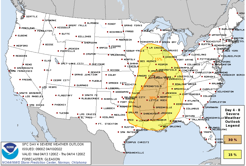
Rain and storms will be on the increase on Wednesday across a wide area from Wisconsin to Alabama, Mississippi, and Louisiana by Wednesday. Much of Alabama will have a risk for severe storms as substantial warmth, moisture, and instability will be present along with bulk wind shear capable of producing strong to severe storms by Wednesday. Tornadoes, damaging winds, and large hail are the possible threats for Wednesday and Wednesday afternoon. Later forecasts will be able to refine the timing and threat. Heavy rainfall could pose a risk for flooding by Wednesday, especially over northwestern Alabama. So Wednesday will be a day to be weather-ready.
The storms move out Thursday morning, but rain will return as early as Friday night.
Category: Alabama's Weather, ALL POSTS, Severe Weather
About the Author (Author Profile)
Bill Murray is the President of The Weather Factory. He is the site's official weather historian and a weekend forecaster. He also anchors the site's severe weather coverage. Bill Murray is the proud holder of National Weather Association Digital Seal #0001 @wxhistorianSubscribe
If you enjoyed this article, subscribe to receive more just like it.


