Heavy Rains over Northeast Alabama
Moisture has been surging into Alabama from the southwest due to a trough the west of us.
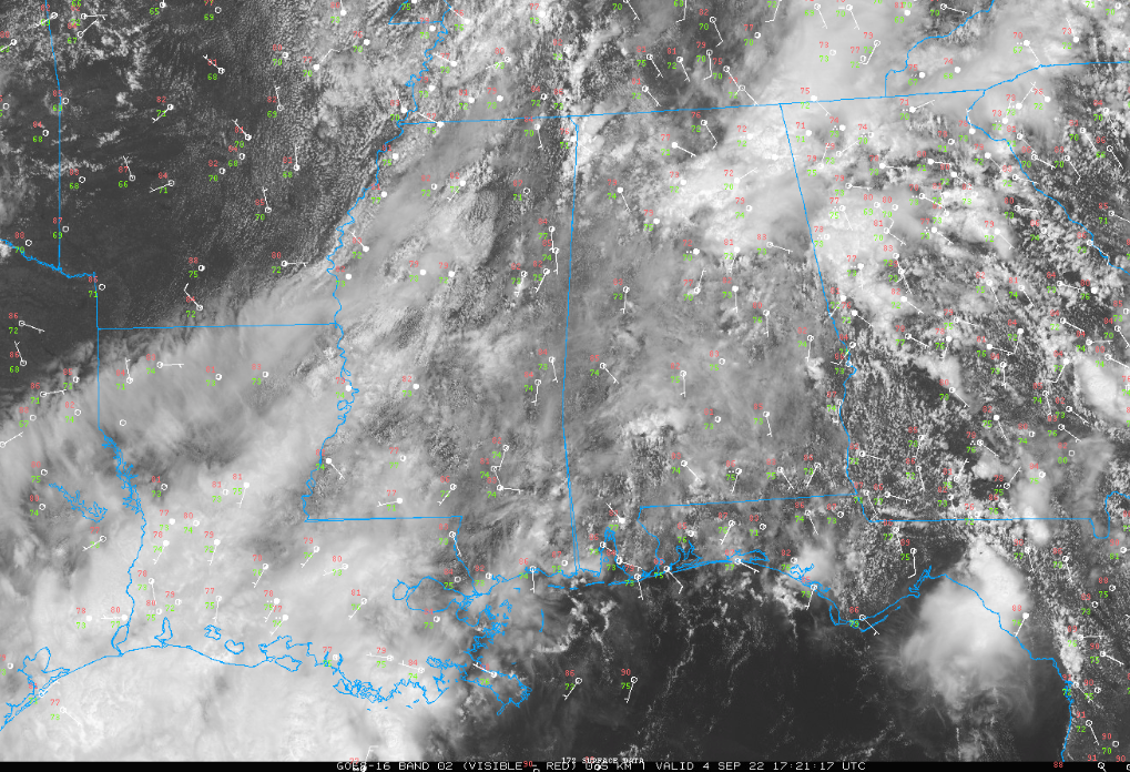
It has resulted in pretty heavy rains from the Birmingham Metro area northeastward into Northeast Alabama.
Up to 8 inches of ran has fallen this morning in areas west of Guntwervilles. Flash flood warnings continue for parts of the afternoon for portions of Marshall, DeKalb, and Jackson counties.
Only isolated showers and storms over the rest of the state, with West Central Alabama free of precipitation.
Skies are mostly cloudy over the northeastern quarter of the state, with partly sunny conditions elsewhere. The sunnier areas are climbing into the lower 80s. It is 84F at Tuscaloosa. 70s are common in the cloudier spots. It is 72F at the Birmingham Shuttlesworth International Airport.
It looks like another wave of rain with some embedded thunder will move across the area late tonight.
Be alert for lightning and local flooding in those heavier downpours.
Category: Alabama's Weather, ALL POSTS, Severe Weather
About the Author (Author Profile)
Bill Murray is the President of The Weather Factory. He is the site's official weather historian and a weekend forecaster. He also anchors the site's severe weather coverage. Bill Murray is the proud holder of National Weather Association Digital Seal #0001 @wxhistorianSubscribe
If you enjoyed this article, subscribe to receive more just like it.


